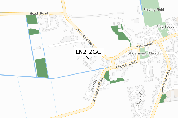
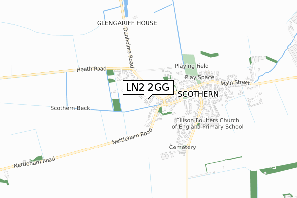
LN2 2GG is located in the Sudbrooke electoral ward, within the local authority district of West Lindsey and the English Parliamentary constituency of Gainsborough. The Sub Integrated Care Board (ICB) Location is NHS Lincolnshire ICB - 71E and the police force is Lincolnshire. This postcode has been in use since October 2019.


GetTheData
Source: OS Open Zoomstack (Ordnance Survey)
Licence: Open Government Licence (requires attribution)
Attribution: Contains OS data © Crown copyright and database right 2025
Source: Open Postcode Geo
Licence: Open Government Licence (requires attribution)
Attribution: Contains OS data © Crown copyright and database right 2025; Contains Royal Mail data © Royal Mail copyright and database right 2025; Source: Office for National Statistics licensed under the Open Government Licence v.3.0
| Easting | 503008 |
| Northing | 377422 |
| Latitude | 53.283795 |
| Longitude | -0.456400 |
GetTheData
Source: Open Postcode Geo
Licence: Open Government Licence
| Country | England |
| Postcode District | LN2 |
➜ See where LN2 is on a map ➜ Where is Scothern? | |
GetTheData
Source: Land Registry Price Paid Data
Licence: Open Government Licence
| Ward | Sudbrooke |
| Constituency | Gainsborough |
GetTheData
Source: ONS Postcode Database
Licence: Open Government Licence
2023 14 MAY £380,000 |
6A, SAINT GERMAINS WAY, SCOTHERN, LINCOLN, LN2 2GG 2022 11 FEB £325,000 |
2022 21 JAN £625,000 |
14, SAINT GERMAINS WAY, SCOTHERN, LINCOLN, LN2 2GG 2021 9 DEC £395,000 |
12, SAINT GERMAINS WAY, SCOTHERN, LINCOLN, LN2 2GG 2021 30 JUN £410,000 |
2021 29 JUN £357,000 |
10, SAINT GERMAINS WAY, SCOTHERN, LINCOLN, LN2 2GG 2021 18 JUN £452,500 |
16, SAINT GERMAINS WAY, SCOTHERN, LINCOLN, LN2 2GG 2021 3 JUN £400,000 |
5, SAINT GERMAINS WAY, SCOTHERN, LINCOLN, LN2 2GG 2021 20 MAY £510,000 |
8, SAINT GERMAINS WAY, SCOTHERN, LINCOLN, LN2 2GG 2021 26 MAR £345,000 |
GetTheData
Source: HM Land Registry Price Paid Data
Licence: Contains HM Land Registry data © Crown copyright and database right 2025. This data is licensed under the Open Government Licence v3.0.
| Scothern Nursery (Dunholme Road) | Scothern | 94m |
| Scothern Nursery (Dunholme Road) | Scothern | 99m |
| Cade Close (Nettleham Road) | Scothern | 230m |
| Cade Close (Nettleham Road) | Scothern | 234m |
| St German's Church (Church Street) | Scothern | 307m |
GetTheData
Source: NaPTAN
Licence: Open Government Licence
GetTheData
Source: ONS Postcode Database
Licence: Open Government Licence


➜ Get more ratings from the Food Standards Agency
GetTheData
Source: Food Standards Agency
Licence: FSA terms & conditions
| Last Collection | |||
|---|---|---|---|
| Location | Mon-Fri | Sat | Distance |
| Heath Lea | 16:15 | 11:30 | 169m |
| Scothern Post Office | 16:00 | 11:30 | 482m |
| Dunholme | 17:15 | 12:15 | 2,003m |
GetTheData
Source: Dracos
Licence: Creative Commons Attribution-ShareAlike
The below table lists the International Territorial Level (ITL) codes (formerly Nomenclature of Territorial Units for Statistics (NUTS) codes) and Local Administrative Units (LAU) codes for LN2 2GG:
| ITL 1 Code | Name |
|---|---|
| TLF | East Midlands (England) |
| ITL 2 Code | Name |
| TLF3 | Lincolnshire |
| ITL 3 Code | Name |
| TLF30 | Lincolnshire CC |
| LAU 1 Code | Name |
| E07000142 | West Lindsey |
GetTheData
Source: ONS Postcode Directory
Licence: Open Government Licence
The below table lists the Census Output Area (OA), Lower Layer Super Output Area (LSOA), and Middle Layer Super Output Area (MSOA) for LN2 2GG:
| Code | Name | |
|---|---|---|
| OA | E00134161 | |
| LSOA | E01026405 | West Lindsey 010D |
| MSOA | E02005501 | West Lindsey 010 |
GetTheData
Source: ONS Postcode Directory
Licence: Open Government Licence
| LN2 2UD | Dunholme Road | 127m |
| LN2 2TY | Nettleham Road | 148m |
| LN2 2TZ | Heathlea | 192m |
| LN2 2WJ | Cade Close | 210m |
| LN2 2UF | Main Street | 265m |
| LN2 2UA | Church Street | 336m |
| LN2 2UQ | School Crescent | 382m |
| LN2 2UG | Main Street | 393m |
| LN2 2UB | Vicarage Lane | 399m |
| LN2 2WD | The Alders | 402m |
GetTheData
Source: Open Postcode Geo; Land Registry Price Paid Data
Licence: Open Government Licence