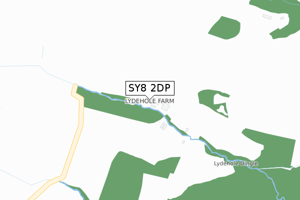
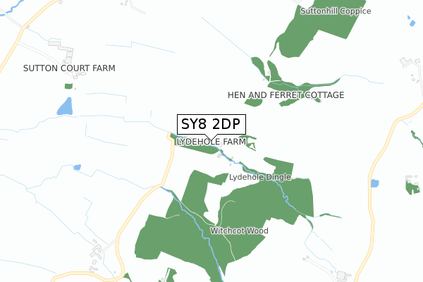
SY8 2DP is located in the Corvedale electoral ward, within the unitary authority of Shropshire and the English Parliamentary constituency of Ludlow. The Sub Integrated Care Board (ICB) Location is NHS Shropshire, Telford and Wrekin ICB - M2L0M and the police force is West Mercia. This postcode has been in use since May 2019.


GetTheData
Source: OS Open Zoomstack (Ordnance Survey)
Licence: Open Government Licence (requires attribution)
Attribution: Contains OS data © Crown copyright and database right 2025
Source: Open Postcode Geo
Licence: Open Government Licence (requires attribution)
Attribution: Contains OS data © Crown copyright and database right 2025; Contains Royal Mail data © Royal Mail copyright and database right 2025; Source: Office for National Statistics licensed under the Open Government Licence v.3.0
| Easting | 352066 |
| Northing | 282025 |
| Latitude | 52.434101 |
| Longitude | -2.706481 |
GetTheData
Source: Open Postcode Geo
Licence: Open Government Licence
| Country | England |
| Postcode District | SY8 |
➜ See where SY8 is on a map | |
GetTheData
Source: Land Registry Price Paid Data
Licence: Open Government Licence
| Ward | Corvedale |
| Constituency | Ludlow |
GetTheData
Source: ONS Postcode Database
Licence: Open Government Licence
| White House (Main Road) | Upper Hayton | 1,057m |
| White House (Main Road) | Upper Hayton | 1,084m |
| Farm (Main Road) | Great Sutton | 1,180m |
| North Sutton House (Main Road) | Great Sutton | 1,185m |
| Junction (Main Road) | Hayton's Bent | 1,261m |
GetTheData
Source: NaPTAN
Licence: Open Government Licence
| Percentage of properties with Next Generation Access | 100.0% |
| Percentage of properties with Superfast Broadband | 0.0% |
| Percentage of properties with Ultrafast Broadband | 0.0% |
| Percentage of properties with Full Fibre Broadband | 0.0% |
Superfast Broadband is between 30Mbps and 300Mbps
Ultrafast Broadband is > 300Mbps
| Percentage of properties unable to receive 2Mbps | 100.0% |
| Percentage of properties unable to receive 5Mbps | 100.0% |
| Percentage of properties unable to receive 10Mbps | 100.0% |
| Percentage of properties unable to receive 30Mbps | 100.0% |
GetTheData
Source: Ofcom
Licence: Ofcom Terms of Use (requires attribution)
GetTheData
Source: ONS Postcode Database
Licence: Open Government Licence
| Last Collection | |||
|---|---|---|---|
| Location | Mon-Fri | Sat | Distance |
| Stanton Lacy Post Office | 09:00 | 09:00 | 3,899m |
| Clee St Margarets | 11:00 | 11:00 | 5,093m |
| The Heath | 11:00 | 11:00 | 5,119m |
GetTheData
Source: Dracos
Licence: Creative Commons Attribution-ShareAlike
The below table lists the International Territorial Level (ITL) codes (formerly Nomenclature of Territorial Units for Statistics (NUTS) codes) and Local Administrative Units (LAU) codes for SY8 2DP:
| ITL 1 Code | Name |
|---|---|
| TLG | West Midlands (England) |
| ITL 2 Code | Name |
| TLG2 | Shropshire and Staffordshire |
| ITL 3 Code | Name |
| TLG22 | Shropshire |
| LAU 1 Code | Name |
| E06000051 | Shropshire |
GetTheData
Source: ONS Postcode Directory
Licence: Open Government Licence
The below table lists the Census Output Area (OA), Lower Layer Super Output Area (LSOA), and Middle Layer Super Output Area (MSOA) for SY8 2DP:
| Code | Name | |
|---|---|---|
| OA | E00147766 | |
| LSOA | E01029015 | Shropshire 036E |
| MSOA | E02006043 | Shropshire 036 |
GetTheData
Source: ONS Postcode Directory
Licence: Open Government Licence
| SY8 2AJ | 994m | |
| SY8 2BB | 1043m | |
| SY8 2BG | 1141m | |
| SY8 2BD | 1176m | |
| SY8 2AX | Bull Ring | 1332m |
| SY8 2AT | 1349m | |
| SY8 2AN | 1485m | |
| SY8 2AY | 1650m | |
| SY8 2AH | 1686m | |
| SY8 2AU | Thriftwicket Lane | 1790m |
GetTheData
Source: Open Postcode Geo; Land Registry Price Paid Data
Licence: Open Government Licence