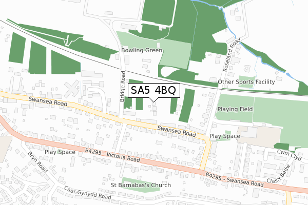
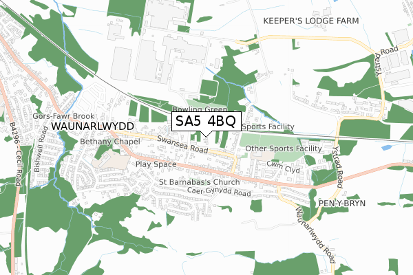
SA5 4BQ is located in the Waunarlwydd electoral ward, within the unitary authority of Swansea and the Welsh Parliamentary constituency of Swansea West. The Local Health Board is Swansea Bay University and the police force is South Wales. This postcode has been in use since April 2020.


GetTheData
Source: OS Open Zoomstack (Ordnance Survey)
Licence: Open Government Licence (requires attribution)
Attribution: Contains OS data © Crown copyright and database right 2025
Source: Open Postcode Geo
Licence: Open Government Licence (requires attribution)
Attribution: Contains OS data © Crown copyright and database right 2025; Contains Royal Mail data © Royal Mail copyright and database right 2025; Source: Office for National Statistics licensed under the Open Government Licence v.3.0
| Easting | 260568 |
| Northing | 195536 |
| Latitude | 51.641296 |
| Longitude | -4.016427 |
GetTheData
Source: Open Postcode Geo
Licence: Open Government Licence
| Country | Wales |
| Postcode District | SA5 |
➜ See where SA5 is on a map ➜ Where is Waunarlwydd? | |
GetTheData
Source: Land Registry Price Paid Data
Licence: Open Government Licence
| Ward | Waunarlwydd |
| Constituency | Swansea West |
GetTheData
Source: ONS Postcode Database
Licence: Open Government Licence
2022 2 AUG £580,000 |
7, OLD FARM CLOSE, WAUNARLWYDD, SWANSEA, SA5 4BQ 2022 14 MAR £385,000 |
8, OLD FARM CLOSE, WAUNARLWYDD, SWANSEA, SA5 4BQ 2021 17 DEC £385,000 |
4, OLD FARM CLOSE, WAUNARLWYDD, SWANSEA, SA5 4BQ 2021 8 JAN £450,000 |
2020 7 SEP £450,000 |
2, OLD FARM CLOSE, WAUNARLWYDD, SWANSEA, SA5 4BQ 2020 15 MAY £450,000 |
GetTheData
Source: HM Land Registry Price Paid Data
Licence: Contains HM Land Registry data © Crown copyright and database right 2025. This data is licensed under the Open Government Licence v3.0.
| Swansea Road Alcoa (Swansea Road) | Waunarlwydd | 98m |
| Swansea Road Alcoa (Swansea Road) | Waunarlwydd | 123m |
| Masons Arms (Swansea Road) | Waunarlwydd | 187m |
| Masons Arms (Swansea Road) | Waunarlwydd | 187m |
| Stepney Road (Victoria Road) | Waunarlwydd | 216m |
| Gowerton Station | 1.6km |
GetTheData
Source: NaPTAN
Licence: Open Government Licence
GetTheData
Source: ONS Postcode Database
Licence: Open Government Licence


➜ Get more ratings from the Food Standards Agency
GetTheData
Source: Food Standards Agency
Licence: FSA terms & conditions
| Last Collection | |||
|---|---|---|---|
| Location | Mon-Fri | Sat | Distance |
| Swansea Road | 17:45 | 11:30 | 224m |
| Waunarlwydd P O | 17:45 | 11:30 | 424m |
| Mynydd Bach Y Glo | 17:45 | 11:45 | 835m |
GetTheData
Source: Dracos
Licence: Creative Commons Attribution-ShareAlike
The below table lists the International Territorial Level (ITL) codes (formerly Nomenclature of Territorial Units for Statistics (NUTS) codes) and Local Administrative Units (LAU) codes for SA5 4BQ:
| ITL 1 Code | Name |
|---|---|
| TLL | Wales |
| ITL 2 Code | Name |
| TLL1 | West Wales and The Valleys |
| ITL 3 Code | Name |
| TLL18 | Swansea |
| LAU 1 Code | Name |
| W06000011 | Swansea |
GetTheData
Source: ONS Postcode Directory
Licence: Open Government Licence
The below table lists the Census Output Area (OA), Lower Layer Super Output Area (LSOA), and Middle Layer Super Output Area (MSOA) for SA5 4BQ:
| Code | Name | |
|---|---|---|
| OA | W00004097 | |
| LSOA | W01000759 | Swansea 012A |
| MSOA | W02000179 | Swansea 012 |
GetTheData
Source: ONS Postcode Directory
Licence: Open Government Licence
| SA5 4SR | Swansea Road | 71m |
| SA5 4SS | Swansea Road | 137m |
| SA5 4TA | Stepney Road | 178m |
| SA5 4SP | Bridge Road | 187m |
| SA5 4SX | Victoria Road | 197m |
| SA5 4SY | Victoria Road | 229m |
| SA5 4ST | Roseland Road | 243m |
| SA5 4SU | Swansea Road | 245m |
| SA5 4SN | Swansea Road | 249m |
| SA5 4RF | Caergynydd Road | 310m |
GetTheData
Source: Open Postcode Geo; Land Registry Price Paid Data
Licence: Open Government Licence