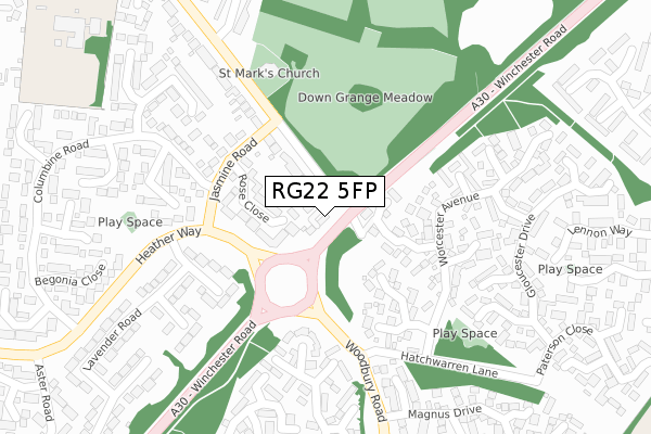
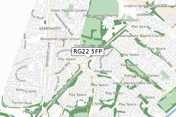
RG22 5FP is located in the Kempshott & Buckskin electoral ward, within the local authority district of Basingstoke and Deane and the English Parliamentary constituency of Basingstoke. The Sub Integrated Care Board (ICB) Location is NHS Hampshire and Isle of Wight ICB - D9Y0V and the police force is Hampshire. This postcode has been in use since November 2019.


GetTheData
Source: OS Open Zoomstack (Ordnance Survey)
Licence: Open Government Licence (requires attribution)
Attribution: Contains OS data © Crown copyright and database right 2025
Source: Open Postcode Geo
Licence: Open Government Licence (requires attribution)
Attribution: Contains OS data © Crown copyright and database right 2025; Contains Royal Mail data © Royal Mail copyright and database right 2025; Source: Office for National Statistics licensed under the Open Government Licence v.3.0
| Easting | 460676 |
| Northing | 149554 |
| Latitude | 51.241945 |
| Longitude | -1.132150 |
GetTheData
Source: Open Postcode Geo
Licence: Open Government Licence
| Country | England |
| Postcode District | RG22 |
➜ See where RG22 is on a map ➜ Where is Basingstoke? | |
GetTheData
Source: Land Registry Price Paid Data
Licence: Open Government Licence
| Ward | Kempshott & Buckskin |
| Constituency | Basingstoke |
GetTheData
Source: ONS Postcode Database
Licence: Open Government Licence
2023 26 MAY £600,000 |
4, SOUTHGATE CLOSE, BASINGSTOKE, RG22 5FP 2020 6 AUG £415,000 |
2020 31 JAN £500,000 |
3, SOUTHGATE CLOSE, BASINGSTOKE, RG22 5FP 2020 24 JAN £405,000 |
2019 26 NOV £491,650 |
7, SOUTHGATE CLOSE, BASINGSTOKE, RG22 5FP 2019 8 NOV £385,000 |
2016 12 FEB £775,000 |
GetTheData
Source: HM Land Registry Price Paid Data
Licence: Contains HM Land Registry data © Crown copyright and database right 2025. This data is licensed under the Open Government Licence v3.0.
| Magnus Drive (Woodbury Road) | Hatch Warren | 260m |
| Lavender Road (Heather Way) | Kempshott | 273m |
| Magnus Drive (Woodbury Road) | Hatch Warren | 302m |
| Lavender Road (Heather Way) | Kempshott | 310m |
| Cropmark Way (Long Cross Lane) | Hatch Warren | 396m |
| Basingstoke Station | 4.3km |
GetTheData
Source: NaPTAN
Licence: Open Government Licence
GetTheData
Source: ONS Postcode Database
Licence: Open Government Licence


➜ Get more ratings from the Food Standards Agency
GetTheData
Source: Food Standards Agency
Licence: FSA terms & conditions
| Last Collection | |||
|---|---|---|---|
| Location | Mon-Fri | Sat | Distance |
| Worcester Avenue | 17:15 | 10:15 | 232m |
| Heather Way | 16:00 | 10:30 | 286m |
| Kempshott Lane | 16:00 | 10:15 | 585m |
GetTheData
Source: Dracos
Licence: Creative Commons Attribution-ShareAlike
The below table lists the International Territorial Level (ITL) codes (formerly Nomenclature of Territorial Units for Statistics (NUTS) codes) and Local Administrative Units (LAU) codes for RG22 5FP:
| ITL 1 Code | Name |
|---|---|
| TLJ | South East (England) |
| ITL 2 Code | Name |
| TLJ3 | Hampshire and Isle of Wight |
| ITL 3 Code | Name |
| TLJ37 | North Hampshire |
| LAU 1 Code | Name |
| E07000084 | Basingstoke and Deane |
GetTheData
Source: ONS Postcode Directory
Licence: Open Government Licence
The below table lists the Census Output Area (OA), Lower Layer Super Output Area (LSOA), and Middle Layer Super Output Area (MSOA) for RG22 5FP:
| Code | Name | |
|---|---|---|
| OA | E00114490 | |
| LSOA | E01022519 | Basingstoke and Deane 018E |
| MSOA | E02004692 | Basingstoke and Deane 018 |
GetTheData
Source: ONS Postcode Directory
Licence: Open Government Licence
| RG22 4EU | Winchester Road | 68m |
| RG22 5LH | Homesteads Road | 80m |
| RG22 5NF | Rose Close | 95m |
| RG22 4PZ | Truro Place | 102m |
| RG22 4PW | Canterbury Close | 140m |
| RG22 4PY | Coventry Close | 168m |
| RG22 4PP | Westminster Close | 169m |
| RG22 5NE | Sunflower Close | 176m |
| RG22 5ND | Jasmine Road | 181m |
| RG22 5RQ | Dahlia Close | 200m |
GetTheData
Source: Open Postcode Geo; Land Registry Price Paid Data
Licence: Open Government Licence