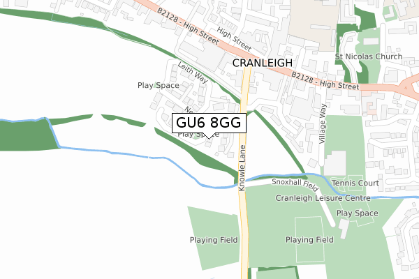
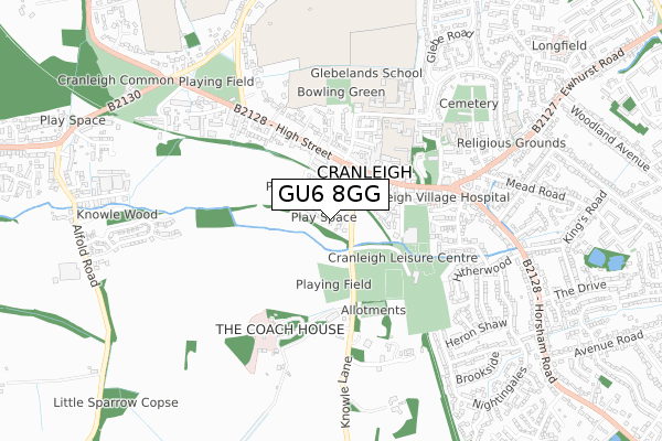
GU6 8GG is located in the Cranleigh West electoral ward, within the local authority district of Waverley and the English Parliamentary constituency of Guildford. The Sub Integrated Care Board (ICB) Location is NHS Surrey Heartlands ICB - 92A and the police force is Surrey. This postcode has been in use since September 2019.


GetTheData
Source: OS Open Zoomstack (Ordnance Survey)
Licence: Open Government Licence (requires attribution)
Attribution: Contains OS data © Crown copyright and database right 2024
Source: Open Postcode Geo
Licence: Open Government Licence (requires attribution)
Attribution: Contains OS data © Crown copyright and database right 2024; Contains Royal Mail data © Royal Mail copyright and database right 2024; Source: Office for National Statistics licensed under the Open Government Licence v.3.0
| Easting | 505533 |
| Northing | 138933 |
| Latitude | 51.139946 |
| Longitude | -0.492850 |
GetTheData
Source: Open Postcode Geo
Licence: Open Government Licence
| Country | England |
| Postcode District | GU6 |
➜ See where GU6 is on a map ➜ Where is Cranleigh? | |
GetTheData
Source: Land Registry Price Paid Data
Licence: Open Government Licence
| Ward | Cranleigh West |
| Constituency | Guildford |
GetTheData
Source: ONS Postcode Database
Licence: Open Government Licence
GREEN GABLES, 3, HYDON GROVE, CRANLEIGH, GU6 8GG 2023 21 APR £995,000 |
2022 19 OCT £900,000 |
6, HYDON GROVE, CRANLEIGH, GU6 8GG 2021 9 JUN £863,500 |
5, HYDON GROVE, CRANLEIGH, GU6 8GG 2021 13 MAY £855,000 |
9, HYDON GROVE, CRANLEIGH, GU6 8GG 2021 26 FEB £888,950 |
10, HYDON GROVE, CRANLEIGH, GU6 8GG 2021 12 FEB £888,950 |
8, HYDON GROVE, CRANLEIGH, GU6 8GG 2021 15 JAN £807,950 |
7, HYDON GROVE, CRANLEIGH, GU6 8GG 2021 8 JAN £807,950 |
4, HYDON GROVE, CRANLEIGH, GU6 8GG 2020 26 JUN £745,000 |
2020 13 MAY £920,000 |
GetTheData
Source: HM Land Registry Price Paid Data
Licence: Contains HM Land Registry data © Crown copyright and database right 2024. This data is licensed under the Open Government Licence v3.0.
| Stocklund Square (High Street) | Cranleigh | 220m |
| High Street | Cranleigh | 238m |
| High Street (Rowland Road) | Cranleigh | 286m |
| High Street (Rowland Road) | Cranleigh | 328m |
| Baptist Church (High Street) | Cranleigh | 403m |
GetTheData
Source: NaPTAN
Licence: Open Government Licence
GetTheData
Source: ONS Postcode Database
Licence: Open Government Licence


➜ Get more ratings from the Food Standards Agency
GetTheData
Source: Food Standards Agency
Licence: FSA terms & conditions
| Last Collection | |||
|---|---|---|---|
| Location | Mon-Fri | Sat | Distance |
| High Street | 17:30 | 11:30 | 314m |
| Cranleigh Post Office | 18:00 | 12:30 | 325m |
| Horsham Road | 17:15 | 12:00 | 555m |
GetTheData
Source: Dracos
Licence: Creative Commons Attribution-ShareAlike
The below table lists the International Territorial Level (ITL) codes (formerly Nomenclature of Territorial Units for Statistics (NUTS) codes) and Local Administrative Units (LAU) codes for GU6 8GG:
| ITL 1 Code | Name |
|---|---|
| TLJ | South East (England) |
| ITL 2 Code | Name |
| TLJ2 | Surrey, East and West Sussex |
| ITL 3 Code | Name |
| TLJ25 | West Surrey |
| LAU 1 Code | Name |
| E07000216 | Waverley |
GetTheData
Source: ONS Postcode Directory
Licence: Open Government Licence
The below table lists the Census Output Area (OA), Lower Layer Super Output Area (LSOA), and Middle Layer Super Output Area (MSOA) for GU6 8GG:
| Code | Name | |
|---|---|---|
| OA | E00157431 | |
| LSOA | E01030875 | Waverley 013F |
| MSOA | E02006451 | Waverley 013 |
GetTheData
Source: ONS Postcode Directory
Licence: Open Government Licence
| GU6 8RJ | High Street | 179m |
| GU6 8RD | Knowle Lane | 200m |
| GU6 8AJ | High Street | 239m |
| GU6 8RA | John Wiskar Drive | 243m |
| GU6 8BB | High Street | 260m |
| GU6 8AU | High Street | 282m |
| GU6 8SL | The Common | 296m |
| GU6 8RL | High Street | 302m |
| GU6 8FD | Onslow Mews | 303m |
| GU6 8AG | High Street | 303m |
GetTheData
Source: Open Postcode Geo; Land Registry Price Paid Data
Licence: Open Government Licence