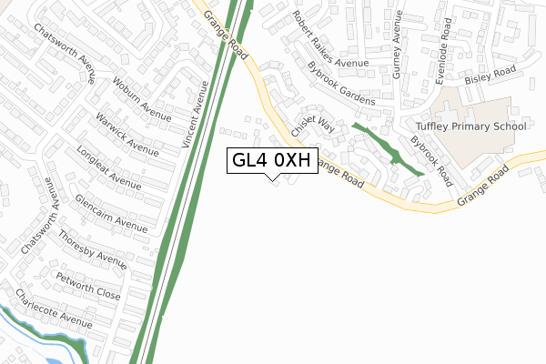
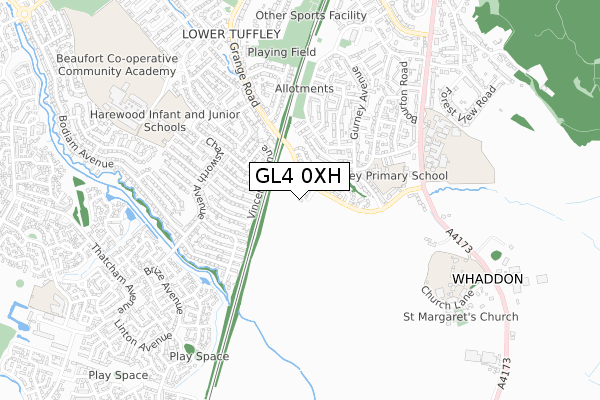
GL4 0XH is located in the Tuffley electoral ward, within the local authority district of Gloucester and the English Parliamentary constituency of Gloucester. The Sub Integrated Care Board (ICB) Location is NHS Gloucestershire ICB - 11M and the police force is Gloucestershire. This postcode has been in use since January 2020.


GetTheData
Source: OS Open Zoomstack (Ordnance Survey)
Licence: Open Government Licence (requires attribution)
Attribution: Contains OS data © Crown copyright and database right 2024
Source: Open Postcode Geo
Licence: Open Government Licence (requires attribution)
Attribution: Contains OS data © Crown copyright and database right 2024; Contains Royal Mail data © Royal Mail copyright and database right 2024; Source: Office for National Statistics licensed under the Open Government Licence v.3.0
| Easting | 382698 |
| Northing | 214181 |
| Latitude | 51.825983 |
| Longitude | -2.252451 |
GetTheData
Source: Open Postcode Geo
Licence: Open Government Licence
| Country | England |
| Postcode District | GL4 |
➜ See where GL4 is on a map ➜ Where is Gloucester? | |
GetTheData
Source: Land Registry Price Paid Data
Licence: Open Government Licence
| Ward | Tuffley |
| Constituency | Gloucester |
GetTheData
Source: ONS Postcode Database
Licence: Open Government Licence
2, LAINES WALK, TUFFLEY, GLOUCESTER, GL4 0XH 2023 30 NOV £304,000 |
1, LAINES WALK, TUFFLEY, GLOUCESTER, GL4 0XH 2021 26 NOV £293,000 |
11, LAINES WALK, TUFFLEY, GLOUCESTER, GL4 0XH 2021 26 NOV £325,000 |
12, LAINES WALK, TUFFLEY, GLOUCESTER, GL4 0XH 2020 28 MAY £322,995 |
GetTheData
Source: HM Land Registry Price Paid Data
Licence: Contains HM Land Registry data © Crown copyright and database right 2024. This data is licensed under the Open Government Licence v3.0.
| Gurney Avenue (Robert Raikes Avenue) | Tuffley | 234m |
| Goddard Way (Robert Raikes Avenue) | Tuffley | 243m |
| Bybrook Road School Service (Grange Road) | Tuffley | 284m |
| Bybrook Road School Stop (Grange Road) | Tuffley | 285m |
| Pata (Grange Road) | Tuffley | 400m |
| Gloucester Station | 4.5km |
GetTheData
Source: NaPTAN
Licence: Open Government Licence
GetTheData
Source: ONS Postcode Database
Licence: Open Government Licence


➜ Get more ratings from the Food Standards Agency
GetTheData
Source: Food Standards Agency
Licence: FSA terms & conditions
| Last Collection | |||
|---|---|---|---|
| Location | Mon-Fri | Sat | Distance |
| Linsley Way | 17:15 | 12:15 | 255m |
| Windsor Drive | 17:30 | 12:45 | 470m |
| Chatsworth Avenue | 17:30 | 12:45 | 472m |
GetTheData
Source: Dracos
Licence: Creative Commons Attribution-ShareAlike
The below table lists the International Territorial Level (ITL) codes (formerly Nomenclature of Territorial Units for Statistics (NUTS) codes) and Local Administrative Units (LAU) codes for GL4 0XH:
| ITL 1 Code | Name |
|---|---|
| TLK | South West (England) |
| ITL 2 Code | Name |
| TLK1 | Gloucestershire, Wiltshire and Bath/Bristol area |
| ITL 3 Code | Name |
| TLK13 | Gloucestershire CC |
| LAU 1 Code | Name |
| E07000081 | Gloucester |
GetTheData
Source: ONS Postcode Directory
Licence: Open Government Licence
The below table lists the Census Output Area (OA), Lower Layer Super Output Area (LSOA), and Middle Layer Super Output Area (MSOA) for GL4 0XH:
| Code | Name | |
|---|---|---|
| OA | E00113573 | |
| LSOA | E01022345 | Gloucester 012C |
| MSOA | E02004647 | Gloucester 012 |
GetTheData
Source: ONS Postcode Directory
Licence: Open Government Licence
| GL4 0QQ | Chislet Way | 82m |
| GL4 0QD | Whaddon Way | 134m |
| GL4 0RE | Enborne Close | 159m |
| GL4 0NP | Grange Road | 177m |
| GL4 0HQ | Bybrook Gardens | 184m |
| GL4 0HG | Linsley Way | 184m |
| GL4 0HJ | Robert Raikes Avenue | 209m |
| GL4 0QE | Harwell Close | 216m |
| GL4 0HL | Robert Raikes Avenue | 240m |
| GL4 0HH | Bateman Close | 258m |
GetTheData
Source: Open Postcode Geo; Land Registry Price Paid Data
Licence: Open Government Licence