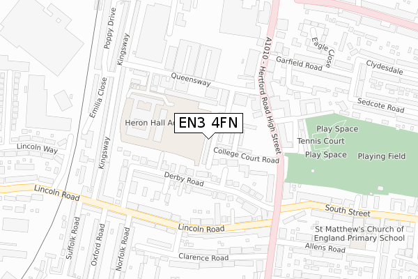
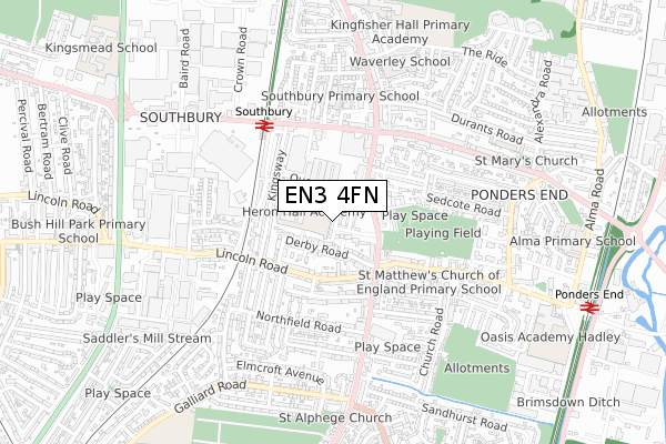
EN3 4FN is located in the Ponders End electoral ward, within the London borough of Enfield and the English Parliamentary constituency of Edmonton. The Sub Integrated Care Board (ICB) Location is NHS North Central London ICB - 93C and the police force is Metropolitan Police. This postcode has been in use since January 2018.


GetTheData
Source: OS Open Zoomstack (Ordnance Survey)
Licence: Open Government Licence (requires attribution)
Attribution: Contains OS data © Crown copyright and database right 2024
Source: Open Postcode Geo
Licence: Open Government Licence (requires attribution)
Attribution: Contains OS data © Crown copyright and database right 2024; Contains Royal Mail data © Royal Mail copyright and database right 2024; Source: Office for National Statistics licensed under the Open Government Licence v.3.0
| Easting | 535098 |
| Northing | 195874 |
| Latitude | 51.645445 |
| Longitude | -0.048821 |
GetTheData
Source: Open Postcode Geo
Licence: Open Government Licence
| Country | England |
| Postcode District | EN3 |
➜ See where EN3 is on a map ➜ Where is London? | |
GetTheData
Source: Land Registry Price Paid Data
Licence: Open Government Licence
| Ward | Ponders End |
| Constituency | Edmonton |
GetTheData
Source: ONS Postcode Database
Licence: Open Government Licence
| Ponders End Park (Ponders End High Street) | Ponders End | 149m |
| Ponders End Park | Ponders End | 193m |
| Lincoln Road Ponders End | Ponders End | 213m |
| Lincoln Road Ponders End | Ponders End | 231m |
| Suffolk Road Enfield | Enfield | 243m |
| Southbury Station | 0.4km |
| Ponders End Station | 1km |
| Bush Hill Park Station | 1.5km |
GetTheData
Source: NaPTAN
Licence: Open Government Licence
| Percentage of properties with Next Generation Access | 100.0% |
| Percentage of properties with Superfast Broadband | 100.0% |
| Percentage of properties with Ultrafast Broadband | 100.0% |
| Percentage of properties with Full Fibre Broadband | 0.0% |
Superfast Broadband is between 30Mbps and 300Mbps
Ultrafast Broadband is > 300Mbps
| Median download speed | 100.0Mbps |
| Average download speed | 140.5Mbps |
| Maximum download speed | 350.00Mbps |
| Median upload speed | 1.1Mbps |
| Average upload speed | 1.1Mbps |
| Maximum upload speed | 1.13Mbps |
| Percentage of properties unable to receive 2Mbps | 0.0% |
| Percentage of properties unable to receive 5Mbps | 0.0% |
| Percentage of properties unable to receive 10Mbps | 0.0% |
| Percentage of properties unable to receive 30Mbps | 0.0% |
GetTheData
Source: Ofcom
Licence: Ofcom Terms of Use (requires attribution)
GetTheData
Source: ONS Postcode Database
Licence: Open Government Licence


➜ Get more ratings from the Food Standards Agency
GetTheData
Source: Food Standards Agency
Licence: FSA terms & conditions
| Last Collection | |||
|---|---|---|---|
| Location | Mon-Fri | Sat | Distance |
| Southbury Road | 17:30 | 12:00 | 357m |
| Northfield Road | 17:30 | 12:00 | 400m |
| Aberdare Road | 17:30 | 12:00 | 548m |
GetTheData
Source: Dracos
Licence: Creative Commons Attribution-ShareAlike
The below table lists the International Territorial Level (ITL) codes (formerly Nomenclature of Territorial Units for Statistics (NUTS) codes) and Local Administrative Units (LAU) codes for EN3 4FN:
| ITL 1 Code | Name |
|---|---|
| TLI | London |
| ITL 2 Code | Name |
| TLI5 | Outer London - East and North East |
| ITL 3 Code | Name |
| TLI54 | Enfield |
| LAU 1 Code | Name |
| E09000010 | Enfield |
GetTheData
Source: ONS Postcode Directory
Licence: Open Government Licence
The below table lists the Census Output Area (OA), Lower Layer Super Output Area (LSOA), and Middle Layer Super Output Area (MSOA) for EN3 4FN:
| Code | Name | |
|---|---|---|
| OA | E00007483 | |
| LSOA | E01001508 | Enfield 012E |
| MSOA | E02000288 | Enfield 012 |
GetTheData
Source: ONS Postcode Directory
Licence: Open Government Licence
| EN3 4AL | Loraine Close | 65m |
| EN3 4SB | Peerglow Estate | 113m |
| EN3 4AJ | Derby Road | 117m |
| EN3 4DB | Derby Road | 126m |
| EN3 4AW | Derby Road | 132m |
| EN3 4EY | High Street | 135m |
| EN3 4AN | Derby Road | 145m |
| EN3 4EZ | High Street | 145m |
| EN3 4SA | Queensway | 161m |
| EN3 4DZ | High Street | 178m |
GetTheData
Source: Open Postcode Geo; Land Registry Price Paid Data
Licence: Open Government Licence