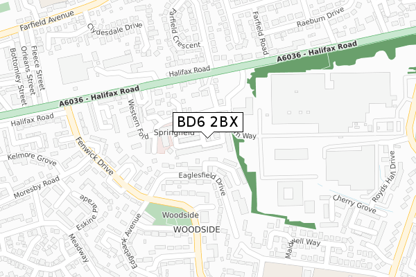
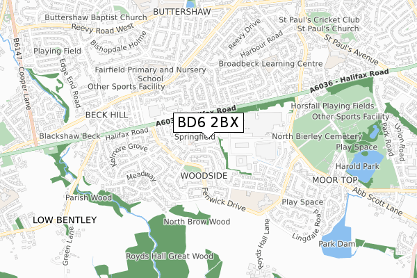
BD6 2BX is located in the Royds electoral ward, within the metropolitan district of Bradford and the English Parliamentary constituency of Bradford South. The Sub Integrated Care Board (ICB) Location is NHS West Yorkshire ICB - 36J and the police force is West Yorkshire. This postcode has been in use since January 2018.


GetTheData
Source: OS Open Zoomstack (Ordnance Survey)
Licence: Open Government Licence (requires attribution)
Attribution: Contains OS data © Crown copyright and database right 2024
Source: Open Postcode Geo
Licence: Open Government Licence (requires attribution)
Attribution: Contains OS data © Crown copyright and database right 2024; Contains Royal Mail data © Royal Mail copyright and database right 2024; Source: Office for National Statistics licensed under the Open Government Licence v.3.0
| Easting | 414002 |
| Northing | 429054 |
| Latitude | 53.757675 |
| Longitude | -1.789111 |
GetTheData
Source: Open Postcode Geo
Licence: Open Government Licence
| Country | England |
| Postcode District | BD6 |
➜ See where BD6 is on a map ➜ Where is Bradford? | |
GetTheData
Source: Land Registry Price Paid Data
Licence: Open Government Licence
| Ward | Royds |
| Constituency | Bradford South |
GetTheData
Source: ONS Postcode Database
Licence: Open Government Licence
| Halifax Road Farfield Grove (Halifax Road) | Woodside | 161m |
| Fenwick Drive Edgebank Ave (Fenwick Drive) | Woodside | 185m |
| Fenwick Drive Edgebank Ave (Fenwick Drive) | Woodside | 185m |
| Halifax Rd Western Way (Halifax Road) | Woodside | 187m |
| Fenwick Drive Collinfield Rise (Fenwick Drive) | Woodside | 234m |
| Low Moor Station | 2.5km |
| Bradford Interchange Station | 4.5km |
| Bradford Forster Square Station | 5km |
GetTheData
Source: NaPTAN
Licence: Open Government Licence
| Percentage of properties with Next Generation Access | 97.1% |
| Percentage of properties with Superfast Broadband | 97.1% |
| Percentage of properties with Ultrafast Broadband | 97.1% |
| Percentage of properties with Full Fibre Broadband | 0.0% |
Superfast Broadband is between 30Mbps and 300Mbps
Ultrafast Broadband is > 300Mbps
| Percentage of properties unable to receive 2Mbps | 0.0% |
| Percentage of properties unable to receive 5Mbps | 0.0% |
| Percentage of properties unable to receive 10Mbps | 0.0% |
| Percentage of properties unable to receive 30Mbps | 0.0% |
GetTheData
Source: Ofcom
Licence: Ofcom Terms of Use (requires attribution)
GetTheData
Source: ONS Postcode Database
Licence: Open Government Licence


➜ Get more ratings from the Food Standards Agency
GetTheData
Source: Food Standards Agency
Licence: FSA terms & conditions
| Last Collection | |||
|---|---|---|---|
| Location | Mon-Fri | Sat | Distance |
| Buttershaw P.o. Box | 17:15 | 11:45 | 408m |
| 1 Cemetery Road | 17:15 | 12:45 | 787m |
| 39 Shelf Moor Road | 17:15 | 11:00 | 871m |
GetTheData
Source: Dracos
Licence: Creative Commons Attribution-ShareAlike
The below table lists the International Territorial Level (ITL) codes (formerly Nomenclature of Territorial Units for Statistics (NUTS) codes) and Local Administrative Units (LAU) codes for BD6 2BX:
| ITL 1 Code | Name |
|---|---|
| TLE | Yorkshire and The Humber |
| ITL 2 Code | Name |
| TLE4 | West Yorkshire |
| ITL 3 Code | Name |
| TLE41 | Bradford |
| LAU 1 Code | Name |
| E08000032 | Bradford |
GetTheData
Source: ONS Postcode Directory
Licence: Open Government Licence
The below table lists the Census Output Area (OA), Lower Layer Super Output Area (LSOA), and Middle Layer Super Output Area (MSOA) for BD6 2BX:
| Code | Name | |
|---|---|---|
| OA | E00054758 | |
| LSOA | E01010874 | Bradford 059H |
| MSOA | E02002241 | Bradford 059 |
GetTheData
Source: ONS Postcode Directory
Licence: Open Government Licence
| BD6 2UB | Western Way | 55m |
| BD6 2TU | Wellington Court | 76m |
| BD6 2QJ | Eaglesfield Drive | 107m |
| BD6 2UD | Western Way | 110m |
| BD6 2RZ | Fenwick Drive | 132m |
| BD6 2UE | Buttermead Close | 134m |
| BD6 2BZ | Western Close | 135m |
| BD6 2TR | Sunshine Court | 137m |
| BD6 2UG | Wellgarth | 139m |
| BD6 2DH | Rose Lynn Terrace | 141m |
GetTheData
Source: Open Postcode Geo; Land Registry Price Paid Data
Licence: Open Government Licence