Where is Wigshaw?
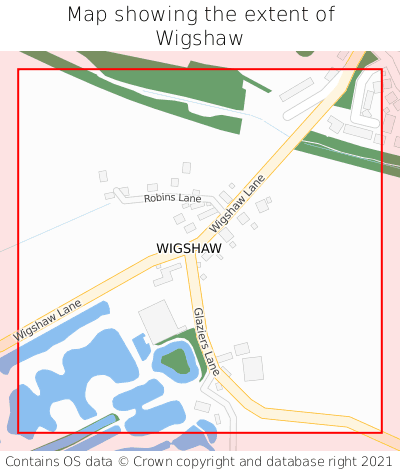
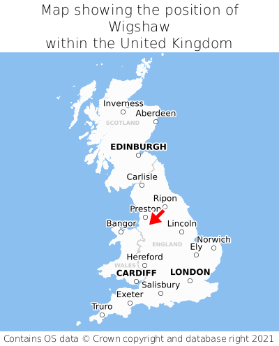
Wigshaw is located in the county of Cheshire, North West England, three miles south-east of the town of Golborne, five miles north-east of the major town of Warrington, 139 miles north of Cardiff, and 168 miles north-west of London. Wigshaw lies roughly one mile south-west of the Greater Manchester border, and was historically in the county of Lancashire. Wigshaw falls within the unitary authority of Warrington. It is in the WA3 postcode district. The post town for Wigshaw is Warrington.
Wigshaw on a map


Which county is Wigshaw in?
Wigshaw is in the ceremonial county of Cheshire, the historic county of Lancashire, and the administrative county of Warrington.
| Ceremonial County | Cheshire |
|---|---|
| Historic County | Lancashire |
| Administrative County | Warrington |
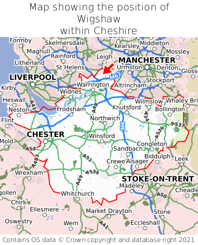
Where is Wigshaw in Cheshire?
Wigshaw is situated towards the northernmost extremity of Cheshire, and roughly centrally between the easternmost and westernmost extremities of Cheshire.

What is the postcode for Wigshaw?
The nearest postcode to the centre of Wigshaw is WA3 4AD.
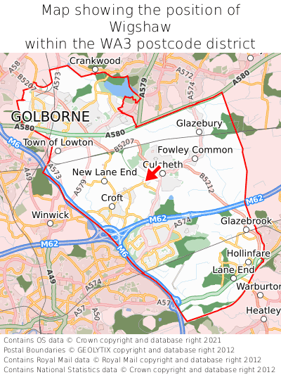
Where is Wigshaw in WA3?
Wigshaw is situated roughly centrally between the southernmost and northernmost extremities of the WA3 postcode district, and roughly centrally between the easternmost and westernmost extremities of the WA3 postcode district.

What is the post town for Wigshaw?
The post town for Wigshaw is Warrington. Wigshaw is in the WA3 postcode district, which corresponds to the post town of Warrington.
What is the latitude and longitude of Wigshaw?
The centre of Wigshaw is located at position 53.44844° latitude and -2.53204° longitude.
| Latitude | 53.44844° |
|---|---|
| Longitude | -2.53204° |
What is the easting and northing of Wigshaw?
The centre of Wigshaw is located at the grid reference easting 364762 and northing 394762 within the British National Grid (OSGB36) system.
| Easting | 364762 |
|---|---|
| Northing | 394762 |
What are the nearest towns to Wigshaw?
Position of Wigshaw relative to nearby towns. Distance is measured from the centre of Wigshaw to the centre of the town.
What are the nearest cities to Wigshaw?
Position of Wigshaw relative to nearby cities. Distance is measured from the centre of Wigshaw to the centre of the city.