York St John University (Hull Road) (Closed)
York St John University (Hull Road) (Closed) is located in York (YO10).
| Address | Hull Road, York, YO10 3JX |
| Car Park | Yes |
| Car Park Capacity | 45 |
| Management Type | School/College/University (in house) |
| Management Group | Education |
| Owner Type | Higher Education Institutions |
| Owner Group | Education |
| Education Phase | Not applicable |
| Closure Date | 1st Jan 2018 |
| Closure Reason | Strategic Review - facility/site to be replaced at another site |
Facilities
| Closure Date | 1st Jan 2018 |
| Closure Reason | Strategic Review - facility/site to be replaced at another site |
| Accessibility | Sports Club / Community Association |
| Management Type | School/College/University (in house) |
| Changing Rooms | Yes |
| Year Changing Rooms Refurbished | 2008 |
| Date Record Checked | 5th Apr 2018 |
Opening times
| Access description | Private Use |
|---|
| Opening time | 09:00 |
| Closing time | 17:00 |
| Period open for | Monday-Friday |
| |
| Access description | Sports Club / Community Association |
|---|
| Opening time | 09:00 |
| Closing time | 17:00 |
| Period open for | Weekend |
Facility specifics
Disabled access
| Disabled Access | Yes |
| Disabled Parking | Yes |
| Finding/Reaching Entrance | Yes |
| Doorways | Yes |
| Disabled Changing Facilities | Yes |
| Activity Areas | Yes |
| Disabled Toilets | Yes |
| Spectator Areas | Yes |
| Emergency Exits | Yes |
Contact
Disabled access
Disabled access for York St John University (Hull Road) (Closed)
| Disabled Access | Yes |
| Disabled Parking | Yes |
| Finding/Reaching Entrance | Yes |
| Doorways | Yes |
| Disabled Changing Facilities | Yes |
| Activity Areas | Yes |
| Disabled Toilets | Yes |
| Spectator Areas | Yes |
| Emergency Exits | Yes |
Where is York St John University (Hull Road) (Closed)?
| Sub Building Name | |
| Building Name | |
| Building Number | 0 |
| Dependent Thoroughfare | |
| Thoroughfare Name | Hull Road |
| Double Dependent Locality | |
| Dependent Locality | |
| PostTown | York |
| Postcode | YO10 3JX |
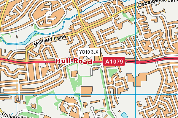
York St John University (Hull Road) (Closed) on a map

York St John University (Hull Road) (Closed) geodata
| Easting | 462674 |
| Northing | 451228 |
| Latitude | 53.95336 |
| Longitude | -1.046438 |
| Local Authority Name | York |
| Local Authority Code | E06000014 |
| Parliamentary Constituency Name | York Central |
| Parliamentary Constituency Code | E14001061 |
| Region Name | Yorkshire and the Humber |
| Region Code | E15000003 |
| Ward Name | Hull Road |
| Ward Code | E05010323 |
| Output Area Code | E00067651 |
About this data
This data is open data sourced from Active Places Power and licenced under the Active Places Open Data Licence.
| Created On | 28th Sep 2005 |
| Audited On | 15th Aug 2016 |
| Checked On | 29th Mar 2018 |
