Warwick School For Boys (Closed) - Walthamstow
Warwick School For Boys (Closed) is located in Walthamstow, London (E17).
| Address | Barrett Road, Walthamstow, London, E17 3ND |
| Car Park | Yes |
| Car Park Capacity | 50 |
| Management Type | School/College/University (in house) |
| Management Group | Education |
| Owner Type | Community school |
| Owner Group | Education |
| Education Phase | Secondary |
| Closure Date | 1st Jul 2008 |
| Closure Reason | Unclassified |
Facilities
| Closure Date | 1st Jul 2008 |
| Closure Reason | Unclassified |
| Accessibility | Sports Club / Community Association |
| Management Type | Not Known |
| Changing Rooms | Yes |
| Date Record Checked | 28th Apr 2009 |
| Opening Times | Detailed Timings |
Facility specifics
| Area | 240m² |
| Floor Matting | Don't Know |
| Gymnastics Trampoline Use | Don't Know |
| Length | 20m |
| Moveable Balance Apparatus | Don't Know |
| Moveable Large Apparatus | Don't Know |
| Moveable Rebound Apparatus | Don't Know |
| Moveable Trampolines | Don't Know |
| Width | 12m |
| Small Apparatus | Don't Know |
| Swinging and Hanging Apparatus | Don't Know |
Contact
Where is Warwick School For Boys (Closed)?
| Sub Building Name | |
| Building Name | |
| Building Number | 0 |
| Dependent Thoroughfare | |
| Thoroughfare Name | Barrett Road |
| Double Dependent Locality | |
| Dependent Locality | Walthamstow |
| PostTown | London |
| Postcode | E17 3ND |
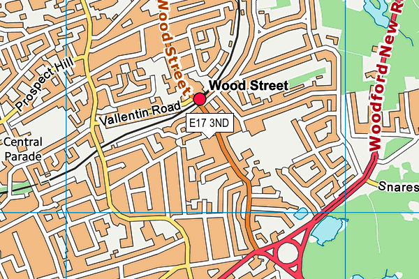
Warwick School For Boys (Closed) on a map

Warwick School For Boys (Closed) geodata
| Easting | 538490 |
| Northing | 189249 |
| Latitude | 51.585087 |
| Longitude | -0.002471 |
| Local Authority Name | Waltham Forest |
| Local Authority Code | E09000031 |
| Parliamentary Constituency Name | Walthamstow |
| Parliamentary Constituency Code | E14001013 |
| Region Name | London |
| Region Code | E15000007 |
| Ward Name | Wood Street |
| Ward Code | E05013903 |
| Output Area Code | E00022476 |
About this data
This data is open data sourced from Active Places Power and licenced under the Active Places Open Data Licence.
| Created On | 5th Jul 2004 |
| Audited On | 26th Jan 2015 |
| Checked On | 28th Apr 2009 |
