The Sladen C.e. Middle School (Closed) - Kidderminster
The Sladen C.e. Middle School (Closed) is located in Kidderminster (DY10).
| Address | Hurcott Road, Kidderminster, DY10 2QJ |
| Car Park | Yes |
| Car Park Capacity | 40 |
| Management Type | School/College/University (in house) |
| Management Group | Education |
| Owner Type | Voluntary Aided School |
| Owner Group | Education |
| Education Phase | Middle deemed Secondary |
| Closure Date | 31st Aug 2007 |
| Closure Reason | Unclassified |
Facilities
| Closure Date | 31st Aug 2007 |
| Closure Reason | Unclassified |
| Accessibility | Private Use |
| Management Type | Not Known |
| Year Built | 1939 |
| Changing Rooms | Yes |
| Date Record Checked | 1st Oct 2009 |
| Opening Times | Detailed Timings |
Facility specifics
Contact
| Contact Type | Enquiries |
| Email | [email protected] |
| Telephone | 01562 822351 |
8192:str_replace(): Passing null to parameter #3 ($subject) of type array|string is deprecated
Where is The Sladen C.e. Middle School (Closed)?
| Sub Building Name | |
| Building Name | |
| Building Number | 0 |
| Dependent Thoroughfare | |
| Thoroughfare Name | Hurcott Road |
| Double Dependent Locality | |
| Dependent Locality | |
| PostTown | Kidderminster |
| Postcode | DY10 2QJ |
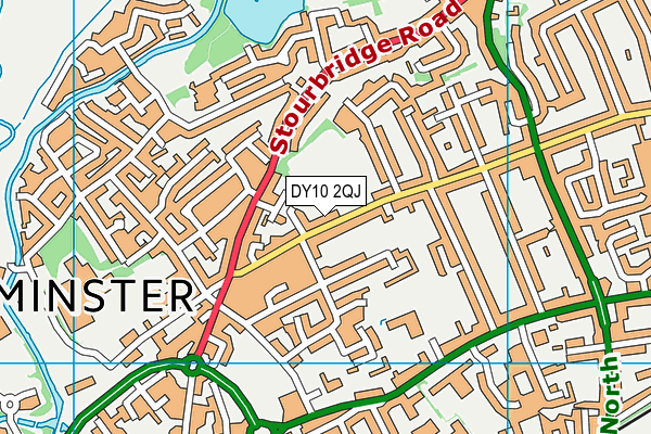
The Sladen C.e. Middle School (Closed) on a map

The Sladen C.e. Middle School (Closed) geodata
| Easting | 383662 |
| Northing | 277421 |
| Latitude | 52.394562 |
| Longitude | -2.241523 |
| Local Authority Name | Wyre Forest |
| Local Authority Code | E07000239 |
| Parliamentary Constituency Name | Wyre Forest |
| Parliamentary Constituency Code | E14001058 |
| Region Name | West Midlands |
| Region Code | E15000005 |
| Ward Name | Broadwaters |
| Ward Code | E05010506 |
| Output Area Code | E00165441 |
About this data
This data is open data sourced from Active Places Power and licenced under the Active Places Open Data Licence.
| Created On | 14th Oct 2006 |
| Audited On | 26th Jan 2015 |
| Checked On | 1st Oct 2009 |
