Croxteth Primary School (Closed) - Liverpool
Croxteth Primary School (Closed) is located in Liverpool (L11).
| Address | Moss Way, Liverpool, L11 0BP |
| Car Park | Yes |
| Car Park Capacity | 20 |
| Management Type | School/College/University (in house) |
| Management Group | Education |
| Owner Type | Community school |
| Owner Group | Education |
| Education Phase | Primary |
| Closure Date | 31st Dec 2011 |
| Closure Reason | Unclassified |
Facilities
| Closure Date | 31st Dec 2011 |
| Closure Reason | Unclassified |
| Accessibility | Private Use |
| Management Type | Not Known |
| Date Record Checked | 9th Jan 2012 |
| Opening Times | Detailed Timings |
Facility specifics
Contact
Where is Croxteth Primary School (Closed)?
| Sub Building Name | |
| Building Name | |
| Building Number | 0 |
| Dependent Thoroughfare | |
| Thoroughfare Name | Moss Way |
| Double Dependent Locality | |
| Dependent Locality | |
| PostTown | Liverpool |
| Postcode | L11 0BP |
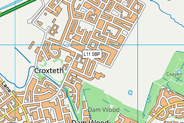
Croxteth Primary School (Closed) on a map

Croxteth Primary School (Closed) geodata
| Easting | 340703 |
| Northing | 395803 |
| Latitude | 53.455627 |
| Longitude | -2.894455 |
| Local Authority Name | Liverpool |
| Local Authority Code | E08000012 |
| Parliamentary Constituency Name | Liverpool, West Derby |
| Parliamentary Constituency Code | E14000796 |
| Region Name | North West |
| Region Code | E15000002 |
| Ward Name | Croxteth |
| Ward Code | E05000895 |
| Output Area Code | E00033749 |
About this data
This data is open data sourced from Active Places Power and licenced under the Active Places Open Data Licence.
| Created On | 28th Sep 2005 |
| Audited On | 26th Jan 2015 |
| Checked On | 9th Jan 2012 |
