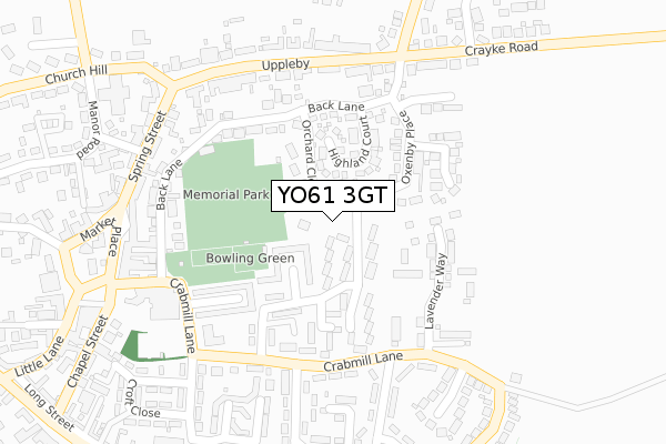
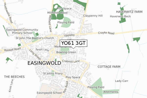
YO61 3GT is located in the Easingwold electoral ward, within the unitary authority of North Yorkshire and the English Parliamentary constituency of Thirsk and Malton. The Sub Integrated Care Board (ICB) Location is NHS Humber and North Yorkshire ICB - 03Q and the police force is North Yorkshire. This postcode has been in use since August 2018.


GetTheData
Source: OS Open Zoomstack (Ordnance Survey)
Licence: Open Government Licence (requires attribution)
Attribution: Contains OS data © Crown copyright and database right 2025
Source: Open Postcode Geo
Licence: Open Government Licence (requires attribution)
Attribution: Contains OS data © Crown copyright and database right 2025; Contains Royal Mail data © Royal Mail copyright and database right 2025; Source: Office for National Statistics licensed under the Open Government Licence v.3.0
| Easting | 453274 |
| Northing | 469911 |
| Latitude | 54.122325 |
| Longitude | -1.186400 |
GetTheData
Source: Open Postcode Geo
Licence: Open Government Licence
| Country | England |
| Postcode District | YO61 |
➜ See where YO61 is on a map ➜ Where is Easingwold? | |
GetTheData
Source: Land Registry Price Paid Data
Licence: Open Government Licence
| Ward | Easingwold |
| Constituency | Thirsk And Malton |
GetTheData
Source: ONS Postcode Database
Licence: Open Government Licence
26, SNOWDROP CLOSE, EASINGWOLD, YORK, YO61 3GT 2021 26 FEB £225,000 |
3, SNOWDROP CLOSE, EASINGWOLD, YORK, YO61 3GT 2021 29 JAN £252,500 |
5, SNOWDROP CLOSE, EASINGWOLD, YORK, YO61 3GT 2021 29 JAN £275,500 |
1, SNOWDROP CLOSE, EASINGWOLD, YORK, YO61 3GT 2021 29 JAN £325,000 |
18, SNOWDROP CLOSE, EASINGWOLD, YORK, YO61 3GT 2020 18 DEC £310,000 |
8, SNOWDROP CLOSE, EASINGWOLD, YORK, YO61 3GT 2020 11 DEC £255,000 |
GetTheData
Source: HM Land Registry Price Paid Data
Licence: Contains HM Land Registry data © Crown copyright and database right 2025. This data is licensed under the Open Government Licence v3.0.
| Opp Oulston Crossroads (Mill Lane) | Easingwold | 232m |
| Oulston Crossroads (Mill Lane) | Easingwold | 243m |
| Paradise Field Estate (Crabmill Lane) | Easingwold | 254m |
| Paradise Field Estate (Crabmill Lane) | Easingwold | 263m |
| The George Hotel (Market Place) | Easingwold | 375m |
GetTheData
Source: NaPTAN
Licence: Open Government Licence
GetTheData
Source: ONS Postcode Database
Licence: Open Government Licence


➜ Get more ratings from the Food Standards Agency
GetTheData
Source: Food Standards Agency
Licence: FSA terms & conditions
| Last Collection | |||
|---|---|---|---|
| Location | Mon-Fri | Sat | Distance |
| Galtres Drive Easingwold | 17:45 | 09:45 | 240m |
| Cross Roads Uppleby | 17:40 | 09:45 | 252m |
| Easingwold Post Office Right 2nd Aperture Stamped | 17:00 | 12:15 | 408m |
GetTheData
Source: Dracos
Licence: Creative Commons Attribution-ShareAlike
The below table lists the International Territorial Level (ITL) codes (formerly Nomenclature of Territorial Units for Statistics (NUTS) codes) and Local Administrative Units (LAU) codes for YO61 3GT:
| ITL 1 Code | Name |
|---|---|
| TLE | Yorkshire and The Humber |
| ITL 2 Code | Name |
| TLE2 | North Yorkshire |
| ITL 3 Code | Name |
| TLE22 | North Yorkshire CC |
| LAU 1 Code | Name |
| E07000164 | Hambleton |
GetTheData
Source: ONS Postcode Directory
Licence: Open Government Licence
The below table lists the Census Output Area (OA), Lower Layer Super Output Area (LSOA), and Middle Layer Super Output Area (MSOA) for YO61 3GT:
| Code | Name | |
|---|---|---|
| OA | E00140497 | |
| LSOA | E01027594 | Hambleton 010A |
| MSOA | E02005759 | Hambleton 010 |
GetTheData
Source: ONS Postcode Directory
Licence: Open Government Licence
| YO61 3BY | Hopwith Close | 76m |
| YO61 3QL | Highland Court | 83m |
| YO61 3FD | Orchard Close | 87m |
| YO61 3JN | Oxenby Place | 92m |
| YO61 3BZ | Kellbalk Lane | 106m |
| YO61 3QJ | Craykefields | 151m |
| YO61 3BT | Paradise Field | 171m |
| YO61 3BG | Back Lane | 181m |
| YO61 3BS | Paddock Rise | 201m |
| YO61 3BX | Crabmill Close | 204m |
GetTheData
Source: Open Postcode Geo; Land Registry Price Paid Data
Licence: Open Government Licence