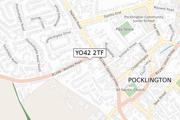
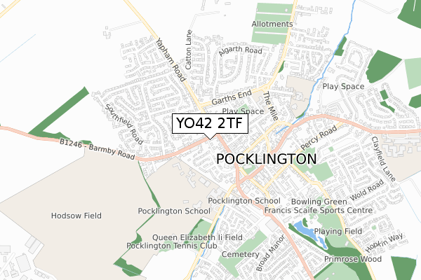
YO42 2TF is located in the Pocklington Provincial electoral ward, within the unitary authority of East Riding of Yorkshire and the English Parliamentary constituency of East Yorkshire. The Sub Integrated Care Board (ICB) Location is NHS Humber and North Yorkshire ICB - 03Q and the police force is Humberside. This postcode has been in use since October 2019.


GetTheData
Source: OS Open Zoomstack (Ordnance Survey)
Licence: Open Government Licence (requires attribution)
Attribution: Contains OS data © Crown copyright and database right 2025
Source: Open Postcode Geo
Licence: Open Government Licence (requires attribution)
Attribution: Contains OS data © Crown copyright and database right 2025; Contains Royal Mail data © Royal Mail copyright and database right 2025; Source: Office for National Statistics licensed under the Open Government Licence v.3.0
| Easting | 480014 |
| Northing | 449137 |
| Latitude | 53.932203 |
| Longitude | -0.782818 |
GetTheData
Source: Open Postcode Geo
Licence: Open Government Licence
| Country | England |
| Postcode District | YO42 |
➜ See where YO42 is on a map ➜ Where is Pocklington? | |
GetTheData
Source: Land Registry Price Paid Data
Licence: Open Government Licence
| Ward | Pocklington Provincial |
| Constituency | East Yorkshire |
GetTheData
Source: ONS Postcode Database
Licence: Open Government Licence
| Pocklington George Street (George Street) | Pocklington | 89m |
| Pocklington Yapham Road (Yapham Road) | Pocklington | 135m |
| Pocklington Barmby Road (Barmby Road) | Pocklington | 145m |
| Pocklington Barmby Road (Barmby Road) | Pocklington | 148m |
| Pocklington George Street (George Street) | Pocklington | 153m |
GetTheData
Source: NaPTAN
Licence: Open Government Licence
GetTheData
Source: ONS Postcode Database
Licence: Open Government Licence


➜ Get more ratings from the Food Standards Agency
GetTheData
Source: Food Standards Agency
Licence: FSA terms & conditions
| Last Collection | |||
|---|---|---|---|
| Location | Mon-Fri | Sat | Distance |
| George Street Pocklington | 17:00 | 11:00 | 78m |
| Railway Street (Right) Franked | 17:30 | 11:45 | 314m |
| Railway Street Pocklington | 18:25 | 12:00 | 314m |
GetTheData
Source: Dracos
Licence: Creative Commons Attribution-ShareAlike
The below table lists the International Territorial Level (ITL) codes (formerly Nomenclature of Territorial Units for Statistics (NUTS) codes) and Local Administrative Units (LAU) codes for YO42 2TF:
| ITL 1 Code | Name |
|---|---|
| TLE | Yorkshire and The Humber |
| ITL 2 Code | Name |
| TLE1 | East Yorkshire and Northern Lincolnshire |
| ITL 3 Code | Name |
| TLE12 | East Riding of Yorkshire |
| LAU 1 Code | Name |
| E06000011 | East Riding of Yorkshire |
GetTheData
Source: ONS Postcode Directory
Licence: Open Government Licence
The below table lists the Census Output Area (OA), Lower Layer Super Output Area (LSOA), and Middle Layer Super Output Area (MSOA) for YO42 2TF:
| Code | Name | |
|---|---|---|
| OA | E00065864 | |
| LSOA | E01013058 | East Riding of Yorkshire 011F |
| MSOA | E02002694 | East Riding of Yorkshire 011 |
GetTheData
Source: ONS Postcode Directory
Licence: Open Government Licence
| YO42 2QX | Tayleure Terrace | 50m |
| YO42 2DH | George Street | 56m |
| YO42 2DA | Penny Court | 63m |
| YO42 2DQ | George Street | 65m |
| YO42 2DJ | Archibald Close | 90m |
| YO42 2DP | Barmby Road | 96m |
| YO42 2DT | Yapham Road | 103m |
| YO42 2DL | Barmby Road | 105m |
| YO42 2DR | Summerson Terrace | 110m |
| YO42 2RD | Scaife Garth | 121m |
GetTheData
Source: Open Postcode Geo; Land Registry Price Paid Data
Licence: Open Government Licence