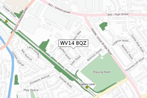
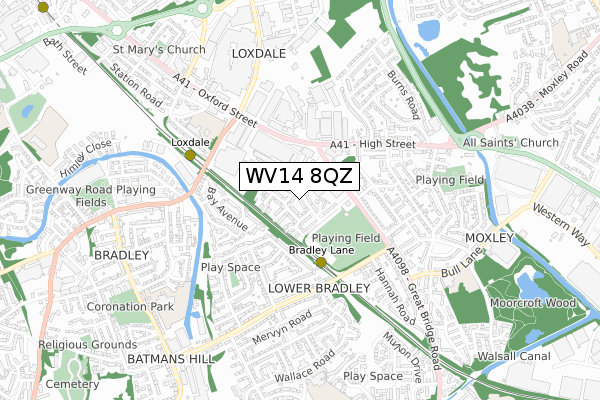
WV14 8QZ is located in the Darlaston South electoral ward, within the metropolitan district of Walsall and the English Parliamentary constituency of Walsall South. The Sub Integrated Care Board (ICB) Location is NHS Black Country ICB - D2P2L and the police force is West Midlands. This postcode has been in use since October 2019.


GetTheData
Source: OS Open Zoomstack (Ordnance Survey)
Licence: Open Government Licence (requires attribution)
Attribution: Contains OS data © Crown copyright and database right 2025
Source: Open Postcode Geo
Licence: Open Government Licence (requires attribution)
Attribution: Contains OS data © Crown copyright and database right 2025; Contains Royal Mail data © Royal Mail copyright and database right 2025; Source: Office for National Statistics licensed under the Open Government Licence v.3.0
| Easting | 396589 |
| Northing | 295325 |
| Latitude | 52.555769 |
| Longitude | -2.051737 |
GetTheData
Source: Open Postcode Geo
Licence: Open Government Licence
| Country | England |
| Postcode District | WV14 |
➜ See where WV14 is on a map ➜ Where is Bilston? | |
GetTheData
Source: Land Registry Price Paid Data
Licence: Open Government Licence
| Ward | Darlaston South |
| Constituency | Walsall South |
GetTheData
Source: ONS Postcode Database
Licence: Open Government Licence
| Dorothy Purcell School (Bull Lane) | Moxley | 65m |
| Bull Lane (Great Bridge Rd) | Moxley | 85m |
| Ashtree Grove (Charnwood Cl) | Moxley | 153m |
| Hannah Rd (Bradley Lane) | Loxdale | 188m |
| Bradley Lane (Great Bridge Rd) | Loxdale | 212m |
| Bradley Lane (Midland Metro Stop) (Bradley Lane) | Lower Bradley | 377m |
| Loxdale (Midland Metro Stop) (Loxdale St) | Bradley | 1,037m |
| Wednesbury Parkway (Midland Metro Stop) (Leabrook Rd) | Wednesbury | 1,594m |
| Coseley Station | 2.6km |
| Tipton Station | 3km |
| Dudley Port Station | 3.5km |
GetTheData
Source: NaPTAN
Licence: Open Government Licence
GetTheData
Source: ONS Postcode Database
Licence: Open Government Licence


➜ Get more ratings from the Food Standards Agency
GetTheData
Source: Food Standards Agency
Licence: FSA terms & conditions
| Last Collection | |||
|---|---|---|---|
| Location | Mon-Fri | Sat | Distance |
| Moat Road | 17:30 | 11:00 | 999m |
| Dangerfield Lane | 15:30 | 12:00 | 1,859m |
| Foxyards | 17:30 | 11:00 | 1,917m |
GetTheData
Source: Dracos
Licence: Creative Commons Attribution-ShareAlike
The below table lists the International Territorial Level (ITL) codes (formerly Nomenclature of Territorial Units for Statistics (NUTS) codes) and Local Administrative Units (LAU) codes for WV14 8QZ:
| ITL 1 Code | Name |
|---|---|
| TLG | West Midlands (England) |
| ITL 2 Code | Name |
| TLG3 | West Midlands |
| ITL 3 Code | Name |
| TLG38 | Walsall |
| LAU 1 Code | Name |
| E08000030 | Walsall |
GetTheData
Source: ONS Postcode Directory
Licence: Open Government Licence
The below table lists the Census Output Area (OA), Lower Layer Super Output Area (LSOA), and Middle Layer Super Output Area (MSOA) for WV14 8QZ:
| Code | Name | |
|---|---|---|
| OA | E00052108 | |
| LSOA | E01010315 | Walsall 038E |
| MSOA | E02002147 | Walsall 038 |
GetTheData
Source: ONS Postcode Directory
Licence: Open Government Licence
| WV14 8NB | Charnwood Close | 59m |
| WV14 8LX | Ashtree Grove | 99m |
| WV14 8NG | Great Bridge Road | 117m |
| WV14 8LY | Ashtree Grove | 117m |
| WV14 8NA | Charnwood Close | 131m |
| WV14 8NQ | Great Bridge Road | 133m |
| WV14 8NE | Bull Lane | 133m |
| WV14 8ET | Hannah Road | 139m |
| WV14 8NL | Glyn Avenue | 162m |
| WV14 8LZ | Charnwood Close | 186m |
GetTheData
Source: Open Postcode Geo; Land Registry Price Paid Data
Licence: Open Government Licence