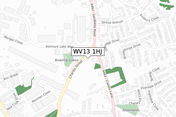
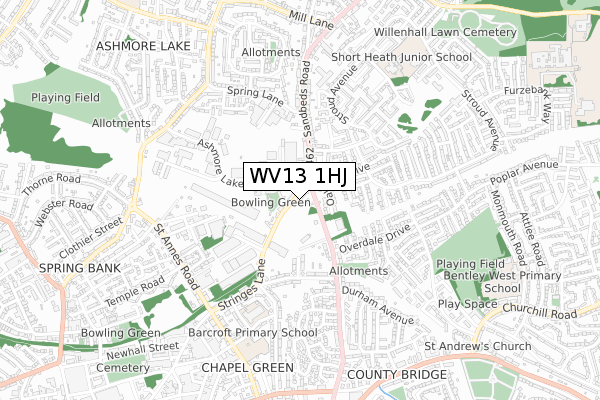
WV13 1HJ is located in the Short Heath electoral ward, within the metropolitan district of Walsall and the English Parliamentary constituency of Walsall North. The Sub Integrated Care Board (ICB) Location is NHS Black Country ICB - D2P2L and the police force is West Midlands. This postcode has been in use since January 2020.


GetTheData
Source: OS Open Zoomstack (Ordnance Survey)
Licence: Open Government Licence (requires attribution)
Attribution: Contains OS data © Crown copyright and database right 2025
Source: Open Postcode Geo
Licence: Open Government Licence (requires attribution)
Attribution: Contains OS data © Crown copyright and database right 2025; Contains Royal Mail data © Royal Mail copyright and database right 2025; Source: Office for National Statistics licensed under the Open Government Licence v.3.0
| Easting | 397252 |
| Northing | 299475 |
| Latitude | 52.593081 |
| Longitude | -2.041993 |
GetTheData
Source: Open Postcode Geo
Licence: Open Government Licence
| Country | England |
| Postcode District | WV13 |
➜ See where WV13 is on a map ➜ Where is Willenhall? | |
GetTheData
Source: Land Registry Price Paid Data
Licence: Open Government Licence
| Ward | Short Heath |
| Constituency | Walsall North |
GetTheData
Source: ONS Postcode Database
Licence: Open Government Licence
| Sandbeds Rd (Charles St) | Lodge Farm | 19m |
| Charles St (Clarke's Lane) | Lodge Farm | 53m |
| Charles St (Clarke's Lane) | Lodge Farm | 70m |
| Ashmore Lake Way (Sandbeds Rd) | Lodge Farm | 156m |
| Stringes Close (Charles St) | Spring Bank | 233m |
| Bloxwich Station | 3.5km |
| Bloxwich North Station | 4km |
| Walsall Station | 4km |
GetTheData
Source: NaPTAN
Licence: Open Government Licence
GetTheData
Source: ONS Postcode Database
Licence: Open Government Licence


➜ Get more ratings from the Food Standards Agency
GetTheData
Source: Food Standards Agency
Licence: FSA terms & conditions
| Last Collection | |||
|---|---|---|---|
| Location | Mon-Fri | Sat | Distance |
| Lucknow Road | 16:45 | 12:30 | 978m |
| Attlee Road | 17:15 | 12:00 | 993m |
| Morris Avenue | 17:15 | 12:00 | 1,087m |
GetTheData
Source: Dracos
Licence: Creative Commons Attribution-ShareAlike
| Risk of WV13 1HJ flooding from rivers and sea | Medium |
| ➜ WV13 1HJ flood map | |
GetTheData
Source: Open Flood Risk by Postcode
Licence: Open Government Licence
The below table lists the International Territorial Level (ITL) codes (formerly Nomenclature of Territorial Units for Statistics (NUTS) codes) and Local Administrative Units (LAU) codes for WV13 1HJ:
| ITL 1 Code | Name |
|---|---|
| TLG | West Midlands (England) |
| ITL 2 Code | Name |
| TLG3 | West Midlands |
| ITL 3 Code | Name |
| TLG38 | Walsall |
| LAU 1 Code | Name |
| E08000030 | Walsall |
GetTheData
Source: ONS Postcode Directory
Licence: Open Government Licence
The below table lists the Census Output Area (OA), Lower Layer Super Output Area (LSOA), and Middle Layer Super Output Area (MSOA) for WV13 1HJ:
| Code | Name | |
|---|---|---|
| OA | E00052434 | |
| LSOA | E01010376 | Walsall 020A |
| MSOA | E02002129 | Walsall 020 |
GetTheData
Source: ONS Postcode Directory
Licence: Open Government Licence
| WV13 1HG | Charles Street | 55m |
| WV12 4DL | Oakridge Drive | 103m |
| WV12 4DJ | Oakridge Drive | 142m |
| WV12 4ES | Edgeworth Close | 157m |
| WV12 4HH | Sandbeds Road | 188m |
| WV12 4TX | Brookthorpe Drive | 221m |
| WV13 1HH | Rainbow Business Park | 223m |
| WV12 4ER | Whitminster Close | 224m |
| WV13 1HT | Clarkes Lane | 242m |
| WV12 4EN | Oakridge Drive | 244m |
GetTheData
Source: Open Postcode Geo; Land Registry Price Paid Data
Licence: Open Government Licence