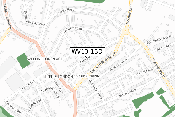
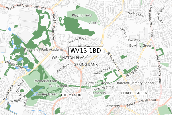
WV13 1BD is located in the Willenhall South electoral ward, within the metropolitan district of Walsall and the English Parliamentary constituency of Walsall North. The Sub Integrated Care Board (ICB) Location is NHS Black Country ICB - D2P2L and the police force is West Midlands. This postcode has been in use since December 2019.


GetTheData
Source: OS Open Zoomstack (Ordnance Survey)
Licence: Open Government Licence (requires attribution)
Attribution: Contains OS data © Crown copyright and database right 2025
Source: Open Postcode Geo
Licence: Open Government Licence (requires attribution)
Attribution: Contains OS data © Crown copyright and database right 2025; Contains Royal Mail data © Royal Mail copyright and database right 2025; Source: Office for National Statistics licensed under the Open Government Licence v.3.0
| Easting | 396644 |
| Northing | 299483 |
| Latitude | 52.593149 |
| Longitude | -2.050968 |
GetTheData
Source: Open Postcode Geo
Licence: Open Government Licence
| Country | England |
| Postcode District | WV13 |
➜ See where WV13 is on a map ➜ Where is Willenhall? | |
GetTheData
Source: Land Registry Price Paid Data
Licence: Open Government Licence
| Ward | Willenhall South |
| Constituency | Walsall North |
GetTheData
Source: ONS Postcode Database
Licence: Open Government Licence
| Bloxwich Road South (Monmer Lane) | Ashmore Lake | 96m |
| Clothier St (Bloxwich Road South) | Spring Bank | 184m |
| Clothier St (Bloxwich Road South) | Spring Bank | 187m |
| Cross Keys Inn (Ashmore Lake Rd) | Ashmore Lake | 259m |
| Cross Keys Inn (Ashmore Lake Rd) | Ashmore Lake | 264m |
| Bloxwich Station | 3.9km |
| Bloxwich North Station | 4.2km |
| Walsall Station | 4.6km |
GetTheData
Source: NaPTAN
Licence: Open Government Licence
GetTheData
Source: ONS Postcode Database
Licence: Open Government Licence


➜ Get more ratings from the Food Standards Agency
GetTheData
Source: Food Standards Agency
Licence: FSA terms & conditions
| Last Collection | |||
|---|---|---|---|
| Location | Mon-Fri | Sat | Distance |
| Lucknow Road | 16:45 | 12:30 | 971m |
| Willenhall Post Office | 18:30 | 12:30 | 1,012m |
| Stafford Street | 17:30 | 12:00 | 1,025m |
GetTheData
Source: Dracos
Licence: Creative Commons Attribution-ShareAlike
The below table lists the International Territorial Level (ITL) codes (formerly Nomenclature of Territorial Units for Statistics (NUTS) codes) and Local Administrative Units (LAU) codes for WV13 1BD:
| ITL 1 Code | Name |
|---|---|
| TLG | West Midlands (England) |
| ITL 2 Code | Name |
| TLG3 | West Midlands |
| ITL 3 Code | Name |
| TLG38 | Walsall |
| LAU 1 Code | Name |
| E08000030 | Walsall |
GetTheData
Source: ONS Postcode Directory
Licence: Open Government Licence
The below table lists the Census Output Area (OA), Lower Layer Super Output Area (LSOA), and Middle Layer Super Output Area (MSOA) for WV13 1BD:
| Code | Name | |
|---|---|---|
| OA | E00052560 | |
| LSOA | E01010408 | Walsall 025E |
| MSOA | E02002134 | Walsall 025 |
GetTheData
Source: ONS Postcode Directory
Licence: Open Government Licence
| WV13 1AU | Monmer Lane | 95m |
| WV13 1DT | St Annes Road | 103m |
| WV13 1AY | Bloxwich Road South | 138m |
| WV13 1BQ | Clothier Street | 203m |
| WV13 1AX | Bloxwich Road South | 207m |
| WV13 1BJ | Borrow Street | 211m |
| WV13 1EG | Stadium Close | 218m |
| WV13 1AT | Thorne Road | 220m |
| WV13 1BH | Webster Road | 254m |
| WV13 1EB | Circuit Close | 271m |
GetTheData
Source: Open Postcode Geo; Land Registry Price Paid Data
Licence: Open Government Licence