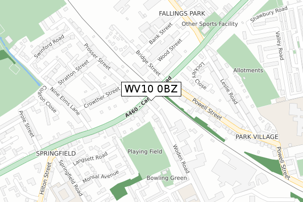
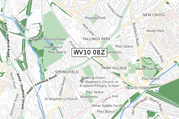
WV10 0BZ is located in the Heath Town electoral ward, within the metropolitan district of Wolverhampton and the English Parliamentary constituency of Wolverhampton North East. The Sub Integrated Care Board (ICB) Location is NHS Black Country ICB - D2P2L and the police force is West Midlands. This postcode has been in use since September 2018.


GetTheData
Source: OS Open Zoomstack (Ordnance Survey)
Licence: Open Government Licence (requires attribution)
Attribution: Contains OS data © Crown copyright and database right 2025
Source: Open Postcode Geo
Licence: Open Government Licence (requires attribution)
Attribution: Contains OS data © Crown copyright and database right 2025; Contains Royal Mail data © Royal Mail copyright and database right 2025; Source: Office for National Statistics licensed under the Open Government Licence v.3.0
| Easting | 392464 |
| Northing | 299904 |
| Latitude | 52.596891 |
| Longitude | -2.112683 |
GetTheData
Source: Open Postcode Geo
Licence: Open Government Licence
| Country | England |
| Postcode District | WV10 |
➜ See where WV10 is on a map ➜ Where is Wolverhampton? | |
GetTheData
Source: Land Registry Price Paid Data
Licence: Open Government Licence
| Ward | Heath Town |
| Constituency | Wolverhampton North East |
GetTheData
Source: ONS Postcode Database
Licence: Open Government Licence
| Railway Bridge (Cannock Rd) | Fallings Park | 41m |
| Railway Bridge (Cannock Rd) | Fallings Park | 47m |
| Leslie Rd (Park Lane) | Park Village | 279m |
| Leslie Rd (Park Lane) | Park Village | 284m |
| Nine Elms Lane (Cannock Rd) | Fallings Park | 308m |
| Wolverhampton St George's (Midland Metro Stop) (Bilston St) | Wolverhampton | 1,625m |
| Wolverhampton Station | 1.1km |
| Bilbrook Station | 5.8km |
GetTheData
Source: NaPTAN
Licence: Open Government Licence
GetTheData
Source: ONS Postcode Database
Licence: Open Government Licence


➜ Get more ratings from the Food Standards Agency
GetTheData
Source: Food Standards Agency
Licence: FSA terms & conditions
| Last Collection | |||
|---|---|---|---|
| Location | Mon-Fri | Sat | Distance |
| North Road | 18:45 | 12:30 | 377m |
| Raynor Road | 17:30 | 12:00 | 523m |
| University Of Wolverhampton | 16:15 | 683m | |
GetTheData
Source: Dracos
Licence: Creative Commons Attribution-ShareAlike
The below table lists the International Territorial Level (ITL) codes (formerly Nomenclature of Territorial Units for Statistics (NUTS) codes) and Local Administrative Units (LAU) codes for WV10 0BZ:
| ITL 1 Code | Name |
|---|---|
| TLG | West Midlands (England) |
| ITL 2 Code | Name |
| TLG3 | West Midlands |
| ITL 3 Code | Name |
| TLG39 | Wolverhampton |
| LAU 1 Code | Name |
| E08000031 | Wolverhampton |
GetTheData
Source: ONS Postcode Directory
Licence: Open Government Licence
The below table lists the Census Output Area (OA), Lower Layer Super Output Area (LSOA), and Middle Layer Super Output Area (MSOA) for WV10 0BZ:
| Code | Name | |
|---|---|---|
| OA | E00052872 | |
| LSOA | E01010471 | Wolverhampton 015A |
| MSOA | E02002163 | Wolverhampton 015 |
GetTheData
Source: ONS Postcode Directory
Licence: Open Government Licence
| WV10 0BG | Cannock Road | 30m |
| WV10 0AU | Woden Road | 114m |
| WV10 0AL | Cannock Road | 134m |
| WV10 9AG | Crowther Street | 156m |
| WV10 0BH | Cannock Road | 165m |
| WV10 9AS | Prosser Street | 176m |
| WV10 0BB | Woden Road | 176m |
| WV10 9AR | Prosser Street | 196m |
| WV10 9DX | Bridge Street | 202m |
| WV10 9AQ | Newport Street | 210m |
GetTheData
Source: Open Postcode Geo; Land Registry Price Paid Data
Licence: Open Government Licence