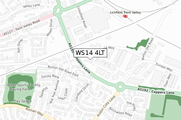
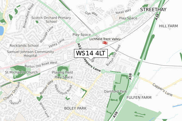
WS14 4LT is located in the Boley Park electoral ward, within the local authority district of Lichfield and the English Parliamentary constituency of Lichfield. The Sub Integrated Care Board (ICB) Location is NHS Staffordshire and Stoke-on-Trent ICB - 05Q and the police force is Staffordshire. This postcode has been in use since August 2019.


GetTheData
Source: OS Open Zoomstack (Ordnance Survey)
Licence: Open Government Licence (requires attribution)
Attribution: Contains OS data © Crown copyright and database right 2025
Source: Open Postcode Geo
Licence: Open Government Licence (requires attribution)
Attribution: Contains OS data © Crown copyright and database right 2025; Contains Royal Mail data © Royal Mail copyright and database right 2025; Source: Office for National Statistics licensed under the Open Government Licence v.3.0
| Easting | 413411 |
| Northing | 309696 |
| Latitude | 52.684810 |
| Longitude | -1.803042 |
GetTheData
Source: Open Postcode Geo
Licence: Open Government Licence
| Country | England |
| Postcode District | WS14 |
➜ See where WS14 is on a map ➜ Where is Lichfield? | |
GetTheData
Source: Land Registry Price Paid Data
Licence: Open Government Licence
| Ward | Boley Park |
| Constituency | Lichfield |
GetTheData
Source: ONS Postcode Database
Licence: Open Government Licence
| Europa Way (Cappers Lane) | Boley Park | 89m |
| Europa Way (Cappers Lane) | Boley Park | 141m |
| Trent Valley Road (Cappers Lane) | Trent Valley | 214m |
| Trent Valley Island (Cappers Lane) | Trent Valley | 246m |
| Cornfield Drive (Austin Cote Lane) | Boley Park | 277m |
| Lichfield Trent Valley High Level Station | 0.3km |
| Lichfield Trent Valley Station | 0.3km |
| Lichfield City Station | 1.6km |
GetTheData
Source: NaPTAN
Licence: Open Government Licence
GetTheData
Source: ONS Postcode Database
Licence: Open Government Licence


➜ Get more ratings from the Food Standards Agency
GetTheData
Source: Food Standards Agency
Licence: FSA terms & conditions
| Last Collection | |||
|---|---|---|---|
| Location | Mon-Fri | Sat | Distance |
| Lichfield Delivery Office | 18:15 | 12:30 | 8m |
| Enterprise | 247m | ||
| Crossfield Road | 18:00 | 11:00 | 283m |
GetTheData
Source: Dracos
Licence: Creative Commons Attribution-ShareAlike
The below table lists the International Territorial Level (ITL) codes (formerly Nomenclature of Territorial Units for Statistics (NUTS) codes) and Local Administrative Units (LAU) codes for WS14 4LT:
| ITL 1 Code | Name |
|---|---|
| TLG | West Midlands (England) |
| ITL 2 Code | Name |
| TLG2 | Shropshire and Staffordshire |
| ITL 3 Code | Name |
| TLG24 | Staffordshire CC |
| LAU 1 Code | Name |
| E07000194 | Lichfield |
GetTheData
Source: ONS Postcode Directory
Licence: Open Government Licence
The below table lists the Census Output Area (OA), Lower Layer Super Output Area (LSOA), and Middle Layer Super Output Area (MSOA) for WS14 4LT:
| Code | Name | |
|---|---|---|
| OA | E00150228 | |
| LSOA | E01029484 | Lichfield 005B |
| MSOA | E02006150 | Lichfield 005 |
GetTheData
Source: ONS Postcode Directory
Licence: Open Government Licence
| WS14 9NY | Livingstone Drive | 80m |
| WS14 9UY | Britannia Way | 103m |
| WS14 9UJ | Maybank Close | 132m |
| WS14 9HU | Burton Old Road East | 134m |
| WS14 9UH | Lambourne Close | 176m |
| WS13 6RJ | Crossfield Industrial Estate | 184m |
| WS14 9UF | Netherbridge Avenue | 194m |
| WS14 9EX | The Crossings | 214m |
| WS14 9UE | Lewis Close | 241m |
| WS14 9UB | Gorsty Bank | 247m |
GetTheData
Source: Open Postcode Geo; Land Registry Price Paid Data
Licence: Open Government Licence