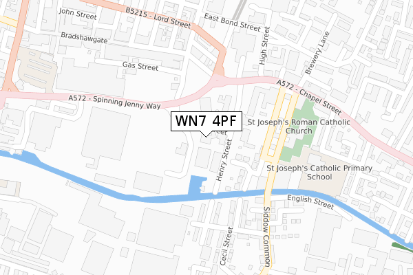
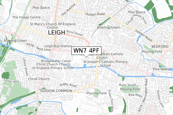
WN7 4PF is located in the Leigh Central & Higher Folds electoral ward, within the metropolitan district of Wigan and the English Parliamentary constituency of Leigh. The Sub Integrated Care Board (ICB) Location is NHS Greater Manchester ICB - 02H and the police force is Greater Manchester. This postcode has been in use since June 1999.


GetTheData
Source: OS Open Zoomstack (Ordnance Survey)
Licence: Open Government Licence (requires attribution)
Attribution: Contains OS data © Crown copyright and database right 2025
Source: Open Postcode Geo
Licence: Open Government Licence (requires attribution)
Attribution: Contains OS data © Crown copyright and database right 2025; Contains Royal Mail data © Royal Mail copyright and database right 2025; Source: Office for National Statistics licensed under the Open Government Licence v.3.0
| Easting | 366109 |
| Northing | 399824 |
| Latitude | 53.494037 |
| Longitude | -2.512309 |
GetTheData
Source: Open Postcode Geo
Licence: Open Government Licence
| Country | England |
| Postcode District | WN7 |
➜ See where WN7 is on a map ➜ Where is Leigh? | |
GetTheData
Source: Land Registry Price Paid Data
Licence: Open Government Licence
Elevation or altitude of WN7 4PF as distance above sea level:
| Metres | Feet | |
|---|---|---|
| Elevation | 30m | 98ft |
Elevation is measured from the approximate centre of the postcode, to the nearest point on an OS contour line from OS Terrain 50, which has contour spacing of ten vertical metres.
➜ How high above sea level am I? Find the elevation of your current position using your device's GPS.
GetTheData
Source: Open Postcode Elevation
Licence: Open Government Licence
| Ward | Leigh Central & Higher Folds |
| Constituency | Leigh |
GetTheData
Source: ONS Postcode Database
Licence: Open Government Licence
| Spinning Jenny Way/Brown St Sth (Spinning Jenny) | Leigh | 121m |
| Spinning Jenny Way/Tesco (Spinning Jenny) | Leigh | 147m |
| Brunswick St/Chapel St (Brunswick St) | Leigh | 188m |
| Mather Ln/Chapel St (Mather Ln) | Leigh | 205m |
| Chapel St/Brunswick St (Chapel St) | Leigh | 217m |
| Atherton Station | 4.5km |
| Hag Fold Station | 4.6km |
GetTheData
Source: NaPTAN
Licence: Open Government Licence
GetTheData
Source: ONS Postcode Database
Licence: Open Government Licence


➜ Get more ratings from the Food Standards Agency
GetTheData
Source: Food Standards Agency
Licence: FSA terms & conditions
| Last Collection | |||
|---|---|---|---|
| Location | Mon-Fri | Sat | Distance |
| Burns Avenue | 17:40 | 11:30 | 133m |
| Leigh Branch Office | 19:15 | 12:30 | 469m |
| Charles Street | 18:10 | 11:35 | 615m |
GetTheData
Source: Dracos
Licence: Creative Commons Attribution-ShareAlike
The below table lists the International Territorial Level (ITL) codes (formerly Nomenclature of Territorial Units for Statistics (NUTS) codes) and Local Administrative Units (LAU) codes for WN7 4PF:
| ITL 1 Code | Name |
|---|---|
| TLD | North West (England) |
| ITL 2 Code | Name |
| TLD3 | Greater Manchester |
| ITL 3 Code | Name |
| TLD36 | Greater Manchester North West |
| LAU 1 Code | Name |
| E08000010 | Wigan |
GetTheData
Source: ONS Postcode Directory
Licence: Open Government Licence
The below table lists the Census Output Area (OA), Lower Layer Super Output Area (LSOA), and Middle Layer Super Output Area (MSOA) for WN7 4PF:
| Code | Name | |
|---|---|---|
| OA | E00032099 | |
| LSOA | E01006332 | Wigan 031E |
| MSOA | E02001317 | Wigan 031 |
GetTheData
Source: ONS Postcode Directory
Licence: Open Government Licence
| WN7 2PL | Brunswick Street | 132m |
| WN7 2RA | Princess Street | 193m |
| WN7 3ER | Henry Street | 201m |
| WN7 3EP | Edward Street | 206m |
| WN7 4NQ | Queen Street | 209m |
| WN7 2PB | Chapel Street | 236m |
| WN7 3EW | East Bridgewater Street | 255m |
| WN7 4NP | Bradshawgate | 256m |
| WN7 4ND | Bradshawgate | 264m |
| WN7 1BU | Brown Street North | 271m |
GetTheData
Source: Open Postcode Geo; Land Registry Price Paid Data
Licence: Open Government Licence