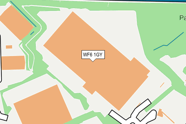
WF6 1GY is located in the Featherstone electoral ward, within the metropolitan district of Wakefield and the English Parliamentary constituency of Hemsworth. The Sub Integrated Care Board (ICB) Location is NHS West Yorkshire ICB - 03R and the police force is West Yorkshire. This postcode has been in use since September 2010.


GetTheData
Source: OS OpenMap – Local (Ordnance Survey)
Source: OS VectorMap District (Ordnance Survey)
Licence: Open Government Licence (requires attribution)
| Easting | 441058 |
| Northing | 423021 |
| Latitude | 53.702033 |
| Longitude | -1.379563 |
GetTheData
Source: Open Postcode Geo
Licence: Open Government Licence
| Country | England |
| Postcode District | WF6 |
➜ See where WF6 is on a map ➜ Where is Normanton? | |
GetTheData
Source: Land Registry Price Paid Data
Licence: Open Government Licence
Elevation or altitude of WF6 1GY as distance above sea level:
| Metres | Feet | |
|---|---|---|
| Elevation | 40m | 131ft |
Elevation is measured from the approximate centre of the postcode, to the nearest point on an OS contour line from OS Terrain 50, which has contour spacing of ten vertical metres.
➜ How high above sea level am I? Find the elevation of your current position using your device's GPS.
GetTheData
Source: Open Postcode Elevation
Licence: Open Government Licence
| Ward | Featherstone |
| Constituency | Hemsworth |
GetTheData
Source: ONS Postcode Database
Licence: Open Government Licence
| Loscoe Lane | Ackton | 680m |
| Loscoe Lane | Ackton | 690m |
| Loscoe Lane | Ackton | 691m |
| Cutsyke Road Castleford Ln (Cutsyke Road) | Cutsyke | 940m |
| Cutsyke Road Castleford Ln (Cutsyke Road) | Cutsyke | 948m |
| Glasshoughton Station | 2.6km |
| Normanton Station | 2.9km |
| Featherstone Station | 2.9km |
GetTheData
Source: NaPTAN
Licence: Open Government Licence
GetTheData
Source: ONS Postcode Database
Licence: Open Government Licence


➜ Get more ratings from the Food Standards Agency
GetTheData
Source: Food Standards Agency
Licence: FSA terms & conditions
| Last Collection | |||
|---|---|---|---|
| Location | Mon-Fri | Sat | Distance |
| Aketon Lane/West End Ave | 16:15 | 11:45 | 1,171m |
| Normanton Industrial Estate | 1,259m | ||
| Whitwood | 17:30 | 11:00 | 1,333m |
GetTheData
Source: Dracos
Licence: Creative Commons Attribution-ShareAlike
The below table lists the International Territorial Level (ITL) codes (formerly Nomenclature of Territorial Units for Statistics (NUTS) codes) and Local Administrative Units (LAU) codes for WF6 1GY:
| ITL 1 Code | Name |
|---|---|
| TLE | Yorkshire and The Humber |
| ITL 2 Code | Name |
| TLE4 | West Yorkshire |
| ITL 3 Code | Name |
| TLE45 | Wakefield |
| LAU 1 Code | Name |
| E08000036 | Wakefield |
GetTheData
Source: ONS Postcode Directory
Licence: Open Government Licence
The below table lists the Census Output Area (OA), Lower Layer Super Output Area (LSOA), and Middle Layer Super Output Area (MSOA) for WF6 1GY:
| Code | Name | |
|---|---|---|
| OA | E00168737 | |
| LSOA | E01011775 | Wakefield 024A |
| MSOA | E02002461 | Wakefield 024 |
GetTheData
Source: ONS Postcode Directory
Licence: Open Government Licence
| WF6 1GX | Devilliers Way | 370m |
| WF7 6HU | Ackton Wood Villas | 629m |
| WF6 1TN | Foxbridge Way | 730m |
| WF6 1RL | Tyler Close | 855m |
| WF10 5PL | Wood Lane | 856m |
| WF10 5PJ | Wood Lane | 865m |
| WF10 5QU | Pioneer Way | 939m |
| WF10 5PN | Wood Lane | 943m |
| WF6 1TA | Mildred Sylvester Way | 962m |
| WF10 5DP | Buttercup Way | 1006m |
GetTheData
Source: Open Postcode Geo; Land Registry Price Paid Data
Licence: Open Government Licence