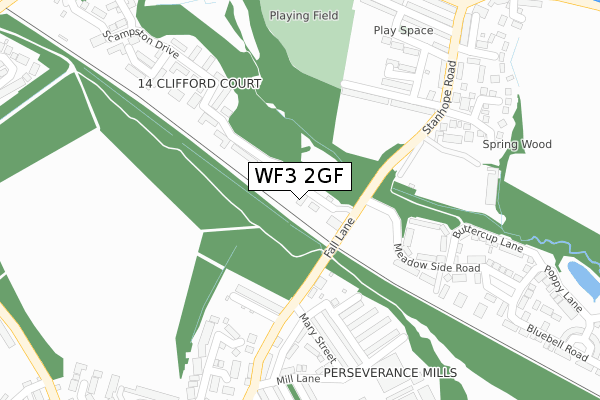
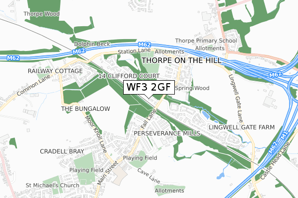
WF3 2GF is located in the Ardsley & Robin Hood electoral ward, within the metropolitan district of Leeds and the English Parliamentary constituency of Morley and Outwood. The Sub Integrated Care Board (ICB) Location is NHS West Yorkshire ICB - 15F and the police force is West Yorkshire. This postcode has been in use since September 2019.


GetTheData
Source: OS Open Zoomstack (Ordnance Survey)
Licence: Open Government Licence (requires attribution)
Attribution: Contains OS data © Crown copyright and database right 2025
Source: Open Postcode Geo
Licence: Open Government Licence (requires attribution)
Attribution: Contains OS data © Crown copyright and database right 2025; Contains Royal Mail data © Royal Mail copyright and database right 2025; Source: Office for National Statistics licensed under the Open Government Licence v.3.0
| Easting | 429988 |
| Northing | 425616 |
| Latitude | 53.726105 |
| Longitude | -1.546986 |
GetTheData
Source: Open Postcode Geo
Licence: Open Government Licence
| Country | England |
| Postcode District | WF3 |
➜ See where WF3 is on a map | |
GetTheData
Source: Land Registry Price Paid Data
Licence: Open Government Licence
| Ward | Ardsley & Robin Hood |
| Constituency | Morley And Outwood |
GetTheData
Source: ONS Postcode Database
Licence: Open Government Licence
| Bradford Road | East Ardsley | 238m |
| Bradford Road | East Ardsley | 239m |
| Amblers Mill (Bradford Road) | East Ardsley | 273m |
| Amblers Mill (Common Lane) | East Ardsley | 331m |
| Bradford Rd Healey Croft Lane (Bradford Road) | East Ardsley | 346m |
| Outwood Station | 2.7km |
| Morley Station | 3.9km |
| Cottingley Station | 5.4km |
GetTheData
Source: NaPTAN
Licence: Open Government Licence
GetTheData
Source: ONS Postcode Database
Licence: Open Government Licence


➜ Get more ratings from the Food Standards Agency
GetTheData
Source: Food Standards Agency
Licence: FSA terms & conditions
| Last Collection | |||
|---|---|---|---|
| Location | Mon-Fri | Sat | Distance |
| 1 Common Lane | 17:15 | 12:00 | 318m |
| Woodhouse Hall | 17:30 | 11:45 | 503m |
| East Ardsley P.o. | 17:30 | 12:15 | 645m |
GetTheData
Source: Dracos
Licence: Creative Commons Attribution-ShareAlike
The below table lists the International Territorial Level (ITL) codes (formerly Nomenclature of Territorial Units for Statistics (NUTS) codes) and Local Administrative Units (LAU) codes for WF3 2GF:
| ITL 1 Code | Name |
|---|---|
| TLE | Yorkshire and The Humber |
| ITL 2 Code | Name |
| TLE4 | West Yorkshire |
| ITL 3 Code | Name |
| TLE42 | Leeds |
| LAU 1 Code | Name |
| E08000035 | Leeds |
GetTheData
Source: ONS Postcode Directory
Licence: Open Government Licence
The below table lists the Census Output Area (OA), Lower Layer Super Output Area (LSOA), and Middle Layer Super Output Area (MSOA) for WF3 2GF:
| Code | Name | |
|---|---|---|
| OA | E00058168 | |
| LSOA | E01011538 | Leeds 107B |
| MSOA | E02002436 | Leeds 107 |
GetTheData
Source: ONS Postcode Directory
Licence: Open Government Licence
| WF3 2DJ | Bradford Road | 204m |
| WF3 2DL | Bradford Road | 283m |
| WF3 2AW | Millard Road | 284m |
| WF3 2EA | Millard Way | 312m |
| WF3 2LQ | Woodlands Close | 315m |
| WF3 2JT | The Copse | 336m |
| WF3 2DP | New Lane | 354m |
| WF3 2EP | Common Lane | 360m |
| WF3 2JH | High Woodlands | 362m |
| WF3 2HX | Orange Tree Grove | 365m |
GetTheData
Source: Open Postcode Geo; Land Registry Price Paid Data
Licence: Open Government Licence