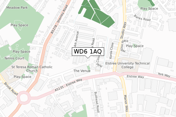
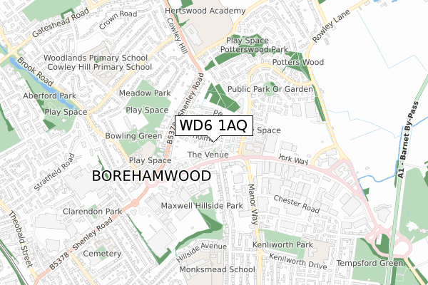
WD6 1AQ is located in the Borehamwood Cowley Hill electoral ward, within the local authority district of Hertsmere and the English Parliamentary constituency of Hertsmere. The Sub Integrated Care Board (ICB) Location is NHS Hertfordshire and West Essex ICB - 06N and the police force is Hertfordshire. This postcode has been in use since October 2019.


GetTheData
Source: OS Open Zoomstack (Ordnance Survey)
Licence: Open Government Licence (requires attribution)
Attribution: Contains OS data © Crown copyright and database right 2025
Source: Open Postcode Geo
Licence: Open Government Licence (requires attribution)
Attribution: Contains OS data © Crown copyright and database right 2025; Contains Royal Mail data © Royal Mail copyright and database right 2025; Source: Office for National Statistics licensed under the Open Government Licence v.3.0
| Easting | 520141 |
| Northing | 197212 |
| Latitude | 51.660863 |
| Longitude | -0.264421 |
GetTheData
Source: Open Postcode Geo
Licence: Open Government Licence
| Country | England |
| Postcode District | WD6 |
➜ See where WD6 is on a map ➜ Where is Borehamwood? | |
GetTheData
Source: Land Registry Price Paid Data
Licence: Open Government Licence
| Ward | Borehamwood Cowley Hill |
| Constituency | Hertsmere |
GetTheData
Source: ONS Postcode Database
Licence: Open Government Licence
| Studio Way (Elstree Way) | Borehamwood | 143m |
| Bergman Court (Studio Way) | Borehamwood | 152m |
| Bergman Court (Studio Way) | Borehamwood | 173m |
| Studio Way (Elstree Way) | Borehamwood | 244m |
| Meadow Road (Shenley Road) | Borehamwood | 253m |
| Elstree & Borehamwood Station | 1.4km |
| Radlett Station | 4.5km |
| Potters Bar Station | 6.4km |
GetTheData
Source: NaPTAN
Licence: Open Government Licence
GetTheData
Source: ONS Postcode Database
Licence: Open Government Licence

➜ Get more ratings from the Food Standards Agency
GetTheData
Source: Food Standards Agency
Licence: FSA terms & conditions
| Last Collection | |||
|---|---|---|---|
| Location | Mon-Fri | Sat | Distance |
| Balcon Way | 17:30 | 11:30 | 437m |
| Farriers Way | 17:30 | 11:30 | 739m |
| Shenley Road | 17:30 | 11:30 | 825m |
GetTheData
Source: Dracos
Licence: Creative Commons Attribution-ShareAlike
The below table lists the International Territorial Level (ITL) codes (formerly Nomenclature of Territorial Units for Statistics (NUTS) codes) and Local Administrative Units (LAU) codes for WD6 1AQ:
| ITL 1 Code | Name |
|---|---|
| TLH | East |
| ITL 2 Code | Name |
| TLH2 | Bedfordshire and Hertfordshire |
| ITL 3 Code | Name |
| TLH23 | Hertfordshire CC |
| LAU 1 Code | Name |
| E07000098 | Hertsmere |
GetTheData
Source: ONS Postcode Directory
Licence: Open Government Licence
The below table lists the Census Output Area (OA), Lower Layer Super Output Area (LSOA), and Middle Layer Super Output Area (MSOA) for WD6 1AQ:
| Code | Name | |
|---|---|---|
| OA | E00119529 | |
| LSOA | E01023537 | Hertsmere 006D |
| MSOA | E02004901 | Hertsmere 006 |
GetTheData
Source: ONS Postcode Directory
Licence: Open Government Licence
| WD6 1FZ | Todd Close | 52m |
| WD6 1FY | Todd Close | 55m |
| WD6 1FT | Todd Close | 71m |
| WD6 5FF | Korda Close | 110m |
| WD6 1GD | Todd Close | 142m |
| WD6 1BZ | Gemini Park | 149m |
| WD6 5FG | Studio Way | 159m |
| WD6 1BY | Gemini Park | 163m |
| WD6 1BX | Gemini Park | 198m |
| WD6 1TR | Thrift Farm Lane | 209m |
GetTheData
Source: Open Postcode Geo; Land Registry Price Paid Data
Licence: Open Government Licence