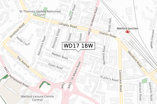
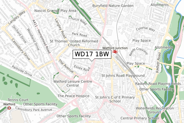
WD17 1BW is located in the Nascot electoral ward, within the local authority district of Watford and the English Parliamentary constituency of Watford. The Sub Integrated Care Board (ICB) Location is NHS Hertfordshire and West Essex ICB - 06N and the police force is Hertfordshire. This postcode has been in use since January 2020.


GetTheData
Source: OS Open Zoomstack (Ordnance Survey)
Licence: Open Government Licence (requires attribution)
Attribution: Contains OS data © Crown copyright and database right 2025
Source: Open Postcode Geo
Licence: Open Government Licence (requires attribution)
Attribution: Contains OS data © Crown copyright and database right 2025; Contains Royal Mail data © Royal Mail copyright and database right 2025; Source: Office for National Statistics licensed under the Open Government Licence v.3.0
| Easting | 510703 |
| Northing | 197216 |
| Latitude | 51.662836 |
| Longitude | -0.400813 |
GetTheData
Source: Open Postcode Geo
Licence: Open Government Licence
| Country | England |
| Postcode District | WD17 |
➜ See where WD17 is on a map ➜ Where is Watford? | |
GetTheData
Source: Land Registry Price Paid Data
Licence: Open Government Licence
| Ward | Nascot |
| Constituency | Watford |
GetTheData
Source: ONS Postcode Database
Licence: Open Government Licence
| West Street (St Albans Road) | Watford | 75m |
| West Street (St Albans Road) | Watford | 87m |
| Town Hall (The Avenue) | Watford | 243m |
| Beechen Grove North | Watford | 284m |
| Beechen Grove North | Watford | 286m |
| Watford Underground Station | Watford | 1,292m |
| Watford Junction Station | 0.3km |
| Watford High Street Station | 1.3km |
| Watford North Station | 1.6km |
GetTheData
Source: NaPTAN
Licence: Open Government Licence
GetTheData
Source: ONS Postcode Database
Licence: Open Government Licence


➜ Get more ratings from the Food Standards Agency
GetTheData
Source: Food Standards Agency
Licence: FSA terms & conditions
| Last Collection | |||
|---|---|---|---|
| Location | Mon-Fri | Sat | Distance |
| Watford Junction | 18:30 | 282m | |
| Watford Junction Station | 18:30 | 11:30 | 282m |
| The Avenue | 18:30 | 12:00 | 355m |
GetTheData
Source: Dracos
Licence: Creative Commons Attribution-ShareAlike
The below table lists the International Territorial Level (ITL) codes (formerly Nomenclature of Territorial Units for Statistics (NUTS) codes) and Local Administrative Units (LAU) codes for WD17 1BW:
| ITL 1 Code | Name |
|---|---|
| TLH | East |
| ITL 2 Code | Name |
| TLH2 | Bedfordshire and Hertfordshire |
| ITL 3 Code | Name |
| TLH23 | Hertfordshire CC |
| LAU 1 Code | Name |
| E07000103 | Watford |
GetTheData
Source: ONS Postcode Directory
Licence: Open Government Licence
The below table lists the Census Output Area (OA), Lower Layer Super Output Area (LSOA), and Middle Layer Super Output Area (MSOA) for WD17 1BW:
| Code | Name | |
|---|---|---|
| OA | E00121261 | |
| LSOA | E01023880 | Watford 007C |
| MSOA | E02004974 | Watford 007 |
GetTheData
Source: ONS Postcode Directory
Licence: Open Government Licence
| WD17 4EJ | Malden Road | 28m |
| WD17 1RN | St Albans Road | 62m |
| WD17 4RB | Nascot Street | 86m |
| WD17 1RY | West Street | 97m |
| WD17 1QT | Canterbury Road | 100m |
| WD17 1QU | Wellington Road | 100m |
| WD17 4YB | Nascot Street | 101m |
| WD17 4EN | Malden Road | 105m |
| WD17 4EW | Malden Road | 127m |
| WD17 1QD | Franklin Road | 142m |
GetTheData
Source: Open Postcode Geo; Land Registry Price Paid Data
Licence: Open Government Licence