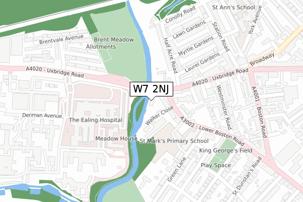
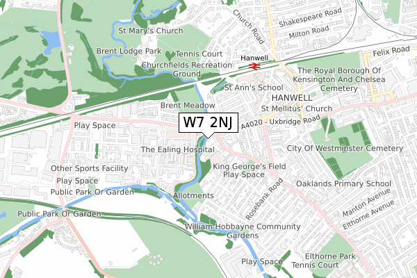
W7 2NJ is located in the Hanwell Broadway electoral ward, within the London borough of Ealing and the English Parliamentary constituency of Ealing, Southall. The Sub Integrated Care Board (ICB) Location is NHS North West London ICB - W2U3Z and the police force is Metropolitan Police. This postcode has been in use since January 1980.


GetTheData
Source: OS Open Zoomstack (Ordnance Survey)
Licence: Open Government Licence (requires attribution)
Attribution: Contains OS data © Crown copyright and database right 2025
Source: Open Postcode Geo
Licence: Open Government Licence (requires attribution)
Attribution: Contains OS data © Crown copyright and database right 2025; Contains Royal Mail data © Royal Mail copyright and database right 2025; Source: Office for National Statistics licensed under the Open Government Licence v.3.0
| Easting | 515110 |
| Northing | 180079 |
| Latitude | 51.507927 |
| Longitude | -0.342760 |
GetTheData
Source: Open Postcode Geo
Licence: Open Government Licence
| Country | England |
| Postcode District | W7 |
➜ See where W7 is on a map ➜ Where is London? | |
GetTheData
Source: Land Registry Price Paid Data
Licence: Open Government Licence
Elevation or altitude of W7 2NJ as distance above sea level:
| Metres | Feet | |
|---|---|---|
| Elevation | 20m | 66ft |
Elevation is measured from the approximate centre of the postcode, to the nearest point on an OS contour line from OS Terrain 50, which has contour spacing of ten vertical metres.
➜ How high above sea level am I? Find the elevation of your current position using your device's GPS.
GetTheData
Source: Open Postcode Elevation
Licence: Open Government Licence
| Ward | Hanwell Broadway |
| Constituency | Ealing, Southall |
GetTheData
Source: ONS Postcode Database
Licence: Open Government Licence
| Half Acre Road (Uxbridge Road) | Hanwell | 120m |
| Half Acre Road (Uxbridge Road) | Hanwell | 197m |
| Ealing Hospital | Hanwell | 233m |
| Ealing Hospital | Hanwell | 280m |
| Ealing Hospital | Hanwell | 293m |
| Boston Manor Underground Station | Boston Manor | 1,844m |
| Hanwell Station | 0.5km |
| Drayton Green Station | 1.3km |
| West Ealing Station | 1.7km |
GetTheData
Source: NaPTAN
Licence: Open Government Licence
GetTheData
Source: ONS Postcode Database
Licence: Open Government Licence


➜ Get more ratings from the Food Standards Agency
GetTheData
Source: Food Standards Agency
Licence: FSA terms & conditions
| Last Collection | |||
|---|---|---|---|
| Location | Mon-Fri | Sat | Distance |
| Wharncliffe Drive | 17:30 | 11:45 | 273m |
| Station Road | 17:30 | 12:00 | 299m |
| Saint Mark's Road | 17:30 | 12:00 | 361m |
GetTheData
Source: Dracos
Licence: Creative Commons Attribution-ShareAlike
| Risk of W7 2NJ flooding from rivers and sea | Medium |
| ➜ W7 2NJ flood map | |
GetTheData
Source: Open Flood Risk by Postcode
Licence: Open Government Licence
The below table lists the International Territorial Level (ITL) codes (formerly Nomenclature of Territorial Units for Statistics (NUTS) codes) and Local Administrative Units (LAU) codes for W7 2NJ:
| ITL 1 Code | Name |
|---|---|
| TLI | London |
| ITL 2 Code | Name |
| TLI7 | Outer London - West and North West |
| ITL 3 Code | Name |
| TLI73 | Ealing |
| LAU 1 Code | Name |
| E09000009 | Ealing |
GetTheData
Source: ONS Postcode Directory
Licence: Open Government Licence
The below table lists the Census Output Area (OA), Lower Layer Super Output Area (LSOA), and Middle Layer Super Output Area (MSOA) for W7 2NJ:
| Code | Name | |
|---|---|---|
| OA | E00006248 | |
| LSOA | E01001254 | Ealing 030D |
| MSOA | E02000267 | Ealing 030 |
GetTheData
Source: ONS Postcode Directory
Licence: Open Government Licence
| W7 2NR | Lower Boston Road | 73m |
| W7 3UA | Lower Boston Road | 86m |
| W7 3NB | Walker Close | 94m |
| W7 3UB | The Heath | 119m |
| W7 3TB | Uxbridge Road | 135m |
| W7 3UG | Vine Cottages | 158m |
| W7 3JH | Half Acre Road | 184m |
| W7 3TE | Maudesville Cottages | 190m |
| W7 3JJ | Half Acre Road | 192m |
| W7 3UF | Laurel Bank Villas | 194m |
GetTheData
Source: Open Postcode Geo; Land Registry Price Paid Data
Licence: Open Government Licence