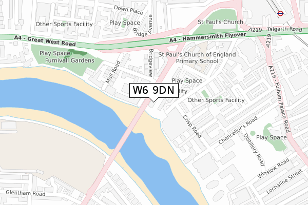
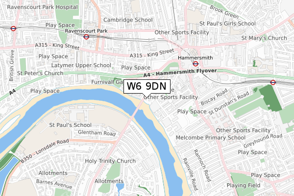
W6 9DN is located in the Hammersmith Broadway electoral ward, within the London borough of Hammersmith and Fulham and the English Parliamentary constituency of Hammersmith. The Sub Integrated Care Board (ICB) Location is NHS North West London ICB - W2U3Z and the police force is Metropolitan Police. This postcode has been in use since October 2019.


GetTheData
Source: OS Open Zoomstack (Ordnance Survey)
Licence: Open Government Licence (requires attribution)
Attribution: Contains OS data © Crown copyright and database right 2025
Source: Open Postcode Geo
Licence: Open Government Licence (requires attribution)
Attribution: Contains OS data © Crown copyright and database right 2025; Contains Royal Mail data © Royal Mail copyright and database right 2025; Source: Office for National Statistics licensed under the Open Government Licence v.3.0
| Easting | 523117 |
| Northing | 178072 |
| Latitude | 51.488204 |
| Longitude | -0.228120 |
GetTheData
Source: Open Postcode Geo
Licence: Open Government Licence
| Country | England |
| Postcode District | W6 |
➜ See where W6 is on a map ➜ Where is Hammersmith? | |
GetTheData
Source: Land Registry Price Paid Data
Licence: Open Government Licence
| Ward | Hammersmith Broadway |
| Constituency | Hammersmith |
GetTheData
Source: ONS Postcode Database
Licence: Open Government Licence
| Hammersmith Bridge North Side | Hammersmith | 172m |
| Hammersmith Bridge (Hammersmith Bridge Road) | Hammersmith | 198m |
| Hammersmith Broadway (Fulham Palace Road) | Hammersmith | 384m |
| Hammersmith Bridge Road | Hammersmith | 390m |
| Lonsdale Road | Barnes | 397m |
| Hammersmith (Dist&picc Line) Underground Station | Hammersmith | 553m |
| Hammersmith (H&c Line) Underground Station | Hammersmith | 632m |
| Ravenscourt Park Underground Station | Ravenscourt Park | 850m |
| Barons Court Underground Station | Barons Court | 1,048m |
| Stamford Brook Underground Station | Stamford Brook | 1,430m |
| Kensington (Olympia) Station | 1.6km |
| Shepherds Bush Station | 2km |
| West Brompton Station | 2.3km |
GetTheData
Source: NaPTAN
Licence: Open Government Licence
GetTheData
Source: ONS Postcode Database
Licence: Open Government Licence


➜ Get more ratings from the Food Standards Agency
GetTheData
Source: Food Standards Agency
Licence: FSA terms & conditions
| Last Collection | |||
|---|---|---|---|
| Location | Mon-Fri | Sat | Distance |
| Crisp Road | 17:30 | 12:00 | 125m |
| Hammersmith Bridge Avenue | 17:30 | 12:00 | 193m |
| Castelnau | 17:30 | 12:00 | 255m |
GetTheData
Source: Dracos
Licence: Creative Commons Attribution-ShareAlike
| Risk of W6 9DN flooding from rivers and sea | Very Low |
| ➜ W6 9DN flood map | |
GetTheData
Source: Open Flood Risk by Postcode
Licence: Open Government Licence
The below table lists the International Territorial Level (ITL) codes (formerly Nomenclature of Territorial Units for Statistics (NUTS) codes) and Local Administrative Units (LAU) codes for W6 9DN:
| ITL 1 Code | Name |
|---|---|
| TLI | London |
| ITL 2 Code | Name |
| TLI3 | Inner London - West |
| ITL 3 Code | Name |
| TLI33 | Kensington & Chelsea and Hammersmith & Fulham |
| LAU 1 Code | Name |
| E09000013 | Hammersmith and Fulham |
GetTheData
Source: ONS Postcode Directory
Licence: Open Government Licence
The below table lists the Census Output Area (OA), Lower Layer Super Output Area (LSOA), and Middle Layer Super Output Area (MSOA) for W6 9DN:
| Code | Name | |
|---|---|---|
| OA | E00009467 | |
| LSOA | E01001893 | Hammersmith and Fulham 013A |
| MSOA | E02000384 | Hammersmith and Fulham 013 |
GetTheData
Source: ONS Postcode Directory
Licence: Open Government Licence
| W6 9RT | Chancellors Wharf | 44m |
| W6 9RL | Crisp Road | 89m |
| W6 9BX | Queen Caroline Street | 113m |
| W6 9GX | Chancellors Road | 118m |
| W6 9RG | Queen Caroline Street | 119m |
| W6 9RN | Chancellors Street | 124m |
| W6 9RW | St James Street | 126m |
| W6 9XF | Lower Mall | 130m |
| W6 9DA | Hammersmith Bridge Road | 132m |
| W6 9BU | Queen Caroline Street | 132m |
GetTheData
Source: Open Postcode Geo; Land Registry Price Paid Data
Licence: Open Government Licence