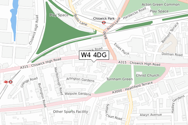
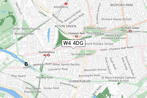
W4 4DG is located in the Chiswick Gunnersbury electoral ward, within the London borough of Hounslow and the English Parliamentary constituency of Brentford and Isleworth. The Sub Integrated Care Board (ICB) Location is NHS North West London ICB - W2U3Z and the police force is Metropolitan Police. This postcode has been in use since December 2019.


GetTheData
Source: OS Open Zoomstack (Ordnance Survey)
Licence: Open Government Licence (requires attribution)
Attribution: Contains OS data © Crown copyright and database right 2025
Source: Open Postcode Geo
Licence: Open Government Licence (requires attribution)
Attribution: Contains OS data © Crown copyright and database right 2025; Contains Royal Mail data © Royal Mail copyright and database right 2025; Source: Office for National Statistics licensed under the Open Government Licence v.3.0
| Easting | 520303 |
| Northing | 178502 |
| Latitude | 51.492674 |
| Longitude | -0.268484 |
GetTheData
Source: Open Postcode Geo
Licence: Open Government Licence
| Country | England |
| Postcode District | W4 |
➜ See where W4 is on a map ➜ Where is London? | |
GetTheData
Source: Land Registry Price Paid Data
Licence: Open Government Licence
| Ward | Chiswick Gunnersbury |
| Constituency | Brentford And Isleworth |
GetTheData
Source: ONS Postcode Database
Licence: Open Government Licence
| Turnham Greensutton Lane Nth (Sutton Lane North) | Chiswick Park | 104m |
| Chiswick Road (Chiswick High Road) | Gunnersbury | 149m |
| Chiswick Park | Chiswick Park | 150m |
| Chiswick Park | Chiswick Park | 165m |
| Chiswick Road (Chiswick High Road) | Gunnersbury | 165m |
| Chiswick Park Underground Station | Chiswick Park | 220m |
| Gunnersbury Underground Station | Gunnersbury | 479m |
| Turnham Green Underground Station | Turnham Green | 1,007m |
| Acton Town Underground Station | Acton Town | 1,422m |
| Gunnersbury Station | 0.5km |
| South Acton Station | 0.8km |
| Chiswick Station | 1.3km |
GetTheData
Source: NaPTAN
Licence: Open Government Licence
GetTheData
Source: ONS Postcode Database
Licence: Open Government Licence


➜ Get more ratings from the Food Standards Agency
GetTheData
Source: Food Standards Agency
Licence: FSA terms & conditions
| Last Collection | |||
|---|---|---|---|
| Location | Mon-Fri | Sat | Distance |
| 472 Chiswick High Road | 17:30 | 12:00 | 47m |
| Marlborough Road | 17:30 | 12:00 | 201m |
| Heathfield Terrace | 17:30 | 12:00 | 205m |
GetTheData
Source: Dracos
Licence: Creative Commons Attribution-ShareAlike
| Risk of W4 4DG flooding from rivers and sea | Very Low |
| ➜ W4 4DG flood map | |
GetTheData
Source: Open Flood Risk by Postcode
Licence: Open Government Licence
The below table lists the International Territorial Level (ITL) codes (formerly Nomenclature of Territorial Units for Statistics (NUTS) codes) and Local Administrative Units (LAU) codes for W4 4DG:
| ITL 1 Code | Name |
|---|---|
| TLI | London |
| ITL 2 Code | Name |
| TLI7 | Outer London - West and North West |
| ITL 3 Code | Name |
| TLI75 | Hounslow and Richmond upon Thames |
| LAU 1 Code | Name |
| E09000018 | Hounslow |
GetTheData
Source: ONS Postcode Directory
Licence: Open Government Licence
The below table lists the Census Output Area (OA), Lower Layer Super Output Area (LSOA), and Middle Layer Super Output Area (MSOA) for W4 4DG:
| Code | Name | |
|---|---|---|
| OA | E00013344 | |
| LSOA | E01002687 | Hounslow 029A |
| MSOA | E02006792 | Hounslow 029 |
GetTheData
Source: ONS Postcode Directory
Licence: Open Government Licence
| W4 4BA | Kings Place | 33m |
| W4 5TT | Chiswick High Road | 45m |
| W4 4HB | Arlington Cottages | 50m |
| W4 4HH | Chiswick High Road | 56m |
| W4 5RF | Addison Terrace | 58m |
| W4 5RE | Chiswick Road | 62m |
| W4 4JA | Bishops Close | 67m |
| W4 4HS | Chiswick High Road | 76m |
| W4 5RA | Chiswick Road | 81m |
| W4 4HD | Sutton Lane North | 82m |
GetTheData
Source: Open Postcode Geo; Land Registry Price Paid Data
Licence: Open Government Licence