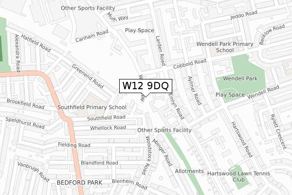
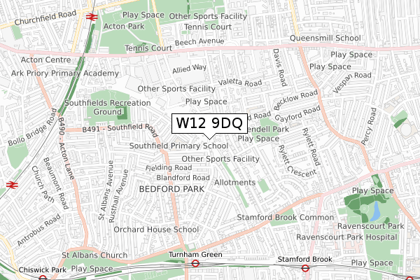
W12 9DQ is located in the Wendell Park electoral ward, within the London borough of Hammersmith and Fulham and the English Parliamentary constituency of Hammersmith. The Sub Integrated Care Board (ICB) Location is NHS North West London ICB - W2U3Z and the police force is Metropolitan Police. This postcode has been in use since December 2019.


GetTheData
Source: OS Open Zoomstack (Ordnance Survey)
Licence: Open Government Licence (requires attribution)
Attribution: Contains OS data © Crown copyright and database right 2025
Source: Open Postcode Geo
Licence: Open Government Licence (requires attribution)
Attribution: Contains OS data © Crown copyright and database right 2025; Contains Royal Mail data © Royal Mail copyright and database right 2025; Source: Office for National Statistics licensed under the Open Government Licence v.3.0
| Easting | 521353 |
| Northing | 179542 |
| Latitude | 51.501797 |
| Longitude | -0.253010 |
GetTheData
Source: Open Postcode Geo
Licence: Open Government Licence
| Country | England |
| Postcode District | W12 |
➜ See where W12 is on a map ➜ Where is London? | |
GetTheData
Source: Land Registry Price Paid Data
Licence: Open Government Licence
| Ward | Wendell Park |
| Constituency | Hammersmith |
GetTheData
Source: ONS Postcode Database
Licence: Open Government Licence
| Larden Road Factory Quarter | Bedford Park | 127m |
| Larden Road Factory Quarter | Bedford Park | 131m |
| Blandford Road (W4) (The Avenue) | Bedford Park | 312m |
| Rugby Road (Southfield Road) | Bedford Park | 313m |
| Rugby Road (Southfield Road) | Bedford Park | 333m |
| Turnham Green Underground Station | Turnham Green | 747m |
| Stamford Brook Underground Station | Stamford Brook | 919m |
| Chiswick Park Underground Station | Chiswick Park | 1,308m |
| Ravenscourt Park Underground Station | Ravenscourt Park | 1,465m |
| Acton Central Station | 1km |
| South Acton Station | 1.2km |
| Gunnersbury Station | 1.9km |
GetTheData
Source: NaPTAN
Licence: Open Government Licence
GetTheData
Source: ONS Postcode Database
Licence: Open Government Licence


➜ Get more ratings from the Food Standards Agency
GetTheData
Source: Food Standards Agency
Licence: FSA terms & conditions
| Last Collection | |||
|---|---|---|---|
| Location | Mon-Fri | Sat | Distance |
| Harswood Road | 17:30 | 12:00 | 262m |
| Woodstock Road | 17:30 | 12:00 | 293m |
| Post Office | 17:30 | 12:00 | 307m |
GetTheData
Source: Dracos
Licence: Creative Commons Attribution-ShareAlike
| Risk of W12 9DQ flooding from rivers and sea | Very Low |
| ➜ W12 9DQ flood map | |
GetTheData
Source: Open Flood Risk by Postcode
Licence: Open Government Licence
The below table lists the International Territorial Level (ITL) codes (formerly Nomenclature of Territorial Units for Statistics (NUTS) codes) and Local Administrative Units (LAU) codes for W12 9DQ:
| ITL 1 Code | Name |
|---|---|
| TLI | London |
| ITL 2 Code | Name |
| TLI3 | Inner London - West |
| ITL 3 Code | Name |
| TLI33 | Kensington & Chelsea and Hammersmith & Fulham |
| LAU 1 Code | Name |
| E09000013 | Hammersmith and Fulham |
GetTheData
Source: ONS Postcode Directory
Licence: Open Government Licence
The below table lists the Census Output Area (OA), Lower Layer Super Output Area (LSOA), and Middle Layer Super Output Area (MSOA) for W12 9DQ:
| Code | Name | |
|---|---|---|
| OA | E00009312 | |
| LSOA | E01001859 | Hammersmith and Fulham 008A |
| MSOA | E02000379 | Hammersmith and Fulham 008 |
GetTheData
Source: ONS Postcode Directory
Licence: Open Government Licence
| W12 9UQ | Emlyn Gardens | 32m |
| W12 9UH | Emlyn Gardens | 37m |
| W12 9UL | Emlyn Gardens | 37m |
| W12 9UG | Emlyn Gardens | 56m |
| W4 1AB | Worcester Drive | 59m |
| W12 9UJ | Emlyn Gardens | 60m |
| W12 9UN | Emlyn Gardens | 63m |
| W12 9UW | Emlyn Gardens | 63m |
| W12 9UF | Emlyn Gardens | 73m |
| W4 1EF | Woodstock Road | 83m |
GetTheData
Source: Open Postcode Geo; Land Registry Price Paid Data
Licence: Open Government Licence