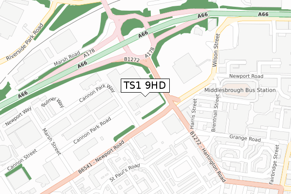
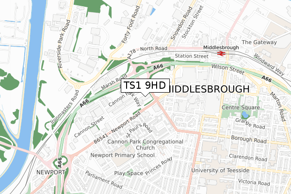
TS1 9HD is located in the Newport electoral ward, within the unitary authority of Middlesbrough and the English Parliamentary constituency of Middlesbrough. The Sub Integrated Care Board (ICB) Location is NHS North East and North Cumbria ICB - 16C and the police force is Cleveland. This postcode has been in use since April 2020.


GetTheData
Source: OS Open Zoomstack (Ordnance Survey)
Licence: Open Government Licence (requires attribution)
Attribution: Contains OS data © Crown copyright and database right 2024
Source: Open Postcode Geo
Licence: Open Government Licence (requires attribution)
Attribution: Contains OS data © Crown copyright and database right 2024; Contains Royal Mail data © Royal Mail copyright and database right 2024; Source: Office for National Statistics licensed under the Open Government Licence v.3.0
| Easting | 448907 |
| Northing | 520333 |
| Latitude | 54.575865 |
| Longitude | -1.244956 |
GetTheData
Source: Open Postcode Geo
Licence: Open Government Licence
| Country | England |
| Postcode District | TS1 |
➜ See where TS1 is on a map ➜ Where is Middlesbrough? | |
GetTheData
Source: Land Registry Price Paid Data
Licence: Open Government Licence
| Ward | Newport |
| Constituency | Middlesbrough |
GetTheData
Source: ONS Postcode Database
Licence: Open Government Licence
| Cannon Park Way (Newport Road) | Newport | 80m |
| Cannon Park Way (Newport Road) | Newport | 115m |
| Cannon Park Way (Newport Road) | Newport | 163m |
| Broadcasting House Stand 33 (Newport Road) | Middlesbrough | 200m |
| Park & Ride Cannon Park Way (Cannon Park Way) | Newport | 251m |
| Middlesbrough Station | 0.8km |
| James Cook University Hospital Station | 3.5km |
| Billingham Station | 4km |
GetTheData
Source: NaPTAN
Licence: Open Government Licence
GetTheData
Source: ONS Postcode Database
Licence: Open Government Licence


➜ Get more ratings from the Food Standards Agency
GetTheData
Source: Food Standards Agency
Licence: FSA terms & conditions
| Last Collection | |||
|---|---|---|---|
| Location | Mon-Fri | Sat | Distance |
| Boundary Road | 18:30 | 13:00 | 310m |
| Grange Road Post Office | 18:30 | 13:15 | 461m |
| Branch Office | 17:30 | 12:30 | 586m |
GetTheData
Source: Dracos
Licence: Creative Commons Attribution-ShareAlike
The below table lists the International Territorial Level (ITL) codes (formerly Nomenclature of Territorial Units for Statistics (NUTS) codes) and Local Administrative Units (LAU) codes for TS1 9HD:
| ITL 1 Code | Name |
|---|---|
| TLC | North East (England) |
| ITL 2 Code | Name |
| TLC1 | Tees Valley and Durham |
| ITL 3 Code | Name |
| TLC12 | South Teesside |
| LAU 1 Code | Name |
| E06000002 | Middlesbrough |
GetTheData
Source: ONS Postcode Directory
Licence: Open Government Licence
The below table lists the Census Output Area (OA), Lower Layer Super Output Area (LSOA), and Middle Layer Super Output Area (MSOA) for TS1 9HD:
| Code | Name | |
|---|---|---|
| OA | E00060703 | |
| LSOA | E01012041 | Middlesbrough 003F |
| MSOA | E02002498 | Middlesbrough 003 |
GetTheData
Source: ONS Postcode Directory
Licence: Open Government Licence
| TS1 5JD | Newport Road | 145m |
| TS1 5JU | Cannon Park Way | 159m |
| TS1 5ED | Hartington Road | 162m |
| TS1 5EF | Harris Street | 186m |
| TS1 5EE | Yew Street | 188m |
| TS1 5LL | Ammerston Road | 189m |
| TS1 5LW | Faverdale Close | 200m |
| TS1 5BA | Grange Road | 238m |
| TS1 1LA | Newport Road | 277m |
| TS1 5LR | Ketton Row | 288m |
GetTheData
Source: Open Postcode Geo; Land Registry Price Paid Data
Licence: Open Government Licence