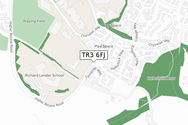
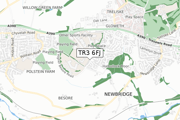
TR3 6FJ is located in the Gloweth, Malabar & Shortlanesend electoral ward, within the unitary authority of Cornwall and the English Parliamentary constituency of Truro and Falmouth. The Sub Integrated Care Board (ICB) Location is NHS Cornwall and the Isles of Scilly ICB - 11N and the police force is Devon & Cornwall. This postcode has been in use since November 2017.


GetTheData
Source: OS Open Zoomstack (Ordnance Survey)
Licence: Open Government Licence (requires attribution)
Attribution: Contains OS data © Crown copyright and database right 2024
Source: Open Postcode Geo
Licence: Open Government Licence (requires attribution)
Attribution: Contains OS data © Crown copyright and database right 2024; Contains Royal Mail data © Royal Mail copyright and database right 2024; Source: Office for National Statistics licensed under the Open Government Licence v.3.0
| Easting | 179207 |
| Northing | 44662 |
| Latitude | 50.260561 |
| Longitude | -5.099169 |
GetTheData
Source: Open Postcode Geo
Licence: Open Government Licence
| Country | England |
| Postcode District | TR3 |
➜ See where TR3 is on a map ➜ Where is Truro? | |
GetTheData
Source: Land Registry Price Paid Data
Licence: Open Government Licence
| Ward | Gloweth, Malabar & Shortlanesend |
| Constituency | Truro And Falmouth |
GetTheData
Source: ONS Postcode Database
Licence: Open Government Licence
| Chyvelah Ope (Chyvelah Vale) | Gloweth | 163m |
| Richard Lander School | Threemilestone | 309m |
| Truro College (Car Park) | Threemilestone | 336m |
| Truro Leisure Centre | Threemilestone | 358m |
| Truro College (Tresawls Road) | Threemilestone | 419m |
| Truro Station | 2.5km |
| Perranwell Station | 5km |
GetTheData
Source: NaPTAN
Licence: Open Government Licence
| Percentage of properties with Next Generation Access | 100.0% |
| Percentage of properties with Superfast Broadband | 100.0% |
| Percentage of properties with Ultrafast Broadband | 100.0% |
| Percentage of properties with Full Fibre Broadband | 100.0% |
Superfast Broadband is between 30Mbps and 300Mbps
Ultrafast Broadband is > 300Mbps
| Percentage of properties unable to receive 2Mbps | 0.0% |
| Percentage of properties unable to receive 5Mbps | 0.0% |
| Percentage of properties unable to receive 10Mbps | 0.0% |
| Percentage of properties unable to receive 30Mbps | 0.0% |
GetTheData
Source: Ofcom
Licence: Ofcom Terms of Use (requires attribution)
GetTheData
Source: ONS Postcode Database
Licence: Open Government Licence


➜ Get more ratings from the Food Standards Agency
GetTheData
Source: Food Standards Agency
Licence: FSA terms & conditions
| Last Collection | |||
|---|---|---|---|
| Location | Mon-Fri | Sat | Distance |
| Treyew Road | 16:45 | 12:10 | 2,383m |
| Railway Station | 17:00 | 11:35 | 2,528m |
| Daniel Street Post Office | 16:00 | 12:15 | 2,759m |
GetTheData
Source: Dracos
Licence: Creative Commons Attribution-ShareAlike
The below table lists the International Territorial Level (ITL) codes (formerly Nomenclature of Territorial Units for Statistics (NUTS) codes) and Local Administrative Units (LAU) codes for TR3 6FJ:
| ITL 1 Code | Name |
|---|---|
| TLK | South West (England) |
| ITL 2 Code | Name |
| TLK3 | Cornwall and Isles of Scilly |
| ITL 3 Code | Name |
| TLK30 | Cornwall and Isles of Scilly |
| LAU 1 Code | Name |
| E06000052 | Cornwall |
GetTheData
Source: ONS Postcode Directory
Licence: Open Government Licence
The below table lists the Census Output Area (OA), Lower Layer Super Output Area (LSOA), and Middle Layer Super Output Area (MSOA) for TR3 6FJ:
| Code | Name | |
|---|---|---|
| OA | E00095198 | |
| LSOA | E01018855 | Cornwall 043C |
| MSOA | E02003909 | Cornwall 043 |
GetTheData
Source: ONS Postcode Directory
Licence: Open Government Licence
| TR1 3YA | Chyvelah Ope | 67m |
| TR3 6FH | Centenary Way | 90m |
| TR1 3YB | Chyvelah Ope | 105m |
| TR1 3WN | Halbullock View | 129m |
| TR1 3WW | Halbullock View | 138m |
| TR1 3XJ | Kingsley Close | 204m |
| TR1 3XH | Meadow Close | 290m |
| TR1 3NF | 323m | |
| TR1 3RX | College Way | 349m |
| TR1 3YJ | Chyvelah Vale | 396m |
GetTheData
Source: Open Postcode Geo; Land Registry Price Paid Data
Licence: Open Government Licence