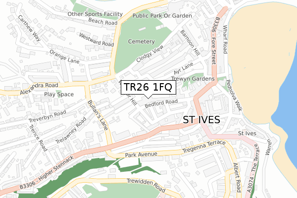
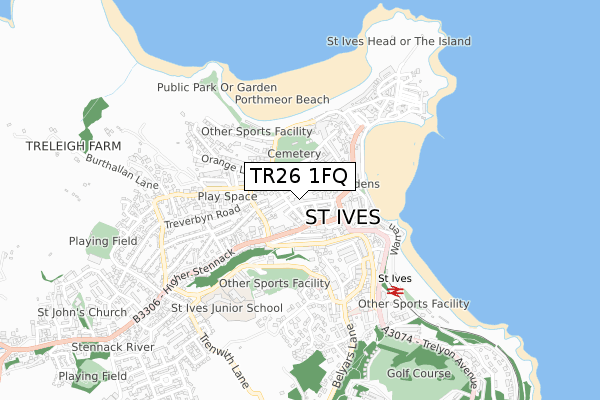
TR26 1FQ is located in the St Ives West & Towednack electoral ward, within the unitary authority of Cornwall and the English Parliamentary constituency of St Ives. The Sub Integrated Care Board (ICB) Location is NHS Cornwall and the Isles of Scilly ICB - 11N and the police force is Devon & Cornwall. This postcode has been in use since February 2018.


GetTheData
Source: OS Open Zoomstack (Ordnance Survey)
Licence: Open Government Licence (requires attribution)
Attribution: Contains OS data © Crown copyright and database right 2025
Source: Open Postcode Geo
Licence: Open Government Licence (requires attribution)
Attribution: Contains OS data © Crown copyright and database right 2025; Contains Royal Mail data © Royal Mail copyright and database right 2025; Source: Office for National Statistics licensed under the Open Government Licence v.3.0
| Easting | 151576 |
| Northing | 40471 |
| Latitude | 50.211967 |
| Longitude | -5.483378 |
GetTheData
Source: Open Postcode Geo
Licence: Open Government Licence
| Country | England |
| Postcode District | TR26 |
➜ See where TR26 is on a map ➜ Where is St Ives? | |
GetTheData
Source: Land Registry Price Paid Data
Licence: Open Government Licence
| Ward | St Ives West & Towednack |
| Constituency | St Ives |
GetTheData
Source: ONS Postcode Database
Licence: Open Government Licence
| Cinema (Chapel Street) | St Ives | 123m |
| Cinema | St Ives | 131m |
| Stennack Surgery (The Stennack) | St Ives | 137m |
| Royal Square (Gabriel Street) | St Ives | 144m |
| Stennack Surgery (The Stennack) | St Ives | 148m |
| St Ives (Cornwall) Station | 0.5km |
| Carbis Bay Station | 2.2km |
| Lelant Station | 4.6km |
GetTheData
Source: NaPTAN
Licence: Open Government Licence
GetTheData
Source: ONS Postcode Database
Licence: Open Government Licence


➜ Get more ratings from the Food Standards Agency
GetTheData
Source: Food Standards Agency
Licence: FSA terms & conditions
| Last Collection | |||
|---|---|---|---|
| Location | Mon-Fri | Sat | Distance |
| St Ives Post Office | 18:15 | 12:00 | 154m |
| Ventnor Terrace | 16:45 | 11:30 | 155m |
| Fore Street | 17:00 | 11:30 | 263m |
GetTheData
Source: Dracos
Licence: Creative Commons Attribution-ShareAlike
The below table lists the International Territorial Level (ITL) codes (formerly Nomenclature of Territorial Units for Statistics (NUTS) codes) and Local Administrative Units (LAU) codes for TR26 1FQ:
| ITL 1 Code | Name |
|---|---|
| TLK | South West (England) |
| ITL 2 Code | Name |
| TLK3 | Cornwall and Isles of Scilly |
| ITL 3 Code | Name |
| TLK30 | Cornwall and Isles of Scilly |
| LAU 1 Code | Name |
| E06000052 | Cornwall |
GetTheData
Source: ONS Postcode Directory
Licence: Open Government Licence
The below table lists the Census Output Area (OA), Lower Layer Super Output Area (LSOA), and Middle Layer Super Output Area (MSOA) for TR26 1FQ:
| Code | Name | |
|---|---|---|
| OA | E00096057 | |
| LSOA | E01019012 | Cornwall 054E |
| MSOA | E02003943 | Cornwall 054 |
GetTheData
Source: ONS Postcode Directory
Licence: Open Government Licence
| TR26 1SP | Bedford Road | 40m |
| TR26 1DS | Carrack Dhu | 59m |
| TR26 1SJ | Pearces Court | 59m |
| TR26 1SL | Wesley Place | 61m |
| TR26 1SW | Bedford Road | 67m |
| TR26 1SH | Bedford Place | 80m |
| TR26 1SQ | Wesley Passage | 90m |
| TR26 1DR | Kenwyn Place | 91m |
| TR26 1DP | Windsor Terrace | 92m |
| TR26 1SR | Drillfield Lane | 92m |
GetTheData
Source: Open Postcode Geo; Land Registry Price Paid Data
Licence: Open Government Licence