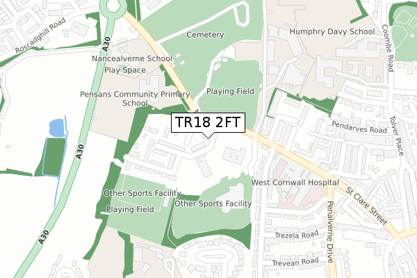
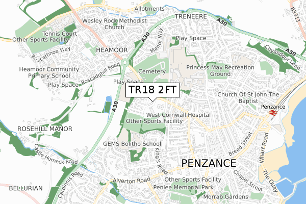
TR18 2FT is located in the Penzance Promenade electoral ward, within the unitary authority of Cornwall and the English Parliamentary constituency of St Ives. The Sub Integrated Care Board (ICB) Location is NHS Cornwall and the Isles of Scilly ICB - 11N and the police force is Devon & Cornwall. This postcode has been in use since December 2019.


GetTheData
Source: OS Open Zoomstack (Ordnance Survey)
Licence: Open Government Licence (requires attribution)
Attribution: Contains OS data © Crown copyright and database right 2025
Source: Open Postcode Geo
Licence: Open Government Licence (requires attribution)
Attribution: Contains OS data © Crown copyright and database right 2025; Contains Royal Mail data © Royal Mail copyright and database right 2025; Source: Office for National Statistics licensed under the Open Government Licence v.3.0
| Easting | 146640 |
| Northing | 30776 |
| Latitude | 50.122847 |
| Longitude | -5.545973 |
GetTheData
Source: Open Postcode Geo
Licence: Open Government Licence
| Country | England |
| Postcode District | TR18 |
➜ See where TR18 is on a map ➜ Where is Penzance? | |
GetTheData
Source: Land Registry Price Paid Data
Licence: Open Government Licence
| Ward | Penzance Promenade |
| Constituency | St Ives |
GetTheData
Source: ONS Postcode Database
Licence: Open Government Licence
| St Clare (Nancealverne) | Penzance | 27m |
| St Clare | Penzance | 78m |
| Pink Lodge (Nancealverne Road) | Penzance | 271m |
| Pink Lodge | Penzance | 301m |
| West Cornwall Hospital (Penalverne Drive) | Penzance | 333m |
| Penzance Station | 1km |
GetTheData
Source: NaPTAN
Licence: Open Government Licence
GetTheData
Source: ONS Postcode Database
Licence: Open Government Licence


➜ Get more ratings from the Food Standards Agency
GetTheData
Source: Food Standards Agency
Licence: FSA terms & conditions
| Last Collection | |||
|---|---|---|---|
| Location | Mon-Fri | Sat | Distance |
| St Clare Street Post Office | 17:30 | 11:30 | 290m |
| Penhalverne Drive | 17:30 | 11:30 | 416m |
| Manor Way | 16:00 | 11:30 | 430m |
GetTheData
Source: Dracos
Licence: Creative Commons Attribution-ShareAlike
The below table lists the International Territorial Level (ITL) codes (formerly Nomenclature of Territorial Units for Statistics (NUTS) codes) and Local Administrative Units (LAU) codes for TR18 2FT:
| ITL 1 Code | Name |
|---|---|
| TLK | South West (England) |
| ITL 2 Code | Name |
| TLK3 | Cornwall and Isles of Scilly |
| ITL 3 Code | Name |
| TLK30 | Cornwall and Isles of Scilly |
| LAU 1 Code | Name |
| E06000052 | Cornwall |
GetTheData
Source: ONS Postcode Directory
Licence: Open Government Licence
The below table lists the Census Output Area (OA), Lower Layer Super Output Area (LSOA), and Middle Layer Super Output Area (MSOA) for TR18 2FT:
| Code | Name | |
|---|---|---|
| OA | E00095969 | |
| LSOA | E01018994 | Cornwall 067C |
| MSOA | E02003948 | Cornwall 067 |
GetTheData
Source: ONS Postcode Directory
Licence: Open Government Licence
| TR18 2PH | Treneere Road | 160m |
| TR18 2RY | Parc Wartha Avenue | 170m |
| TR18 2PJ | St Michaels Terrace | 184m |
| TR18 2QE | Jack Stephens Estate | 216m |
| TR18 2PL | Pendarves Flats | 256m |
| TR18 4JN | Landeryon Gardens | 262m |
| TR18 2RX | Parc Wartha Crescent | 286m |
| TR18 2RL | Penalverne Avenue | 290m |
| TR18 2PN | St Clare Terrace | 305m |
| TR18 2RU | Trezela Road | 315m |
GetTheData
Source: Open Postcode Geo; Land Registry Price Paid Data
Licence: Open Government Licence