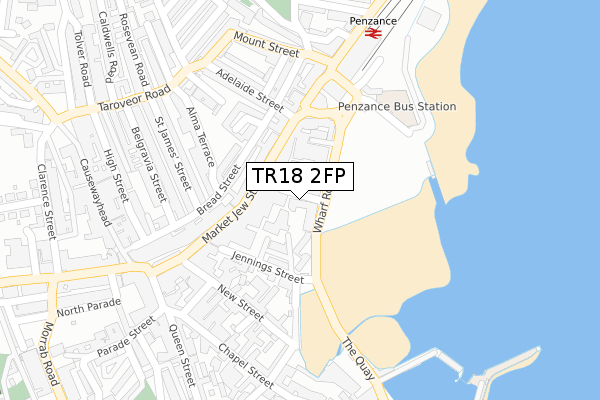
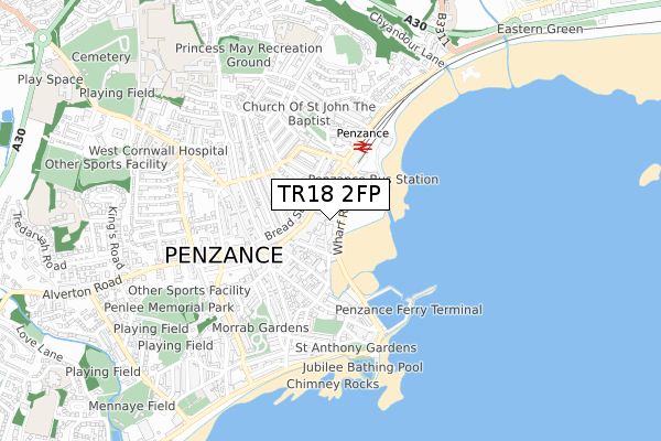
TR18 2FP is located in the Penzance Promenade electoral ward, within the unitary authority of Cornwall and the English Parliamentary constituency of St Ives. The Sub Integrated Care Board (ICB) Location is NHS Cornwall and the Isles of Scilly ICB - 11N and the police force is Devon & Cornwall. This postcode has been in use since April 2019.


GetTheData
Source: OS Open Zoomstack (Ordnance Survey)
Licence: Open Government Licence (requires attribution)
Attribution: Contains OS data © Crown copyright and database right 2024
Source: Open Postcode Geo
Licence: Open Government Licence (requires attribution)
Attribution: Contains OS data © Crown copyright and database right 2024; Contains Royal Mail data © Royal Mail copyright and database right 2024; Source: Office for National Statistics licensed under the Open Government Licence v.3.0
| Easting | 147495 |
| Northing | 30392 |
| Latitude | 50.119765 |
| Longitude | -5.533781 |
GetTheData
Source: Open Postcode Geo
Licence: Open Government Licence
| Country | England |
| Postcode District | TR18 |
➜ See where TR18 is on a map ➜ Where is Penzance? | |
GetTheData
Source: Land Registry Price Paid Data
Licence: Open Government Licence
| Ward | Penzance Promenade |
| Constituency | St Ives |
GetTheData
Source: ONS Postcode Database
Licence: Open Government Licence
| Town Centre (Market Jew Street) | Penzance | 80m |
| Town Centre (Market Jew Street) | Penzance | 139m |
| Adelaide Street | Penzance | 152m |
| Albert Pier Road | Penzance | 195m |
| Green Market (Alverton Street) | Penzance | 325m |
| Penzance Station | 0.2km |
GetTheData
Source: NaPTAN
Licence: Open Government Licence
GetTheData
Source: ONS Postcode Database
Licence: Open Government Licence


➜ Get more ratings from the Food Standards Agency
GetTheData
Source: Food Standards Agency
Licence: FSA terms & conditions
| Last Collection | |||
|---|---|---|---|
| Location | Mon-Fri | Sat | Distance |
| Penzance Post Office | 18:00 | 12:30 | 177m |
| Railway Station | 17:40 | 11:30 | 223m |
| Taroveor Road | 17:40 | 11:30 | 293m |
GetTheData
Source: Dracos
Licence: Creative Commons Attribution-ShareAlike
The below table lists the International Territorial Level (ITL) codes (formerly Nomenclature of Territorial Units for Statistics (NUTS) codes) and Local Administrative Units (LAU) codes for TR18 2FP:
| ITL 1 Code | Name |
|---|---|
| TLK | South West (England) |
| ITL 2 Code | Name |
| TLK3 | Cornwall and Isles of Scilly |
| ITL 3 Code | Name |
| TLK30 | Cornwall and Isles of Scilly |
| LAU 1 Code | Name |
| E06000052 | Cornwall |
GetTheData
Source: ONS Postcode Directory
Licence: Open Government Licence
The below table lists the Census Output Area (OA), Lower Layer Super Output Area (LSOA), and Middle Layer Super Output Area (MSOA) for TR18 2FP:
| Code | Name | |
|---|---|---|
| OA | E00095982 | |
| LSOA | E01018999 | Cornwall 068C |
| MSOA | E02003949 | Cornwall 068 |
GetTheData
Source: ONS Postcode Directory
Licence: Open Government Licence
| TR18 2GA | Wharfside Village | 58m |
| TR18 2LG | Market Jew Street | 84m |
| TR18 2GZ | Jennings Street | 89m |
| TR18 2HR | Market Jew Street | 90m |
| TR18 2LE | Market Jew Street | 93m |
| TR18 2HT | Market Jew Street | 108m |
| TR18 2FE | Bread Street | 110m |
| TR18 2EH | Bread Street | 111m |
| TR18 2LU | Jennings Street | 114m |
| TR18 2HW | The Arcade | 124m |
GetTheData
Source: Open Postcode Geo; Land Registry Price Paid Data
Licence: Open Government Licence