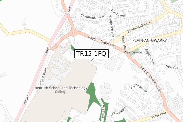
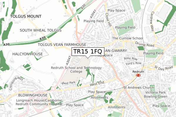
TR15 1FQ is located in the Redruth North electoral ward, within the unitary authority of Cornwall and the English Parliamentary constituency of Camborne and Redruth. The Sub Integrated Care Board (ICB) Location is NHS Cornwall and the Isles of Scilly ICB - 11N and the police force is Devon & Cornwall. This postcode has been in use since February 2020.


GetTheData
Source: OS Open Zoomstack (Ordnance Survey)
Licence: Open Government Licence (requires attribution)
Attribution: Contains OS data © Crown copyright and database right 2025
Source: Open Postcode Geo
Licence: Open Government Licence (requires attribution)
Attribution: Contains OS data © Crown copyright and database right 2025; Contains Royal Mail data © Royal Mail copyright and database right 2025; Source: Office for National Statistics licensed under the Open Government Licence v.3.0
| Easting | 169333 |
| Northing | 42252 |
| Latitude | 50.235148 |
| Longitude | -5.236008 |
GetTheData
Source: Open Postcode Geo
Licence: Open Government Licence
| Country | England |
| Postcode District | TR15 |
➜ See where TR15 is on a map ➜ Where is Redruth? | |
GetTheData
Source: Land Registry Price Paid Data
Licence: Open Government Licence
| Ward | Redruth North |
| Constituency | Camborne And Redruth |
GetTheData
Source: ONS Postcode Database
Licence: Open Government Licence
| Tesco (Tolgus Hill) | Redruth | 110m |
| Tesco (Tolgus Hill) | Redruth | 120m |
| Treleigh Terrace | Redruth | 243m |
| Redruth School | Redruth | 256m |
| Plain-an-gwarry | Redruth | 264m |
| Redruth Station | 0.7km |
| Camborne Station | 5.2km |
GetTheData
Source: NaPTAN
Licence: Open Government Licence
GetTheData
Source: ONS Postcode Database
Licence: Open Government Licence


➜ Get more ratings from the Food Standards Agency
GetTheData
Source: Food Standards Agency
Licence: FSA terms & conditions
| Last Collection | |||
|---|---|---|---|
| Location | Mon-Fri | Sat | Distance |
| Redruth Post Office | 18:30 | 12:15 | 692m |
| West Trewirgie | 17:45 | 09:00 | 721m |
| Churchtown | 17:45 | 09:30 | 928m |
GetTheData
Source: Dracos
Licence: Creative Commons Attribution-ShareAlike
The below table lists the International Territorial Level (ITL) codes (formerly Nomenclature of Territorial Units for Statistics (NUTS) codes) and Local Administrative Units (LAU) codes for TR15 1FQ:
| ITL 1 Code | Name |
|---|---|
| TLK | South West (England) |
| ITL 2 Code | Name |
| TLK3 | Cornwall and Isles of Scilly |
| ITL 3 Code | Name |
| TLK30 | Cornwall and Isles of Scilly |
| LAU 1 Code | Name |
| E06000052 | Cornwall |
GetTheData
Source: ONS Postcode Directory
Licence: Open Government Licence
The below table lists the Census Output Area (OA), Lower Layer Super Output Area (LSOA), and Middle Layer Super Output Area (MSOA) for TR15 1FQ:
| Code | Name | |
|---|---|---|
| OA | E00095473 | |
| LSOA | E01018911 | Cornwall 046D |
| MSOA | E02003919 | Cornwall 046 |
GetTheData
Source: ONS Postcode Directory
Licence: Open Government Licence
| TR15 1AS | Little Vauxhall | 107m |
| TR15 1DU | Plain An Gwarry | 158m |
| TR15 1DR | Carbis Court | 163m |
| TR15 1AX | Tolgus Hill | 168m |
| TR15 1JE | Plain An Gwarry | 189m |
| TR15 1JF | Rose Hill | 191m |
| TR15 1DS | Treleigh Villas | 196m |
| TR15 1DT | Plain An Gwarry | 197m |
| TR15 1DJ | Church Walk | 212m |
| TR15 1JG | Rose Hill | 215m |
GetTheData
Source: Open Postcode Geo; Land Registry Price Paid Data
Licence: Open Government Licence