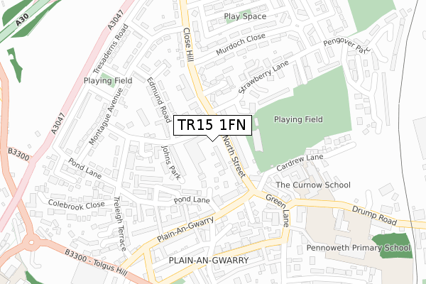
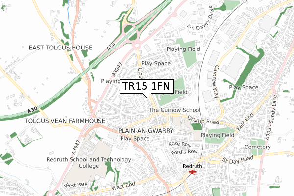
TR15 1FN is located in the Redruth North electoral ward, within the unitary authority of Cornwall and the English Parliamentary constituency of Camborne and Redruth. The Sub Integrated Care Board (ICB) Location is NHS Cornwall and the Isles of Scilly ICB - 11N and the police force is Devon & Cornwall. This postcode has been in use since November 2019.


GetTheData
Source: OS Open Zoomstack (Ordnance Survey)
Licence: Open Government Licence (requires attribution)
Attribution: Contains OS data © Crown copyright and database right 2025
Source: Open Postcode Geo
Licence: Open Government Licence (requires attribution)
Attribution: Contains OS data © Crown copyright and database right 2025; Contains Royal Mail data © Royal Mail copyright and database right 2025; Source: Office for National Statistics licensed under the Open Government Licence v.3.0
| Easting | 169666 |
| Northing | 42634 |
| Latitude | 50.238708 |
| Longitude | -5.231579 |
GetTheData
Source: Open Postcode Geo
Licence: Open Government Licence
| Country | England |
| Postcode District | TR15 |
➜ See where TR15 is on a map ➜ Where is Redruth? | |
GetTheData
Source: Land Registry Price Paid Data
Licence: Open Government Licence
| Ward | Redruth North |
| Constituency | Camborne And Redruth |
GetTheData
Source: ONS Postcode Database
Licence: Open Government Licence
| Ambulance Station (Close Hill) | Redruth | 159m |
| Ambulance Station (Close Hill) | Redruth | 172m |
| Strawberry Lane | Redruth | 214m |
| Strawberry Lane | Redruth | 220m |
| Plain-an-gwarry | Redruth | 248m |
| Redruth Station | 0.7km |
| Camborne Station | 5.7km |
GetTheData
Source: NaPTAN
Licence: Open Government Licence
GetTheData
Source: ONS Postcode Database
Licence: Open Government Licence


➜ Get more ratings from the Food Standards Agency
GetTheData
Source: Food Standards Agency
Licence: FSA terms & conditions
| Last Collection | |||
|---|---|---|---|
| Location | Mon-Fri | Sat | Distance |
| Redruth Post Office | 18:30 | 12:15 | 666m |
| West Trewirgie | 17:45 | 09:00 | 1,082m |
| Albany Road | 17:00 | 10:00 | 1,122m |
GetTheData
Source: Dracos
Licence: Creative Commons Attribution-ShareAlike
The below table lists the International Territorial Level (ITL) codes (formerly Nomenclature of Territorial Units for Statistics (NUTS) codes) and Local Administrative Units (LAU) codes for TR15 1FN:
| ITL 1 Code | Name |
|---|---|
| TLK | South West (England) |
| ITL 2 Code | Name |
| TLK3 | Cornwall and Isles of Scilly |
| ITL 3 Code | Name |
| TLK30 | Cornwall and Isles of Scilly |
| LAU 1 Code | Name |
| E06000052 | Cornwall |
GetTheData
Source: ONS Postcode Directory
Licence: Open Government Licence
The below table lists the Census Output Area (OA), Lower Layer Super Output Area (LSOA), and Middle Layer Super Output Area (MSOA) for TR15 1FN:
| Code | Name | |
|---|---|---|
| OA | E00095475 | |
| LSOA | E01018909 | Cornwall 046B |
| MSOA | E02003919 | Cornwall 046 |
GetTheData
Source: ONS Postcode Directory
Licence: Open Government Licence
| TR15 1HR | Bartles Industrial Estate | 48m |
| TR15 1HJ | North Street | 49m |
| TR15 1BD | Pond Lanes End | 92m |
| TR15 1HN | Manor Terrace | 97m |
| TR15 1EP | Close Hill | 117m |
| TR15 1AQ | Strawberry Lane | 120m |
| TR15 1DX | Johns Park | 127m |
| TR15 1HW | Elm Terrace | 132m |
| TR15 1HP | Plain An Gwarry | 134m |
| TR15 1AE | Plain An Gwarry | 136m |
GetTheData
Source: Open Postcode Geo; Land Registry Price Paid Data
Licence: Open Government Licence