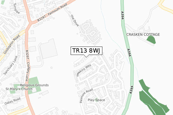
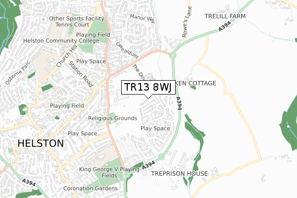
TR13 8WJ is located in the Helston South & Meneage electoral ward, within the unitary authority of Cornwall and the English Parliamentary constituency of St Ives. The Sub Integrated Care Board (ICB) Location is NHS Cornwall and the Isles of Scilly ICB - 11N and the police force is Devon & Cornwall. This postcode has been in use since December 2019.


GetTheData
Source: OS Open Zoomstack (Ordnance Survey)
Licence: Open Government Licence (requires attribution)
Attribution: Contains OS data © Crown copyright and database right 2025
Source: Open Postcode Geo
Licence: Open Government Licence (requires attribution)
Attribution: Contains OS data © Crown copyright and database right 2025; Contains Royal Mail data © Royal Mail copyright and database right 2025; Source: Office for National Statistics licensed under the Open Government Licence v.3.0
| Easting | 166796 |
| Northing | 27824 |
| Latitude | 50.104604 |
| Longitude | -5.262683 |
GetTheData
Source: Open Postcode Geo
Licence: Open Government Licence
| Country | England |
| Postcode District | TR13 |
➜ See where TR13 is on a map ➜ Where is Helston? | |
GetTheData
Source: Land Registry Price Paid Data
Licence: Open Government Licence
| Ward | Helston South & Meneage |
| Constituency | St Ives |
GetTheData
Source: ONS Postcode Database
Licence: Open Government Licence
2022 16 DEC £360,000 |
2022 28 OCT £350,000 |
2022 15 FEB £405,000 |
2021 8 NOV £320,000 |
11, SIKA DRIVE, HELSTON, TR13 8WJ 2021 21 SEP £449,950 |
12, SIKA DRIVE, HELSTON, TR13 8WJ 2021 30 JUN £395,000 |
14, SIKA DRIVE, HELSTON, TR13 8WJ 2021 14 MAY £260,000 |
13, SIKA DRIVE, HELSTON, TR13 8WJ 2021 30 APR £375,000 |
17, SIKA DRIVE, HELSTON, TR13 8WJ 2021 12 MAR £375,000 |
15, SIKA DRIVE, HELSTON, TR13 8WJ 2021 12 FEB £375,000 |
GetTheData
Source: HM Land Registry Price Paid Data
Licence: Contains HM Land Registry data © Crown copyright and database right 2025. This data is licensed under the Open Government Licence v3.0.
| Tesco | Helston | 216m |
| Tyre Centre (Clodgey Lane) | Helston | 303m |
| Gweal Dues Entrance (Falmouth Road) | Helston | 339m |
| Gweal Dues Entrance (Falmouth Road) | Helston | 349m |
| Roskilling Wartha (Gwealdues) | Helston | 353m |
GetTheData
Source: NaPTAN
Licence: Open Government Licence
GetTheData
Source: ONS Postcode Database
Licence: Open Government Licence


➜ Get more ratings from the Food Standards Agency
GetTheData
Source: Food Standards Agency
Licence: FSA terms & conditions
| Last Collection | |||
|---|---|---|---|
| Location | Mon-Fri | Sat | Distance |
| Tesco (Clodgey Lane) | 17:15 | 11:00 | 168m |
| Church Hill | 17:15 | 11:00 | 907m |
| Church Street | 17:25 | 11:00 | 947m |
GetTheData
Source: Dracos
Licence: Creative Commons Attribution-ShareAlike
The below table lists the International Territorial Level (ITL) codes (formerly Nomenclature of Territorial Units for Statistics (NUTS) codes) and Local Administrative Units (LAU) codes for TR13 8WJ:
| ITL 1 Code | Name |
|---|---|
| TLK | South West (England) |
| ITL 2 Code | Name |
| TLK3 | Cornwall and Isles of Scilly |
| ITL 3 Code | Name |
| TLK30 | Cornwall and Isles of Scilly |
| LAU 1 Code | Name |
| E06000052 | Cornwall |
GetTheData
Source: ONS Postcode Directory
Licence: Open Government Licence
The below table lists the Census Output Area (OA), Lower Layer Super Output Area (LSOA), and Middle Layer Super Output Area (MSOA) for TR13 8WJ:
| Code | Name | |
|---|---|---|
| OA | E00172786 | |
| LSOA | E01018888 | Cornwall 071G |
| MSOA | E02003928 | Cornwall 071 |
GetTheData
Source: ONS Postcode Directory
Licence: Open Government Licence
| TR13 8FQ | Hawkins Way | 115m |
| TR13 8FY | Hawkins Way | 180m |
| TR13 8ED | Pasmore Road | 181m |
| TR13 8FW | Plover Avenue | 219m |
| TR13 8WF | Hellis Wartha | 294m |
| TR13 8JT | Falmouth Road | 296m |
| TR13 8GU | Tregarrick View | 310m |
| TR13 8JU | Falmouth Road | 327m |
| TR13 8PJ | Clodgey Lane | 335m |
| TR13 8UL | Sanctuary Lane | 345m |
GetTheData
Source: Open Postcode Geo; Land Registry Price Paid Data
Licence: Open Government Licence