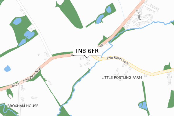
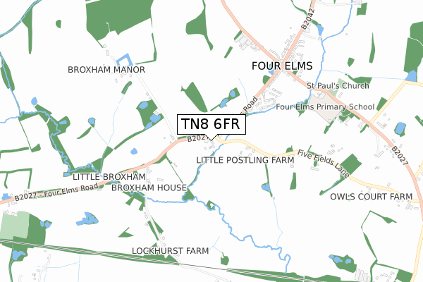
TN8 6FR is located in the Cowden and Hever electoral ward, within the local authority district of Sevenoaks and the English Parliamentary constituency of Tonbridge and Malling. The Sub Integrated Care Board (ICB) Location is NHS Kent and Medway ICB - 91Q and the police force is Kent. This postcode has been in use since April 2018.


GetTheData
Source: OS Open Zoomstack (Ordnance Survey)
Licence: Open Government Licence (requires attribution)
Attribution: Contains OS data © Crown copyright and database right 2025
Source: Open Postcode Geo
Licence: Open Government Licence (requires attribution)
Attribution: Contains OS data © Crown copyright and database right 2025; Contains Royal Mail data © Royal Mail copyright and database right 2025; Source: Office for National Statistics licensed under the Open Government Licence v.3.0
| Easting | 546278 |
| Northing | 147933 |
| Latitude | 51.211871 |
| Longitude | 0.092870 |
GetTheData
Source: Open Postcode Geo
Licence: Open Government Licence
| Country | England |
| Postcode District | TN8 |
➜ See where TN8 is on a map | |
GetTheData
Source: Land Registry Price Paid Data
Licence: Open Government Licence
| Ward | Cowden And Hever |
| Constituency | Tonbridge And Malling |
GetTheData
Source: ONS Postcode Database
Licence: Open Government Licence
| Brookfield (Four Elms Road) | Four Elms | 476m |
| Brookfield (Four Elms Road) | Four Elms | 531m |
| Four Elms Crossroads (Ide Hill Road) | Four Elms | 645m |
| Four Elms Crossroads (Ide Hill Road) | Four Elms | 654m |
| Crown Road (Swan Lane) | Edenbridge | 1,430m |
| Edenbridge Town Station | 2.2km |
| Edenbridge Station | 2.3km |
| Hever Station | 3.4km |
GetTheData
Source: NaPTAN
Licence: Open Government Licence
| Percentage of properties with Next Generation Access | 100.0% |
| Percentage of properties with Superfast Broadband | 100.0% |
| Percentage of properties with Ultrafast Broadband | 0.0% |
| Percentage of properties with Full Fibre Broadband | 0.0% |
Superfast Broadband is between 30Mbps and 300Mbps
Ultrafast Broadband is > 300Mbps
| Percentage of properties unable to receive 2Mbps | 0.0% |
| Percentage of properties unable to receive 5Mbps | 0.0% |
| Percentage of properties unable to receive 10Mbps | 0.0% |
| Percentage of properties unable to receive 30Mbps | 0.0% |
GetTheData
Source: Ofcom
Licence: Ofcom Terms of Use (requires attribution)
GetTheData
Source: ONS Postcode Database
Licence: Open Government Licence


➜ Get more ratings from the Food Standards Agency
GetTheData
Source: Food Standards Agency
Licence: FSA terms & conditions
| Last Collection | |||
|---|---|---|---|
| Location | Mon-Fri | Sat | Distance |
| Piggots Cross | 16:30 | 09:00 | 1,071m |
| Pootings | 16:30 | 09:00 | 1,494m |
| How Green | 16:00 | 09:15 | 2,192m |
GetTheData
Source: Dracos
Licence: Creative Commons Attribution-ShareAlike
The below table lists the International Territorial Level (ITL) codes (formerly Nomenclature of Territorial Units for Statistics (NUTS) codes) and Local Administrative Units (LAU) codes for TN8 6FR:
| ITL 1 Code | Name |
|---|---|
| TLJ | South East (England) |
| ITL 2 Code | Name |
| TLJ4 | Kent |
| ITL 3 Code | Name |
| TLJ46 | West Kent |
| LAU 1 Code | Name |
| E07000111 | Sevenoaks |
GetTheData
Source: ONS Postcode Directory
Licence: Open Government Licence
The below table lists the Census Output Area (OA), Lower Layer Super Output Area (LSOA), and Middle Layer Super Output Area (MSOA) for TN8 6FR:
| Code | Name | |
|---|---|---|
| OA | E00123964 | |
| LSOA | E01024420 | Sevenoaks 015A |
| MSOA | E02005101 | Sevenoaks 015 |
GetTheData
Source: ONS Postcode Directory
Licence: Open Government Licence
| TN8 6NG | Four Elms Road | 53m |
| TN8 6NQ | Four Elms Road | 318m |
| TN8 6NH | Hillcrest | 400m |
| TN8 6LS | Four Elms Road | 473m |
| TN8 6NJ | Brookfield | 477m |
| TN8 6NA | Five Fields Lane | 480m |
| TN8 6NL | Four Elms Road | 544m |
| TN8 6LU | Pretty Mans Lane | 624m |
| TN8 6NE | Bough Beech Road | 635m |
| TN8 6PH | Furze Bank | 640m |
GetTheData
Source: Open Postcode Geo; Land Registry Price Paid Data
Licence: Open Government Licence