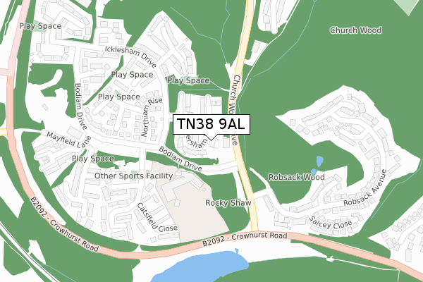
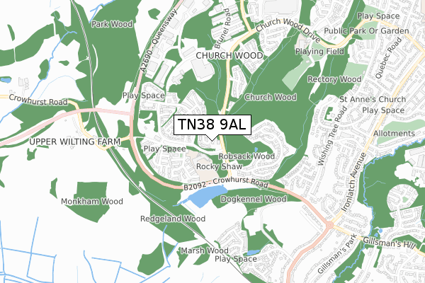
TN38 9AL is located in the Hollington electoral ward, within the local authority district of Hastings and the English Parliamentary constituency of Hastings and Rye. The Sub Integrated Care Board (ICB) Location is NHS Sussex ICB - 97R and the police force is Sussex. This postcode has been in use since October 2017.


GetTheData
Source: OS Open Zoomstack (Ordnance Survey)
Licence: Open Government Licence (requires attribution)
Attribution: Contains OS data © Crown copyright and database right 2024
Source: Open Postcode Geo
Licence: Open Government Licence (requires attribution)
Attribution: Contains OS data © Crown copyright and database right 2024; Contains Royal Mail data © Royal Mail copyright and database right 2024; Source: Office for National Statistics licensed under the Open Government Licence v.3.0
| Easting | 578102 |
| Northing | 110914 |
| Latitude | 50.870286 |
| Longitude | 0.529866 |
GetTheData
Source: Open Postcode Geo
Licence: Open Government Licence
| Country | England |
| Postcode District | TN38 |
➜ See where TN38 is on a map | |
GetTheData
Source: Land Registry Price Paid Data
Licence: Open Government Licence
| Ward | Hollington |
| Constituency | Hastings And Rye |
GetTheData
Source: ONS Postcode Database
Licence: Open Government Licence
| Bodiam Drive (Church Wood Drive) | Hollington | 44m |
| Rocky Shaw (Bodiam Drive) | Hollington | 73m |
| Bodiam Drive (Church Wood Drive) | Hollington | 142m |
| Hartfield Meadow (Icklesham Drive) | Hollington | 180m |
| Whatlington Way (Bodiam Drive) | Hollington | 187m |
| West St Leonards Station | 2km |
| St Leonards Warrior Square Station | 2.7km |
| Crowhurst Station | 2.9km |
GetTheData
Source: NaPTAN
Licence: Open Government Licence
GetTheData
Source: ONS Postcode Database
Licence: Open Government Licence


➜ Get more ratings from the Food Standards Agency
GetTheData
Source: Food Standards Agency
Licence: FSA terms & conditions
| Last Collection | |||
|---|---|---|---|
| Location | Mon-Fri | Sat | Distance |
| Robsack | 17:30 | 12:15 | 156m |
| Whatlington Way | 17:30 | 12:15 | 199m |
| Wishing Tree Lane | 17:45 | 12:00 | 670m |
GetTheData
Source: Dracos
Licence: Creative Commons Attribution-ShareAlike
The below table lists the International Territorial Level (ITL) codes (formerly Nomenclature of Territorial Units for Statistics (NUTS) codes) and Local Administrative Units (LAU) codes for TN38 9AL:
| ITL 1 Code | Name |
|---|---|
| TLJ | South East (England) |
| ITL 2 Code | Name |
| TLJ2 | Surrey, East and West Sussex |
| ITL 3 Code | Name |
| TLJ22 | East Sussex CC |
| LAU 1 Code | Name |
| E07000062 | Hastings |
GetTheData
Source: ONS Postcode Directory
Licence: Open Government Licence
The below table lists the Census Output Area (OA), Lower Layer Super Output Area (LSOA), and Middle Layer Super Output Area (MSOA) for TN38 9AL:
| Code | Name | |
|---|---|---|
| OA | E00106605 | |
| LSOA | E01020996 | Hastings 003D |
| MSOA | E02004370 | Hastings 003 |
GetTheData
Source: ONS Postcode Directory
Licence: Open Government Licence
| TN38 9PW | Wittersham Rise | 16m |
| TN38 9PT | Wittersham Rise | 63m |
| TN38 9PX | Warwick Place | 104m |
| TN38 9FA | Northiam Rise | 147m |
| TN38 9TB | Catsfield Close | 225m |
| TN38 9TQ | Dittons Mews | 251m |
| TN38 9TL | Kensington Close | 255m |
| TN38 9TA | Beckley Close | 260m |
| TN38 9UD | Hartfield Meadow | 263m |
| TN38 9SQ | Robsack Avenue | 263m |
GetTheData
Source: Open Postcode Geo; Land Registry Price Paid Data
Licence: Open Government Licence