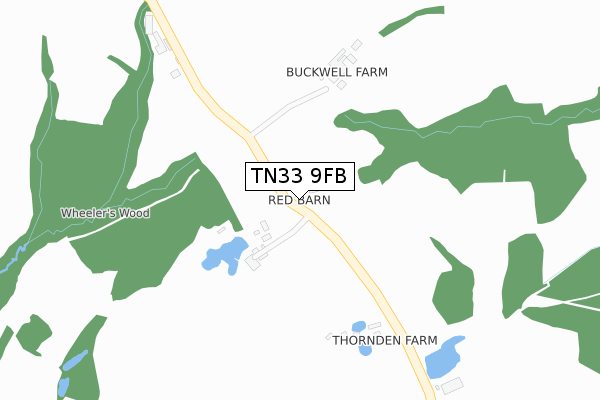
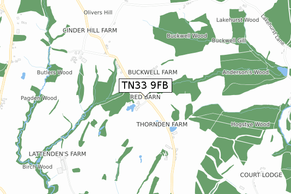
TN33 9FB is located in the Catsfield & Crowhurst electoral ward, within the local authority district of Rother and the English Parliamentary constituency of Bexhill and Battle. The Sub Integrated Care Board (ICB) Location is NHS Sussex ICB - 97R and the police force is Sussex. This postcode has been in use since April 2020.


GetTheData
Source: OS Open Zoomstack (Ordnance Survey)
Licence: Open Government Licence (requires attribution)
Attribution: Contains OS data © Crown copyright and database right 2025
Source: Open Postcode Geo
Licence: Open Government Licence (requires attribution)
Attribution: Contains OS data © Crown copyright and database right 2025; Contains Royal Mail data © Royal Mail copyright and database right 2025; Source: Office for National Statistics licensed under the Open Government Licence v.3.0
| Easting | 567465 |
| Northing | 116701 |
| Latitude | 50.925456 |
| Longitude | 0.381487 |
GetTheData
Source: Open Postcode Geo
Licence: Open Government Licence
| Country | England |
| Postcode District | TN33 |
➜ See where TN33 is on a map | |
GetTheData
Source: Land Registry Price Paid Data
Licence: Open Government Licence
| Ward | Catsfield & Crowhurst |
| Constituency | Bexhill And Battle |
GetTheData
Source: ONS Postcode Database
Licence: Open Government Licence
GetTheData
Source: ONS Postcode Database
Licence: Open Government Licence


➜ Get more ratings from the Food Standards Agency
GetTheData
Source: Food Standards Agency
Licence: FSA terms & conditions
| Last Collection | |||
|---|---|---|---|
| Location | Mon-Fri | Sat | Distance |
| The Forge | 16:30 | 11:15 | 1,362m |
| Brown Bread Street | 16:30 | 10:00 | 1,793m |
| Dallington Post Office | 17:00 | 09:00 | 2,947m |
GetTheData
Source: Dracos
Licence: Creative Commons Attribution-ShareAlike
The below table lists the International Territorial Level (ITL) codes (formerly Nomenclature of Territorial Units for Statistics (NUTS) codes) and Local Administrative Units (LAU) codes for TN33 9FB:
| ITL 1 Code | Name |
|---|---|
| TLJ | South East (England) |
| ITL 2 Code | Name |
| TLJ2 | Surrey, East and West Sussex |
| ITL 3 Code | Name |
| TLJ22 | East Sussex CC |
| LAU 1 Code | Name |
| E07000064 | Rother |
GetTheData
Source: ONS Postcode Directory
Licence: Open Government Licence
The below table lists the Census Output Area (OA), Lower Layer Super Output Area (LSOA), and Middle Layer Super Output Area (MSOA) for TN33 9FB:
| Code | Name | |
|---|---|---|
| OA | E00107155 | |
| LSOA | E01021096 | Rother 006D |
| MSOA | E02004397 | Rother 006 |
GetTheData
Source: ONS Postcode Directory
Licence: Open Government Licence
| TN33 9PJ | Court Lodge Cottages | 817m |
| TN33 9PD | Normanby Cliff Road | 1031m |
| TN33 9PB | 1088m | |
| TN33 9PG | The Furnace | 1096m |
| TN33 9PE | 1155m | |
| TN33 9LW | Akehurst Field | 1267m |
| TN33 9PH | The Forge | 1406m |
| TN21 9NR | Redpale | 1540m |
| TN33 9QR | 1579m | |
| BN27 4RJ | Bodle Street | 1661m |
GetTheData
Source: Open Postcode Geo; Land Registry Price Paid Data
Licence: Open Government Licence