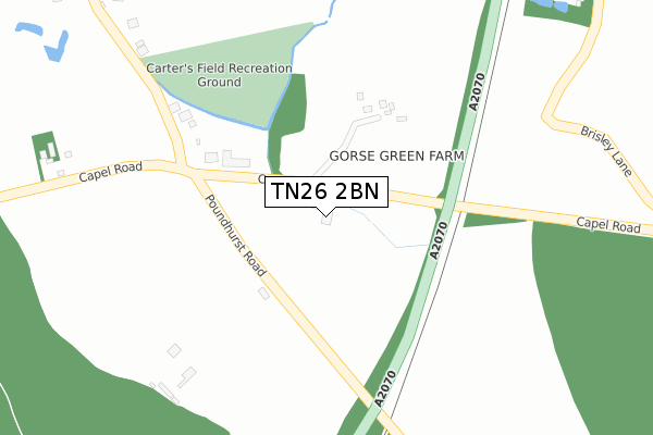
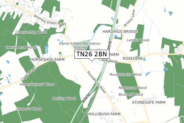
TN26 2BN is located in the Saxon Shore electoral ward, within the local authority district of Ashford and the English Parliamentary constituency of Folkestone and Hythe. The Sub Integrated Care Board (ICB) Location is NHS Kent and Medway ICB - 91Q and the police force is Kent. This postcode has been in use since April 2020.


GetTheData
Source: OS Open Zoomstack (Ordnance Survey)
Licence: Open Government Licence (requires attribution)
Attribution: Contains OS data © Crown copyright and database right 2025
Source: Open Postcode Geo
Licence: Open Government Licence (requires attribution)
Attribution: Contains OS data © Crown copyright and database right 2025; Contains Royal Mail data © Royal Mail copyright and database right 2025; Source: Office for National Statistics licensed under the Open Government Licence v.3.0
| Easting | 600972 |
| Northing | 135801 |
| Latitude | 51.086308 |
| Longitude | 0.868240 |
GetTheData
Source: Open Postcode Geo
Licence: Open Government Licence
| Country | England |
| Postcode District | TN26 |
➜ See where TN26 is on a map | |
GetTheData
Source: Land Registry Price Paid Data
Licence: Open Government Licence
| Ward | Saxon Shore |
| Constituency | Folkestone And Hythe |
GetTheData
Source: ONS Postcode Database
Licence: Open Government Licence
| Woodsend Cottage (Hamstreet Road) | Orlestone | 1,808m |
| Ham Street Station | 2.2km |
GetTheData
Source: NaPTAN
Licence: Open Government Licence
GetTheData
Source: ONS Postcode Database
Licence: Open Government Licence
| Last Collection | |||
|---|---|---|---|
| Location | Mon-Fri | Sat | Distance |
| Ruckinge Crossing | 16:15 | 09:00 | 220m |
| Stone Cross | 16:00 | 10:15 | 2,033m |
| Bromley Green | 16:15 | 09:15 | 2,140m |
GetTheData
Source: Dracos
Licence: Creative Commons Attribution-ShareAlike
The below table lists the International Territorial Level (ITL) codes (formerly Nomenclature of Territorial Units for Statistics (NUTS) codes) and Local Administrative Units (LAU) codes for TN26 2BN:
| ITL 1 Code | Name |
|---|---|
| TLJ | South East (England) |
| ITL 2 Code | Name |
| TLJ4 | Kent |
| ITL 3 Code | Name |
| TLJ45 | Mid Kent |
| LAU 1 Code | Name |
| E07000105 | Ashford |
GetTheData
Source: ONS Postcode Directory
Licence: Open Government Licence
The below table lists the Census Output Area (OA), Lower Layer Super Output Area (LSOA), and Middle Layer Super Output Area (MSOA) for TN26 2BN:
| Code | Name | |
|---|---|---|
| OA | E00121920 | |
| LSOA | E01024014 | Ashford 010B |
| MSOA | E02005005 | Ashford 010 |
GetTheData
Source: ONS Postcode Directory
Licence: Open Government Licence
| TN26 2PH | 307m | |
| TN26 2EE | Bromley Green Road | 608m |
| TN26 2PQ | Poundhurst Road | 648m |
| TN26 2EJ | 769m | |
| TN26 2EF | Bromley Green Road | 877m |
| TN26 2PR | 912m | |
| TN25 7JN | 1017m | |
| TN26 2PW | Brisley Lane | 1203m |
| TN26 2EH | 1267m | |
| TN26 2PG | Gill Lane | 1279m |
GetTheData
Source: Open Postcode Geo; Land Registry Price Paid Data
Licence: Open Government Licence