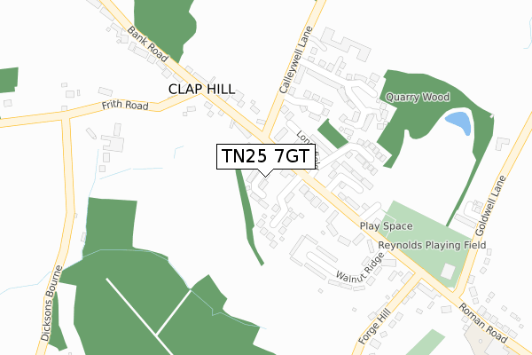
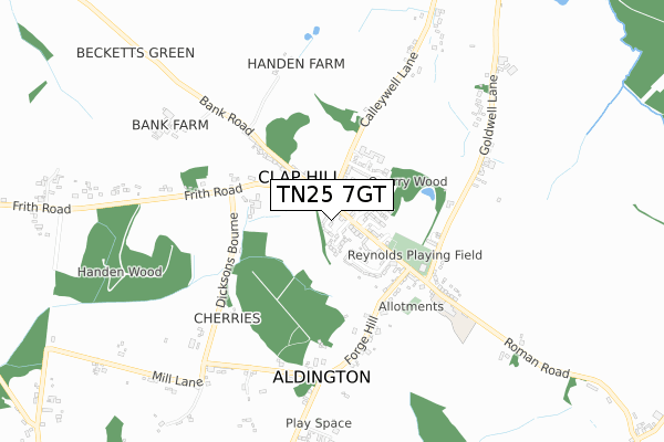
TN25 7GT is located in the Saxon Shore electoral ward, within the local authority district of Ashford and the English Parliamentary constituency of Folkestone and Hythe. The Sub Integrated Care Board (ICB) Location is NHS Kent and Medway ICB - 91Q and the police force is Kent. This postcode has been in use since June 2018.


GetTheData
Source: OS Open Zoomstack (Ordnance Survey)
Licence: Open Government Licence (requires attribution)
Attribution: Contains OS data © Crown copyright and database right 2024
Source: Open Postcode Geo
Licence: Open Government Licence (requires attribution)
Attribution: Contains OS data © Crown copyright and database right 2024; Contains Royal Mail data © Royal Mail copyright and database right 2024; Source: Office for National Statistics licensed under the Open Government Licence v.3.0
| Easting | 606010 |
| Northing | 136785 |
| Latitude | 51.093360 |
| Longitude | 0.940636 |
GetTheData
Source: Open Postcode Geo
Licence: Open Government Licence
| Country | England |
| Postcode District | TN25 |
➜ See where TN25 is on a map | |
GetTheData
Source: Land Registry Price Paid Data
Licence: Open Government Licence
| Ward | Saxon Shore |
| Constituency | Folkestone And Hythe |
GetTheData
Source: ONS Postcode Database
Licence: Open Government Licence
| Fire Station (Roman Road) | Aldington | 165m |
| Fire Station (Roman Road) | Aldington | 201m |
| Walnut Tree (Forge Hill) | Aldington | 327m |
| Walnut Tree (Forge Hill) | Aldington | 350m |
| Walnut Tree Inn (Roman Road) | Aldington | 366m |
GetTheData
Source: NaPTAN
Licence: Open Government Licence
| Percentage of properties with Next Generation Access | 100.0% |
| Percentage of properties with Superfast Broadband | 100.0% |
| Percentage of properties with Ultrafast Broadband | 100.0% |
| Percentage of properties with Full Fibre Broadband | 100.0% |
Superfast Broadband is between 30Mbps and 300Mbps
Ultrafast Broadband is > 300Mbps
| Percentage of properties unable to receive 2Mbps | 0.0% |
| Percentage of properties unable to receive 5Mbps | 0.0% |
| Percentage of properties unable to receive 10Mbps | 0.0% |
| Percentage of properties unable to receive 30Mbps | 0.0% |
GetTheData
Source: Ofcom
Licence: Ofcom Terms of Use (requires attribution)
GetTheData
Source: ONS Postcode Database
Licence: Open Government Licence


➜ Get more ratings from the Food Standards Agency
GetTheData
Source: Food Standards Agency
Licence: FSA terms & conditions
| Last Collection | |||
|---|---|---|---|
| Location | Mon-Fri | Sat | Distance |
| Aldington Post Office | 17:00 | 10:00 | 172m |
| Aldington Corner | 16:00 | 10:00 | 347m |
| Bonnington | 16:30 | 09:00 | 1,031m |
GetTheData
Source: Dracos
Licence: Creative Commons Attribution-ShareAlike
The below table lists the International Territorial Level (ITL) codes (formerly Nomenclature of Territorial Units for Statistics (NUTS) codes) and Local Administrative Units (LAU) codes for TN25 7GT:
| ITL 1 Code | Name |
|---|---|
| TLJ | South East (England) |
| ITL 2 Code | Name |
| TLJ4 | Kent |
| ITL 3 Code | Name |
| TLJ45 | Mid Kent |
| LAU 1 Code | Name |
| E07000105 | Ashford |
GetTheData
Source: ONS Postcode Directory
Licence: Open Government Licence
The below table lists the Census Output Area (OA), Lower Layer Super Output Area (LSOA), and Middle Layer Super Output Area (MSOA) for TN25 7GT:
| Code | Name | |
|---|---|---|
| OA | E00121909 | |
| LSOA | E01024013 | Ashford 010A |
| MSOA | E02005005 | Ashford 010 |
GetTheData
Source: ONS Postcode Directory
Licence: Open Government Licence
| TN25 7DH | Roman Road | 65m |
| TN25 7FN | Badgers Close | 91m |
| TN25 7DP | Longsfield | 94m |
| TN25 7DN | Mount Pleasant | 141m |
| TN25 7EB | Celak Close | 177m |
| TN25 7DL | Ragstone Hollow | 178m |
| TN25 7EY | Quarry Wood | 183m |
| TN25 7DA | Roman Road | 184m |
| TN25 7DR | Earlsfield | 184m |
| TN25 7DW | Walnut Ridge | 244m |
GetTheData
Source: Open Postcode Geo; Land Registry Price Paid Data
Licence: Open Government Licence