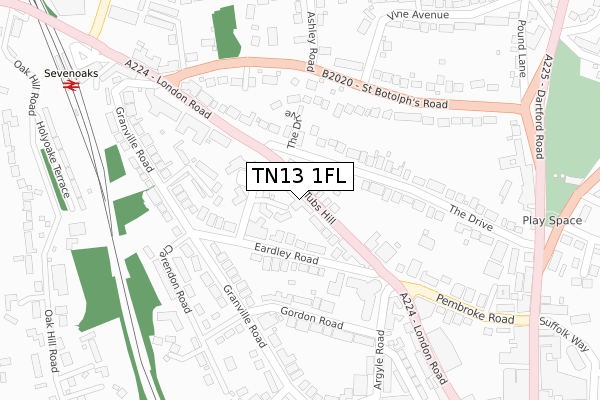
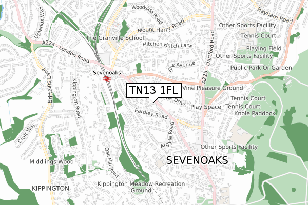
TN13 1FL is located in the Sevenoaks Town and St John's electoral ward, within the local authority district of Sevenoaks and the English Parliamentary constituency of Sevenoaks. The Sub Integrated Care Board (ICB) Location is NHS Kent and Medway ICB - 91Q and the police force is Kent. This postcode has been in use since November 2019.


GetTheData
Source: OS Open Zoomstack (Ordnance Survey)
Licence: Open Government Licence (requires attribution)
Attribution: Contains OS data © Crown copyright and database right 2024
Source: Open Postcode Geo
Licence: Open Government Licence (requires attribution)
Attribution: Contains OS data © Crown copyright and database right 2024; Contains Royal Mail data © Royal Mail copyright and database right 2024; Source: Office for National Statistics licensed under the Open Government Licence v.3.0
| Easting | 552658 |
| Northing | 155125 |
| Latitude | 51.274826 |
| Longitude | 0.187206 |
GetTheData
Source: Open Postcode Geo
Licence: Open Government Licence
| Country | England |
| Postcode District | TN13 |
➜ See where TN13 is on a map ➜ Where is Sevenoaks? | |
GetTheData
Source: Land Registry Price Paid Data
Licence: Open Government Licence
| Ward | Sevenoaks Town And St John's |
| Constituency | Sevenoaks |
GetTheData
Source: ONS Postcode Database
Licence: Open Government Licence
| Tubs Hill Shops (London Road) | Sevenoaks | 85m |
| Tubs Hill Shops (London Road) | Sevenoaks | 85m |
| Medical Centre (St Botolph's Road) | Sevenoaks | 218m |
| Medical Centre (St Botolph's Road) | Sevenoaks | 248m |
| Tubs Hill Shops (Pembroke Road) | Sevenoaks | 296m |
| Sevenoaks Station | 0.4km |
| Bat & Ball Station | 1.7km |
| Dunton Green Station | 2.7km |
GetTheData
Source: NaPTAN
Licence: Open Government Licence
GetTheData
Source: ONS Postcode Database
Licence: Open Government Licence


➜ Get more ratings from the Food Standards Agency
GetTheData
Source: Food Standards Agency
Licence: FSA terms & conditions
| Last Collection | |||
|---|---|---|---|
| Location | Mon-Fri | Sat | Distance |
| London Road | 18:30 | 12:30 | 150m |
| Granville | 17:30 | 12:00 | 189m |
| Vine Avenue | 16:45 | 12:00 | 228m |
GetTheData
Source: Dracos
Licence: Creative Commons Attribution-ShareAlike
The below table lists the International Territorial Level (ITL) codes (formerly Nomenclature of Territorial Units for Statistics (NUTS) codes) and Local Administrative Units (LAU) codes for TN13 1FL:
| ITL 1 Code | Name |
|---|---|
| TLJ | South East (England) |
| ITL 2 Code | Name |
| TLJ4 | Kent |
| ITL 3 Code | Name |
| TLJ46 | West Kent |
| LAU 1 Code | Name |
| E07000111 | Sevenoaks |
GetTheData
Source: ONS Postcode Directory
Licence: Open Government Licence
The below table lists the Census Output Area (OA), Lower Layer Super Output Area (LSOA), and Middle Layer Super Output Area (MSOA) for TN13 1FL:
| Code | Name | |
|---|---|---|
| OA | E00124193 | |
| LSOA | E01024469 | Sevenoaks 012D |
| MSOA | E02005098 | Sevenoaks 012 |
GetTheData
Source: ONS Postcode Directory
Licence: Open Government Licence
| TN13 1BH | London Road | 47m |
| TN13 1XT | Eardley Road | 75m |
| TN13 1BA | London Road | 81m |
| TN13 3AF | The Drive | 110m |
| TN13 3AD | The Drive | 112m |
| TN13 1XX | Eardley Road | 116m |
| TN13 1HD | Knotts Place | 161m |
| TN13 1EY | Granville Road | 161m |
| TN13 1AF | London Road | 169m |
| TN13 1EZ | Granville Road | 185m |
GetTheData
Source: Open Postcode Geo; Land Registry Price Paid Data
Licence: Open Government Licence