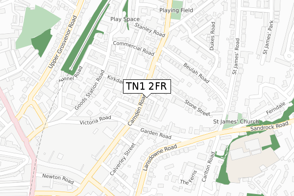
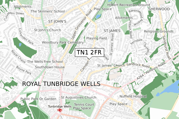
TN1 2FR is located in the St James' electoral ward, within the local authority district of Tunbridge Wells and the English Parliamentary constituency of Tunbridge Wells. The Sub Integrated Care Board (ICB) Location is NHS Kent and Medway ICB - 91Q and the police force is Kent. This postcode has been in use since August 2019.


GetTheData
Source: OS Open Zoomstack (Ordnance Survey)
Licence: Open Government Licence (requires attribution)
Attribution: Contains OS data © Crown copyright and database right 2025
Source: Open Postcode Geo
Licence: Open Government Licence (requires attribution)
Attribution: Contains OS data © Crown copyright and database right 2025; Contains Royal Mail data © Royal Mail copyright and database right 2025; Source: Office for National Statistics licensed under the Open Government Licence v.3.0
| Easting | 558862 |
| Northing | 139892 |
| Latitude | 51.136265 |
| Longitude | 0.269336 |
GetTheData
Source: Open Postcode Geo
Licence: Open Government Licence
| Country | England |
| Postcode District | TN1 |
➜ See where TN1 is on a map ➜ Where is Royal Tunbridge Wells? | |
GetTheData
Source: Land Registry Price Paid Data
Licence: Open Government Licence
| Ward | St James' |
| Constituency | Tunbridge Wells |
GetTheData
Source: ONS Postcode Database
Licence: Open Government Licence
| Garden Road (Camden Road) | Tunbridge Wells | 23m |
| Camden Centre (Victoria Road) | Tunbridge Wells | 132m |
| Garden Road (Camden Road) | Tunbridge Wells | 136m |
| Camden Centre (Victoria Road) | Tunbridge Wells | 162m |
| Black Horse (Camden Road) | Tunbridge Wells | 207m |
| Tunbridge Wells West (Spa Valley Railway) | Showfields | 1,815m |
| Tunbridge Wells Station | 0.8km |
| High Brooms Station | 1.6km |
| Frant Station | 4km |
GetTheData
Source: NaPTAN
Licence: Open Government Licence
GetTheData
Source: ONS Postcode Database
Licence: Open Government Licence


➜ Get more ratings from the Food Standards Agency
GetTheData
Source: Food Standards Agency
Licence: FSA terms & conditions
| Last Collection | |||
|---|---|---|---|
| Location | Mon-Fri | Sat | Distance |
| Camden Road | 17:30 | 12:15 | 22m |
| Lansdowne Road | 17:30 | 12:15 | 186m |
| Beulah Road | 17:30 | 12:00 | 274m |
GetTheData
Source: Dracos
Licence: Creative Commons Attribution-ShareAlike
The below table lists the International Territorial Level (ITL) codes (formerly Nomenclature of Territorial Units for Statistics (NUTS) codes) and Local Administrative Units (LAU) codes for TN1 2FR:
| ITL 1 Code | Name |
|---|---|
| TLJ | South East (England) |
| ITL 2 Code | Name |
| TLJ4 | Kent |
| ITL 3 Code | Name |
| TLJ46 | West Kent |
| LAU 1 Code | Name |
| E07000116 | Tunbridge Wells |
GetTheData
Source: ONS Postcode Directory
Licence: Open Government Licence
The below table lists the Census Output Area (OA), Lower Layer Super Output Area (LSOA), and Middle Layer Super Output Area (MSOA) for TN1 2FR:
| Code | Name | |
|---|---|---|
| OA | E00126057 | |
| LSOA | E01024833 | Tunbridge Wells 008D |
| MSOA | E02005169 | Tunbridge Wells 008 |
GetTheData
Source: ONS Postcode Directory
Licence: Open Government Licence
| TN1 2QR | Camden Road | 25m |
| TN1 2QX | Camden Road | 32m |
| TN1 2QP | Camden Road | 43m |
| TN1 2QS | Wood Street | 46m |
| TN1 2QY | Camden Road | 61m |
| TN1 2SD | Kirkdale Road | 63m |
| TN1 2QJ | Dale Street | 69m |
| TN1 2SB | Kirkdale Road | 87m |
| TN1 2RU | Beech Street | 87m |
| TN1 2QT | Stone Street | 88m |
GetTheData
Source: Open Postcode Geo; Land Registry Price Paid Data
Licence: Open Government Licence