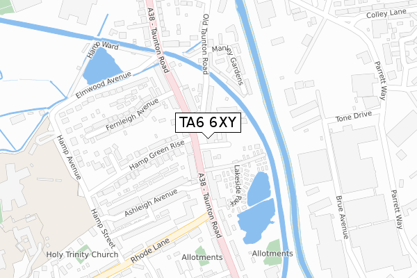
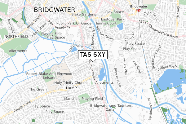
TA6 6XY is located in the Bridgwater South electoral ward, within the unitary authority of Somerset and the English Parliamentary constituency of Bridgwater and West Somerset. The Sub Integrated Care Board (ICB) Location is NHS Somerset ICB - 11X and the police force is Avon and Somerset. This postcode has been in use since October 2017.


GetTheData
Source: OS Open Zoomstack (Ordnance Survey)
Licence: Open Government Licence (requires attribution)
Attribution: Contains OS data © Crown copyright and database right 2025
Source: Open Postcode Geo
Licence: Open Government Licence (requires attribution)
Attribution: Contains OS data © Crown copyright and database right 2025; Contains Royal Mail data © Royal Mail copyright and database right 2025; Source: Office for National Statistics licensed under the Open Government Licence v.3.0
| Easting | 330187 |
| Northing | 136278 |
| Latitude | 51.121510 |
| Longitude | -2.998893 |
GetTheData
Source: Open Postcode Geo
Licence: Open Government Licence
| Country | England |
| Postcode District | TA6 |
➜ See where TA6 is on a map ➜ Where is Bridgwater? | |
GetTheData
Source: Land Registry Price Paid Data
Licence: Open Government Licence
| Ward | Bridgwater South |
| Constituency | Bridgwater And West Somerset |
GetTheData
Source: ONS Postcode Database
Licence: Open Government Licence
| Hope Inn (Taunton Road) | Bridgwater | 77m |
| Hope Inn | Bridgwater | 118m |
| National Tyres (Taunton Road) | Bridgwater | 150m |
| Parkstone Avenue (Taunton Road) | Bridgwater | 286m |
| Rhode Lane | Bridgwater | 440m |
| Bridgwater Station | 0.9km |
GetTheData
Source: NaPTAN
Licence: Open Government Licence
| Percentage of properties with Next Generation Access | 100.0% |
| Percentage of properties with Superfast Broadband | 100.0% |
| Percentage of properties with Ultrafast Broadband | 100.0% |
| Percentage of properties with Full Fibre Broadband | 100.0% |
Superfast Broadband is between 30Mbps and 300Mbps
Ultrafast Broadband is > 300Mbps
| Percentage of properties unable to receive 2Mbps | 0.0% |
| Percentage of properties unable to receive 5Mbps | 0.0% |
| Percentage of properties unable to receive 10Mbps | 0.0% |
| Percentage of properties unable to receive 30Mbps | 0.0% |
GetTheData
Source: Ofcom
Licence: Ofcom Terms of Use (requires attribution)
GetTheData
Source: ONS Postcode Database
Licence: Open Government Licence


➜ Get more ratings from the Food Standards Agency
GetTheData
Source: Food Standards Agency
Licence: FSA terms & conditions
| Last Collection | |||
|---|---|---|---|
| Location | Mon-Fri | Sat | Distance |
| Salmon Parade | 17:00 | 12:30 | 592m |
| Ringwood Road | 17:00 | 12:00 | 644m |
| Bridgwater Delivery Office | 18:00 | 13:30 | 683m |
GetTheData
Source: Dracos
Licence: Creative Commons Attribution-ShareAlike
| Risk of TA6 6XY flooding from rivers and sea | Low |
| ➜ TA6 6XY flood map | |
GetTheData
Source: Open Flood Risk by Postcode
Licence: Open Government Licence
The below table lists the International Territorial Level (ITL) codes (formerly Nomenclature of Territorial Units for Statistics (NUTS) codes) and Local Administrative Units (LAU) codes for TA6 6XY:
| ITL 1 Code | Name |
|---|---|
| TLK | South West (England) |
| ITL 2 Code | Name |
| TLK2 | Dorset and Somerset |
| ITL 3 Code | Name |
| TLK23 | Somerset CC |
| LAU 1 Code | Name |
| E07000188 | Sedgemoor |
GetTheData
Source: ONS Postcode Directory
Licence: Open Government Licence
The below table lists the Census Output Area (OA), Lower Layer Super Output Area (LSOA), and Middle Layer Super Output Area (MSOA) for TA6 6XY:
| Code | Name | |
|---|---|---|
| OA | E00148206 | |
| LSOA | E01029098 | Sedgemoor 013B |
| MSOA | E02006073 | Sedgemoor 013 |
GetTheData
Source: ONS Postcode Directory
Licence: Open Government Licence
| TA6 6BU | Southgate Avenue | 52m |
| TA6 6BD | Taunton Road | 62m |
| TA6 6BA | Taunton Road | 68m |
| TA6 6AF | Taunton Road | 83m |
| TA6 6BX | Old Taunton Road | 98m |
| TA6 6AD | Taunton Road | 129m |
| TA6 6AZ | Hamp Green Rise | 140m |
| TA6 6AU | Ashleigh Avenue | 161m |
| TA6 6BB | Taunton Road | 161m |
| TA6 6AE | Taunton Road | 184m |
GetTheData
Source: Open Postcode Geo; Land Registry Price Paid Data
Licence: Open Government Licence