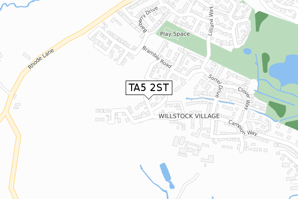
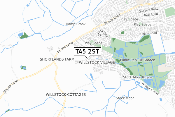
TA5 2ST is located in the Cannington electoral ward, within the unitary authority of Somerset and the English Parliamentary constituency of Bridgwater and West Somerset. The Sub Integrated Care Board (ICB) Location is NHS Somerset ICB - 11X and the police force is Avon and Somerset. This postcode has been in use since November 2019.


GetTheData
Source: OS Open Zoomstack (Ordnance Survey)
Licence: Open Government Licence (requires attribution)
Attribution: Contains OS data © Crown copyright and database right 2025
Source: Open Postcode Geo
Licence: Open Government Licence (requires attribution)
Attribution: Contains OS data © Crown copyright and database right 2025; Contains Royal Mail data © Royal Mail copyright and database right 2025; Source: Office for National Statistics licensed under the Open Government Licence v.3.0
| Easting | 326106 |
| Northing | 142164 |
| Latitude | 51.173916 |
| Longitude | -3.058404 |
GetTheData
Source: Open Postcode Geo
Licence: Open Government Licence
| Country | England |
| Postcode District | TA5 |
➜ See where TA5 is on a map | |
GetTheData
Source: Land Registry Price Paid Data
Licence: Open Government Licence
| Ward | Cannington |
| Constituency | Bridgwater And West Somerset |
GetTheData
Source: ONS Postcode Database
Licence: Open Government Licence
| Ship Inn (Ship Lane) | Combwich | 329m |
| Brookside Road Post Office (Brookside Road) | Combwich | 430m |
| Brookside Road Post Office (Brookside Road) | Combwich | 433m |
| Crossway Farm | Combwich | 707m |
| Crossway Farm (Brookside Road) | Combwich | 709m |
GetTheData
Source: NaPTAN
Licence: Open Government Licence
GetTheData
Source: ONS Postcode Database
Licence: Open Government Licence

➜ Get more ratings from the Food Standards Agency
GetTheData
Source: Food Standards Agency
Licence: FSA terms & conditions
| Last Collection | |||
|---|---|---|---|
| Location | Mon-Fri | Sat | Distance |
| Combwich Post Office | 17:00 | 11:00 | 430m |
| Cannington | 12:00 | 11:15 | 2,981m |
| Perry Green | 10:45 | 10:45 | 3,761m |
GetTheData
Source: Dracos
Licence: Creative Commons Attribution-ShareAlike
The below table lists the International Territorial Level (ITL) codes (formerly Nomenclature of Territorial Units for Statistics (NUTS) codes) and Local Administrative Units (LAU) codes for TA5 2ST:
| ITL 1 Code | Name |
|---|---|
| TLK | South West (England) |
| ITL 2 Code | Name |
| TLK2 | Dorset and Somerset |
| ITL 3 Code | Name |
| TLK23 | Somerset CC |
| LAU 1 Code | Name |
| E07000188 | Sedgemoor |
GetTheData
Source: ONS Postcode Directory
Licence: Open Government Licence
The below table lists the Census Output Area (OA), Lower Layer Super Output Area (LSOA), and Middle Layer Super Output Area (MSOA) for TA5 2ST:
| Code | Name | |
|---|---|---|
| OA | E00148342 | |
| LSOA | E01029121 | Sedgemoor 007A |
| MSOA | E02006067 | Sedgemoor 007 |
GetTheData
Source: ONS Postcode Directory
Licence: Open Government Licence
| TA5 2QX | Riverside | 154m |
| TA5 2QY | Riverside | 158m |
| TA5 2RF | Estuary Park | 193m |
| TA5 2QU | Harbour View | 197m |
| TA5 2QZ | Riverside | 198m |
| TA5 2RD | Martyn Close | 227m |
| TA5 2QL | Brookside Road | 235m |
| TA5 2RE | River View | 247m |
| TA5 2RG | Kiln Close | 250m |
| TA5 2RA | Riverside | 255m |
GetTheData
Source: Open Postcode Geo; Land Registry Price Paid Data
Licence: Open Government Licence