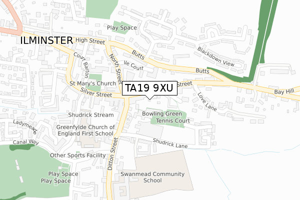
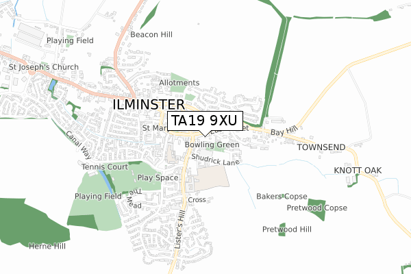
TA19 9XU is located in the Ilminster electoral ward, within the unitary authority of Somerset and the English Parliamentary constituency of Yeovil. The Sub Integrated Care Board (ICB) Location is NHS Somerset ICB - 11X and the police force is Avon and Somerset. This postcode has been in use since September 2018.


GetTheData
Source: OS Open Zoomstack (Ordnance Survey)
Licence: Open Government Licence (requires attribution)
Attribution: Contains OS data © Crown copyright and database right 2025
Source: Open Postcode Geo
Licence: Open Government Licence (requires attribution)
Attribution: Contains OS data © Crown copyright and database right 2025; Contains Royal Mail data © Royal Mail copyright and database right 2025; Source: Office for National Statistics licensed under the Open Government Licence v.3.0
| Easting | 336209 |
| Northing | 114515 |
| Latitude | 50.926538 |
| Longitude | -2.909023 |
GetTheData
Source: Open Postcode Geo
Licence: Open Government Licence
| Country | England |
| Postcode District | TA19 |
➜ See where TA19 is on a map | |
GetTheData
Source: Land Registry Price Paid Data
Licence: Open Government Licence
| Ward | Ilminster |
| Constituency | Yeovil |
GetTheData
Source: ONS Postcode Database
Licence: Open Government Licence
| The Square | Ilminster | 62m |
| Market House (East Street) | Ilminster | 78m |
| Butts | Ilminster | 135m |
| Butts (Blackdown View) | Ilminster | 135m |
| Holly Cottage (Butts) | Ilminster | 175m |
GetTheData
Source: NaPTAN
Licence: Open Government Licence
GetTheData
Source: ONS Postcode Database
Licence: Open Government Licence


➜ Get more ratings from the Food Standards Agency
GetTheData
Source: Food Standards Agency
Licence: FSA terms & conditions
| Last Collection | |||
|---|---|---|---|
| Location | Mon-Fri | Sat | Distance |
| Ilminster Post Office | 17:15 | 12:15 | 54m |
| Bat Hill | 17:00 | 11:30 | 360m |
| The Mead | 16:00 | 11:45 | 463m |
GetTheData
Source: Dracos
Licence: Creative Commons Attribution-ShareAlike
The below table lists the International Territorial Level (ITL) codes (formerly Nomenclature of Territorial Units for Statistics (NUTS) codes) and Local Administrative Units (LAU) codes for TA19 9XU:
| ITL 1 Code | Name |
|---|---|
| TLK | South West (England) |
| ITL 2 Code | Name |
| TLK2 | Dorset and Somerset |
| ITL 3 Code | Name |
| TLK23 | Somerset CC |
| LAU 1 Code | Name |
| E07000189 | South Somerset |
GetTheData
Source: ONS Postcode Directory
Licence: Open Government Licence
The below table lists the Census Output Area (OA), Lower Layer Super Output Area (LSOA), and Middle Layer Super Output Area (MSOA) for TA19 9XU:
| Code | Name | |
|---|---|---|
| OA | E00148713 | |
| LSOA | E01029193 | South Somerset 019A |
| MSOA | E02006093 | South Somerset 019 |
GetTheData
Source: ONS Postcode Directory
Licence: Open Government Licence
| TA19 0AJ | East Street | 19m |
| TA19 0AA | East Street | 33m |
| TA19 0AL | East Street | 50m |
| TA19 0AP | Frog Lane | 64m |
| TA19 0AN | East Street | 98m |
| TA19 0DE | Ile Court | 102m |
| TA19 0BQ | Ditton Street | 118m |
| TA19 0DD | Silver Street | 126m |
| TA19 0DG | North Street | 132m |
| TA19 0DJ | Silver Street | 135m |
GetTheData
Source: Open Postcode Geo; Land Registry Price Paid Data
Licence: Open Government Licence