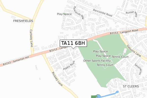
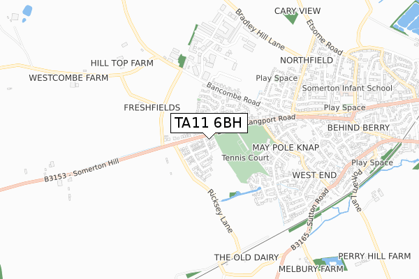
TA11 6BH is located in the Somerton electoral ward, within the unitary authority of Somerset and the English Parliamentary constituency of Somerton and Frome. The Sub Integrated Care Board (ICB) Location is NHS Somerset ICB - 11X and the police force is Avon and Somerset. This postcode has been in use since July 2018.


GetTheData
Source: OS Open Zoomstack (Ordnance Survey)
Licence: Open Government Licence (requires attribution)
Attribution: Contains OS data © Crown copyright and database right 2025
Source: Open Postcode Geo
Licence: Open Government Licence (requires attribution)
Attribution: Contains OS data © Crown copyright and database right 2025; Contains Royal Mail data © Royal Mail copyright and database right 2025; Source: Office for National Statistics licensed under the Open Government Licence v.3.0
| Easting | 347627 |
| Northing | 128528 |
| Latitude | 51.053689 |
| Longitude | -2.748603 |
GetTheData
Source: Open Postcode Geo
Licence: Open Government Licence
| Country | England |
| Postcode District | TA11 |
➜ See where TA11 is on a map ➜ Where is Somerton? | |
GetTheData
Source: Land Registry Price Paid Data
Licence: Open Government Licence
| Ward | Somerton |
| Constituency | Somerton And Frome |
GetTheData
Source: ONS Postcode Database
Licence: Open Government Licence
6, LILY CLOSE, SOMERTON, TA11 6BH 2021 25 JUN £470,000 |
8, LILY CLOSE, SOMERTON, TA11 6BH 2020 19 JAN £525,000 |
8, LILY CLOSE, SOMERTON, TA11 6BH 2018 27 JUN £440,000 |
GetTheData
Source: HM Land Registry Price Paid Data
Licence: Contains HM Land Registry data © Crown copyright and database right 2025. This data is licensed under the Open Government Licence v3.0.
| Bincombe Road Trading Estate | Somerton Hill | 119m |
| Bincombe Road Trading Estate (Langport Road) | Somerton Hill | 125m |
| Gassons Lane (Langport Road) | Somerton | 325m |
| Garden Cottage (Gassons Lane) | Somerton | 335m |
| Gassons Lane (Langport Road) | Somerton | 357m |
GetTheData
Source: NaPTAN
Licence: Open Government Licence
| Percentage of properties with Next Generation Access | 100.0% |
| Percentage of properties with Superfast Broadband | 100.0% |
| Percentage of properties with Ultrafast Broadband | 100.0% |
| Percentage of properties with Full Fibre Broadband | 100.0% |
Superfast Broadband is between 30Mbps and 300Mbps
Ultrafast Broadband is > 300Mbps
| Percentage of properties unable to receive 2Mbps | 0.0% |
| Percentage of properties unable to receive 5Mbps | 0.0% |
| Percentage of properties unable to receive 10Mbps | 0.0% |
| Percentage of properties unable to receive 30Mbps | 0.0% |
GetTheData
Source: Ofcom
Licence: Ofcom Terms of Use (requires attribution)
GetTheData
Source: ONS Postcode Database
Licence: Open Government Licence


➜ Get more ratings from the Food Standards Agency
GetTheData
Source: Food Standards Agency
Licence: FSA terms & conditions
| Last Collection | |||
|---|---|---|---|
| Location | Mon-Fri | Sat | Distance |
| Poundpool | 17:15 | 09:00 | 854m |
| Somerton Post Office | 17:15 | 11:30 | 1,072m |
| Market Square | 17:15 | 08:45 | 1,423m |
GetTheData
Source: Dracos
Licence: Creative Commons Attribution-ShareAlike
The below table lists the International Territorial Level (ITL) codes (formerly Nomenclature of Territorial Units for Statistics (NUTS) codes) and Local Administrative Units (LAU) codes for TA11 6BH:
| ITL 1 Code | Name |
|---|---|
| TLK | South West (England) |
| ITL 2 Code | Name |
| TLK2 | Dorset and Somerset |
| ITL 3 Code | Name |
| TLK23 | Somerset CC |
| LAU 1 Code | Name |
| E07000189 | South Somerset |
GetTheData
Source: ONS Postcode Directory
Licence: Open Government Licence
The below table lists the Census Output Area (OA), Lower Layer Super Output Area (LSOA), and Middle Layer Super Output Area (MSOA) for TA11 6BH:
| Code | Name | |
|---|---|---|
| OA | E00148876 | |
| LSOA | E01029224 | South Somerset 003A |
| MSOA | E02006077 | South Somerset 003 |
GetTheData
Source: ONS Postcode Directory
Licence: Open Government Licence
| TA11 6HX | Langport Road | 83m |
| TA11 6AS | Meadow Close | 112m |
| TA11 6HU | Langport Road | 116m |
| TA11 6JG | Parklands Way | 183m |
| TA11 6HQ | Westholm Road | 241m |
| TA11 6HT | Langport Road | 253m |
| TA11 6JF | Parklands Way | 259m |
| TA11 6JQ | Orchard Road | 263m |
| TA11 6SY | Bancombe Road | 281m |
| TA11 6JE | Bancombe Road | 316m |
GetTheData
Source: Open Postcode Geo; Land Registry Price Paid Data
Licence: Open Government Licence