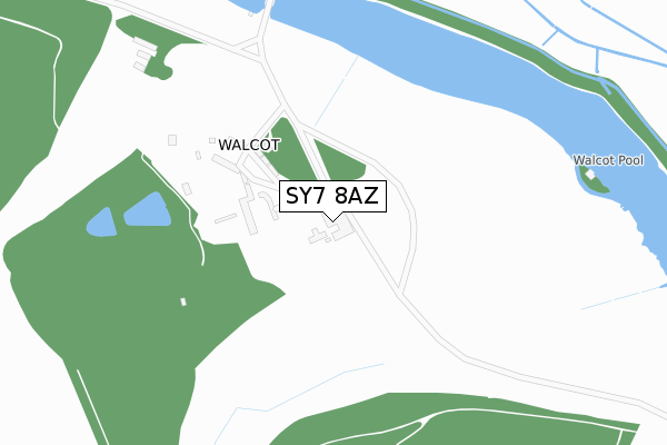
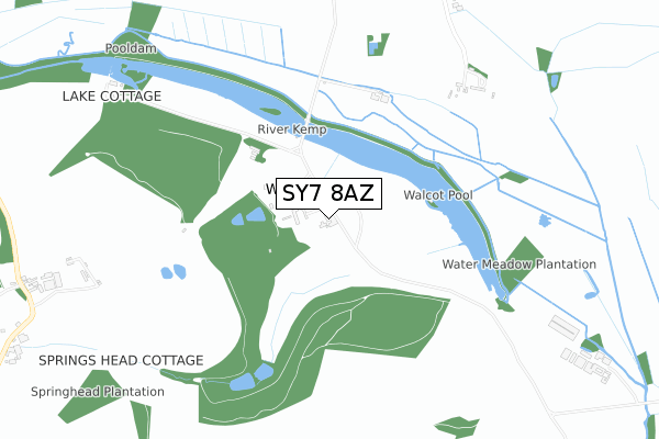
SY7 8AZ is located in the Bishop's Castle electoral ward, within the unitary authority of Shropshire and the English Parliamentary constituency of Ludlow. The Sub Integrated Care Board (ICB) Location is NHS Shropshire, Telford and Wrekin ICB - M2L0M and the police force is West Mercia. This postcode has been in use since August 1993.


GetTheData
Source: OS Open Zoomstack (Ordnance Survey)
Licence: Open Government Licence (requires attribution)
Attribution: Contains OS data © Crown copyright and database right 2024
Source: Open Postcode Geo
Licence: Open Government Licence (requires attribution)
Attribution: Contains OS data © Crown copyright and database right 2024; Contains Royal Mail data © Royal Mail copyright and database right 2024; Source: Office for National Statistics licensed under the Open Government Licence v.3.0
| Easting | 334868 |
| Northing | 284980 |
| Latitude | 52.458867 |
| Longitude | -2.959990 |
GetTheData
Source: Open Postcode Geo
Licence: Open Government Licence
| Country | England |
| Postcode District | SY7 |
➜ See where SY7 is on a map ➜ Where is Walcot? | |
GetTheData
Source: Land Registry Price Paid Data
Licence: Open Government Licence
Elevation or altitude of SY7 8AZ as distance above sea level:
| Metres | Feet | |
|---|---|---|
| Elevation | 170m | 558ft |
Elevation is measured from the approximate centre of the postcode, to the nearest point on an OS contour line from OS Terrain 50, which has contour spacing of ten vertical metres.
➜ How high above sea level am I? Find the elevation of your current position using your device's GPS.
GetTheData
Source: Open Postcode Elevation
Licence: Open Government Licence
| Ward | Bishop's Castle |
| Constituency | Ludlow |
GetTheData
Source: ONS Postcode Database
Licence: Open Government Licence
| School (B4385) | Lydbury North | 974m |
| Church (B4385) | Lydbury North | 1,073m |
GetTheData
Source: NaPTAN
Licence: Open Government Licence
GetTheData
Source: ONS Postcode Database
Licence: Open Government Licence


➜ Get more ratings from the Food Standards Agency
GetTheData
Source: Food Standards Agency
Licence: FSA terms & conditions
| Last Collection | |||
|---|---|---|---|
| Location | Mon-Fri | Sat | Distance |
| Kempton | 17:30 | 11:45 | 2,236m |
| Clunton | 16:15 | 12:00 | 3,861m |
| Little Brampton | 16:00 | 09:45 | 4,115m |
GetTheData
Source: Dracos
Licence: Creative Commons Attribution-ShareAlike
The below table lists the International Territorial Level (ITL) codes (formerly Nomenclature of Territorial Units for Statistics (NUTS) codes) and Local Administrative Units (LAU) codes for SY7 8AZ:
| ITL 1 Code | Name |
|---|---|
| TLG | West Midlands (England) |
| ITL 2 Code | Name |
| TLG2 | Shropshire and Staffordshire |
| ITL 3 Code | Name |
| TLG22 | Shropshire |
| LAU 1 Code | Name |
| E06000051 | Shropshire |
GetTheData
Source: ONS Postcode Directory
Licence: Open Government Licence
The below table lists the Census Output Area (OA), Lower Layer Super Output Area (LSOA), and Middle Layer Super Output Area (MSOA) for SY7 8AZ:
| Code | Name | |
|---|---|---|
| OA | E00147719 | |
| LSOA | E01029005 | Shropshire 037C |
| MSOA | E02006044 | Shropshire 037 |
GetTheData
Source: ONS Postcode Directory
Licence: Open Government Licence
| SY7 8AS | 957m | |
| SY7 8BN | Oak Tree Crescent | 972m |
| SY7 8BB | Long Row | 1007m |
| SY7 8EA | St Michaels Close | 1058m |
| SY7 8AT | South View | 1068m |
| SY7 8AU | 1108m | |
| SY7 8AR | 1128m | |
| SY7 8AA | Walcot Avenue | 1731m |
| SY7 8AD | 1735m | |
| SY7 0JQ | 1847m |
GetTheData
Source: Open Postcode Geo; Land Registry Price Paid Data
Licence: Open Government Licence