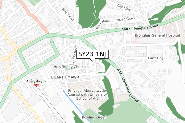
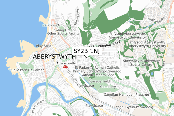
SY23 1NJ is located in the Aberystwyth Morfa a Glais electoral ward, within the unitary authority of Ceredigion and the Welsh Parliamentary constituency of Ceredigion. The Local Health Board is Hywel Dda University and the police force is Dyfed-Powys. This postcode has been in use since June 2019.


GetTheData
Source: OS Open Zoomstack (Ordnance Survey)
Licence: Open Government Licence (requires attribution)
Attribution: Contains OS data © Crown copyright and database right 2024
Source: Open Postcode Geo
Licence: Open Government Licence (requires attribution)
Attribution: Contains OS data © Crown copyright and database right 2024; Contains Royal Mail data © Royal Mail copyright and database right 2024; Source: Office for National Statistics licensed under the Open Government Licence v.3.0
| Easting | 258850 |
| Northing | 281686 |
| Latitude | 52.414922 |
| Longitude | -4.076799 |
GetTheData
Source: Open Postcode Geo
Licence: Open Government Licence
| Country | Wales |
| Postcode District | SY23 |
➜ See where SY23 is on a map | |
GetTheData
Source: Land Registry Price Paid Data
Licence: Open Government Licence
| Ward | Aberystwyth Morfa A Glais |
| Constituency | Ceredigion |
GetTheData
Source: ONS Postcode Database
Licence: Open Government Licence
| Social Security (Northgate Street) | Aberystwyth | 186m |
| St David`s Road (Llanbadarn Road) | Aberystwyth | 195m |
| Llanbadarn Road | Aberystwyth | 197m |
| Moor Lane (Thespian Street) | Aberystwyth | 213m |
| St Padarn's Rc Primary School (A44) | Aberystwyth | 247m |
| Llanbadarn (Vale Of Rheidol Railway) | Llanbadarn Fawr | 1,397m |
| Aberystwyth Station | 0.4km |
GetTheData
Source: NaPTAN
Licence: Open Government Licence
GetTheData
Source: ONS Postcode Database
Licence: Open Government Licence


➜ Get more ratings from the Food Standards Agency
GetTheData
Source: Food Standards Agency
Licence: FSA terms & conditions
| Last Collection | |||
|---|---|---|---|
| Location | Mon-Fri | Sat | Distance |
| Buarth Road | 17:00 | 11:45 | 102m |
| Caradog Road | 17:30 | 11:45 | 161m |
| Penglais Road | 17:30 | 11:45 | 224m |
GetTheData
Source: Dracos
Licence: Creative Commons Attribution-ShareAlike
The below table lists the International Territorial Level (ITL) codes (formerly Nomenclature of Territorial Units for Statistics (NUTS) codes) and Local Administrative Units (LAU) codes for SY23 1NJ:
| ITL 1 Code | Name |
|---|---|
| TLL | Wales |
| ITL 2 Code | Name |
| TLL1 | West Wales and The Valleys |
| ITL 3 Code | Name |
| TLL14 | South West Wales |
| LAU 1 Code | Name |
| W06000008 | Ceredigion |
GetTheData
Source: ONS Postcode Directory
Licence: Open Government Licence
The below table lists the Census Output Area (OA), Lower Layer Super Output Area (LSOA), and Middle Layer Super Output Area (MSOA) for SY23 1NJ:
| Code | Name | |
|---|---|---|
| OA | W00002737 | |
| LSOA | W01000512 | Ceredigion 002A |
| MSOA | W02000117 | Ceredigion 002 |
GetTheData
Source: ONS Postcode Directory
Licence: Open Government Licence
| SY23 1NA | Banadl Road | 0m |
| SY23 1LZ | Edgehill Road | 51m |
| SY23 1NB | Buarth Road | 69m |
| SY23 1LU | Trinity Road | 96m |
| SY23 1EJ | Llanbadarn Road | 96m |
| SY23 1EL | Cambrian Square | 109m |
| SY23 1EH | Epworth Terrace | 109m |
| SY23 1LX | Pound Place | 125m |
| SY23 1LT | Trinity Place | 129m |
| SY23 2JZ | Caradoc Road | 139m |
GetTheData
Source: Open Postcode Geo; Land Registry Price Paid Data
Licence: Open Government Licence